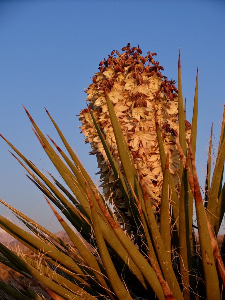
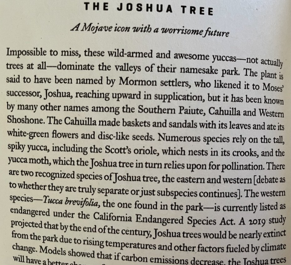

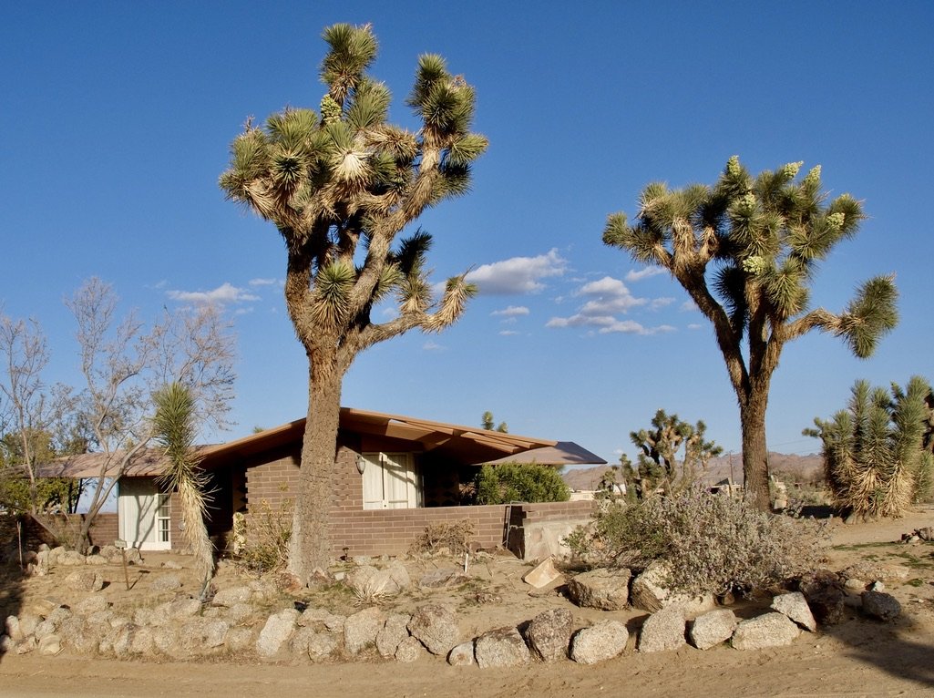
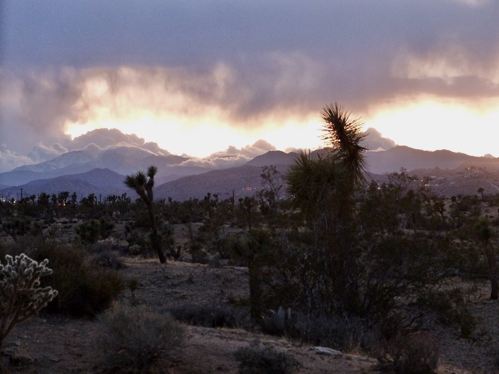
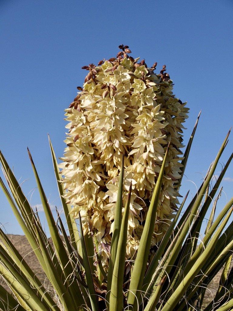
Mojave yucca or Spanish dagger at dawn.
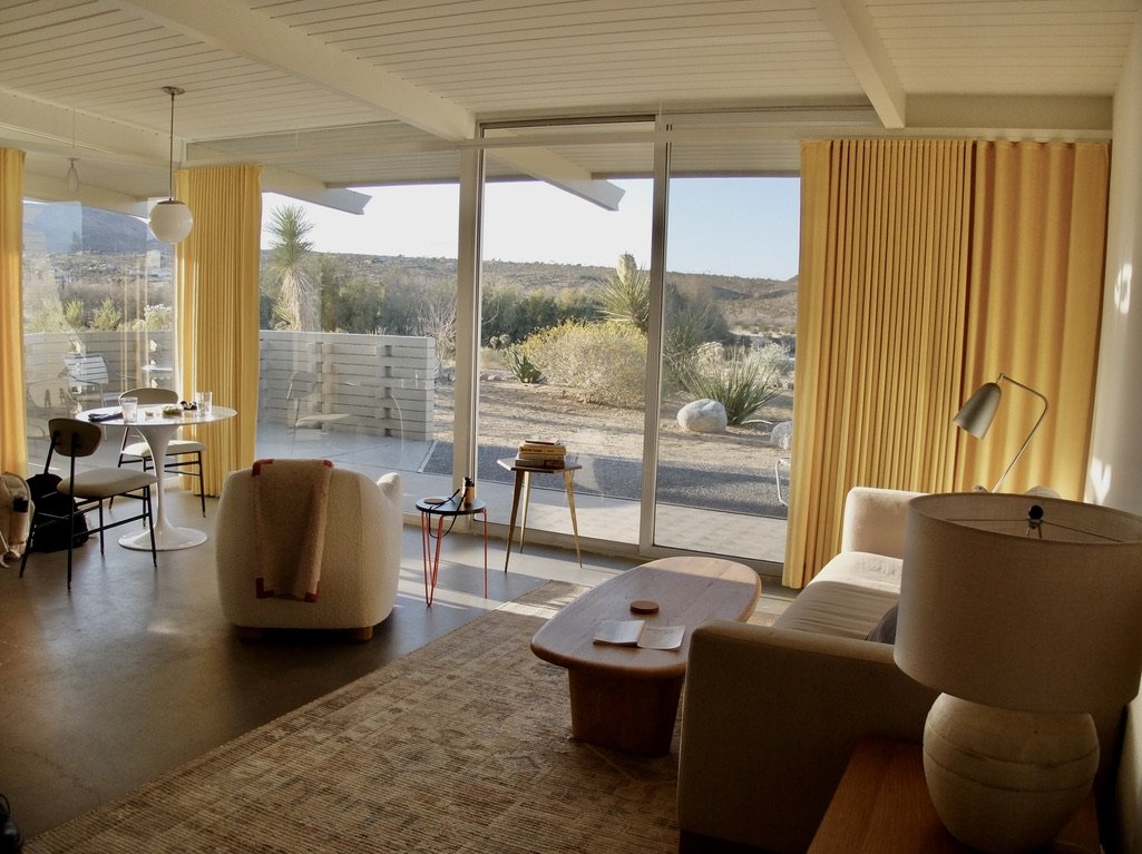
Outside our bungalow, by Homestead Modern, 29 Palms, CA .
After lunch in Palm Springs (on the left in the map) we were headed back to explore Joshua Tree National Park (JTNP). It was about the same time to drive to a northern entrance to JTNP as it was to the southern Cottonwood park entrance.
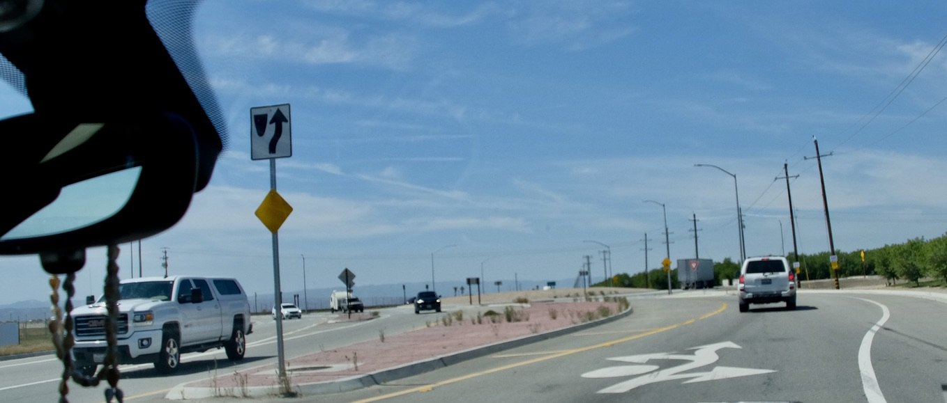
So we drove CA 10 to the Cottonwood entrance to see what there was along the way.
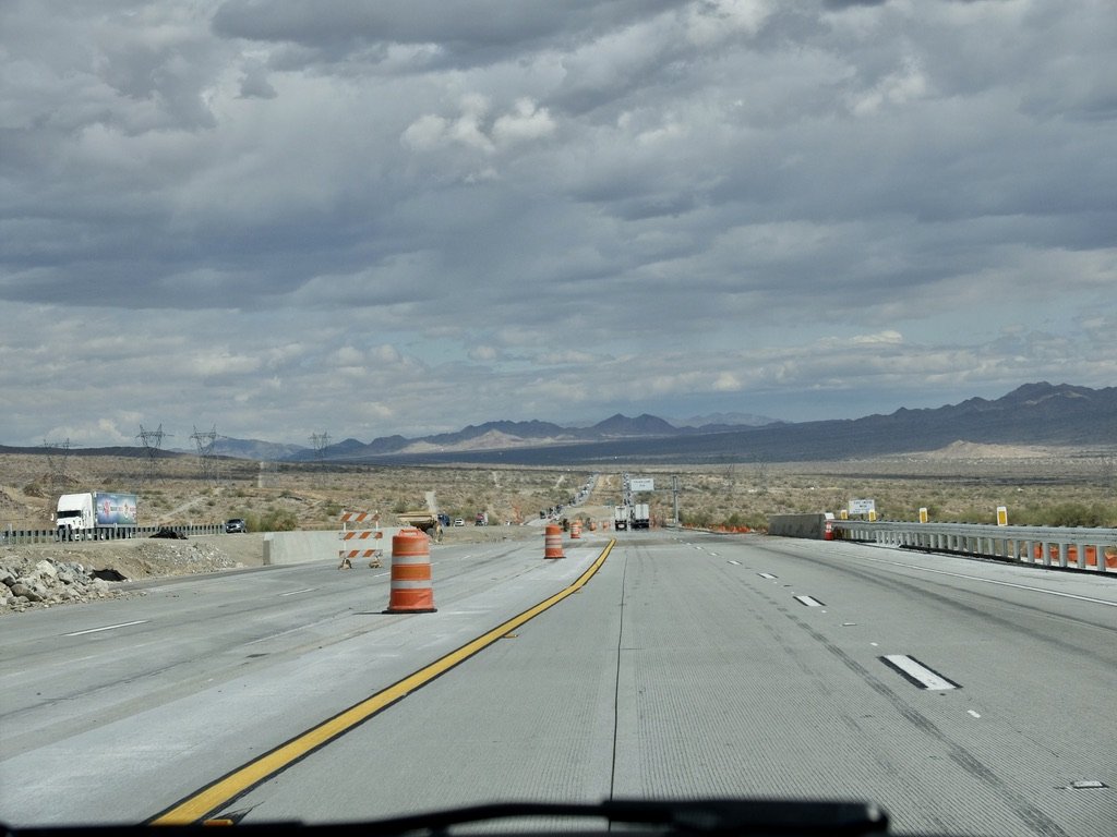
Straight ahead are the The Palen Mountains, Palen Dry Lake & Sand Dunes in the B.L.M. Palen/McCoy Wilderness Area. To the right is the beginning of the Chuckwalla Mountains Wilderness.
To the left is JTNP. We had quite a ways to go from here to the Cottonwood entrance.
US 10 overpass to the Park’s Cottonwood entrance & the Pinto Basin Road.
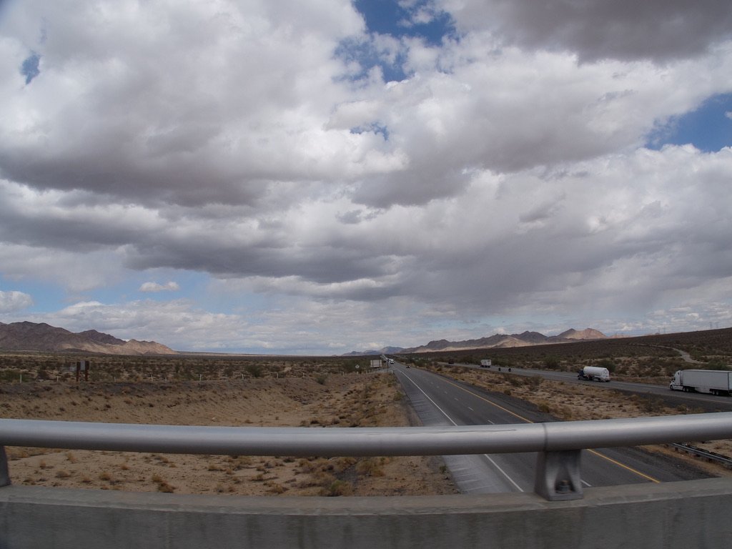
On the left are the Eagle Mountains within JTNP.
The Salton Sea is way over to the right.
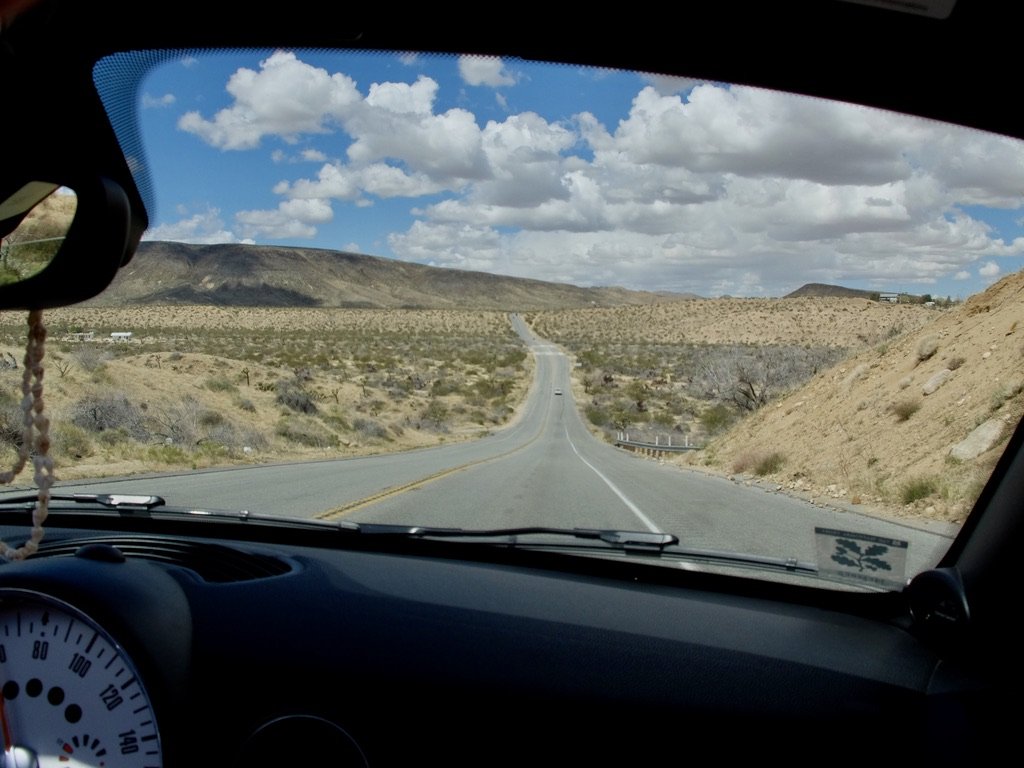
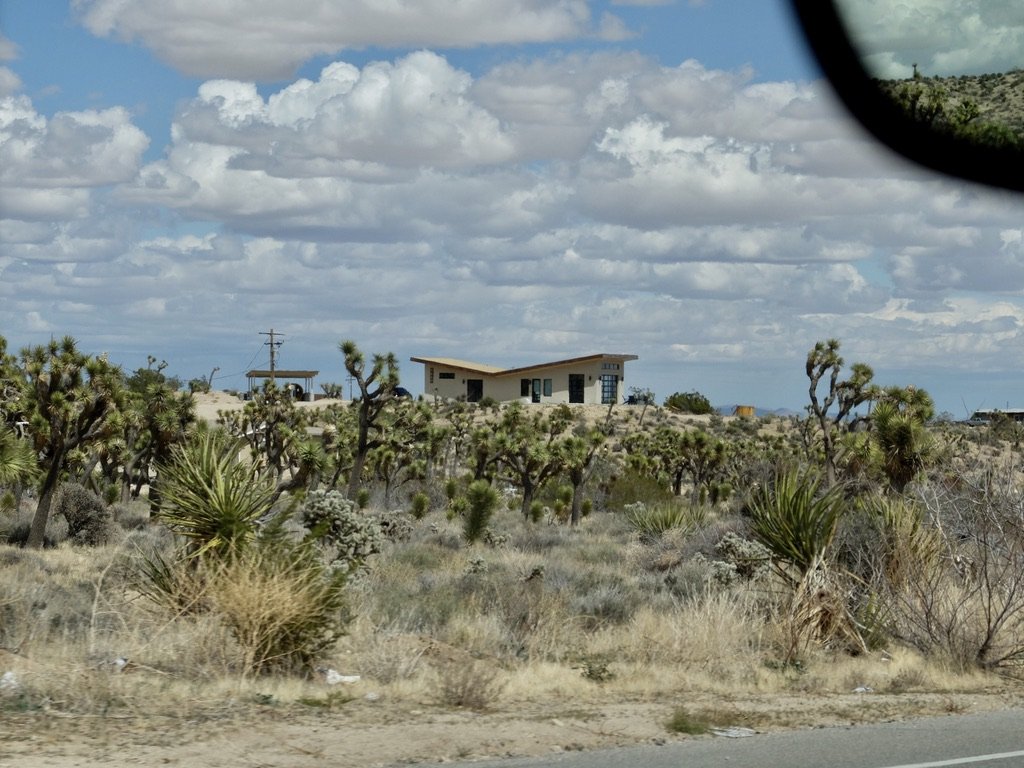
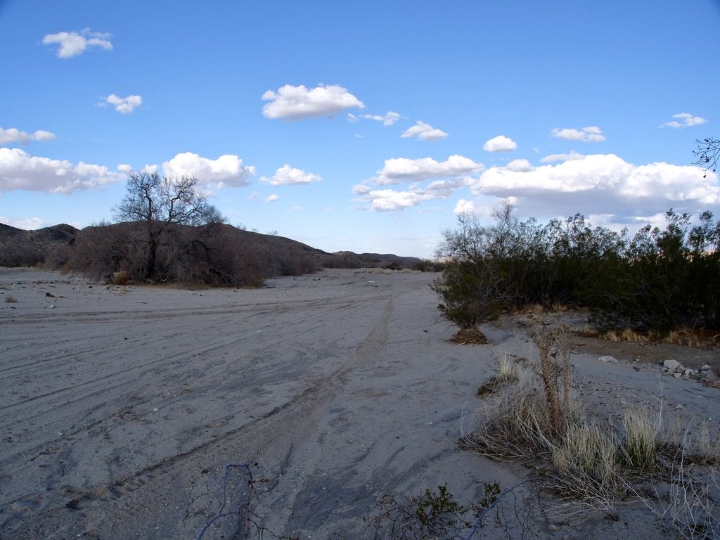
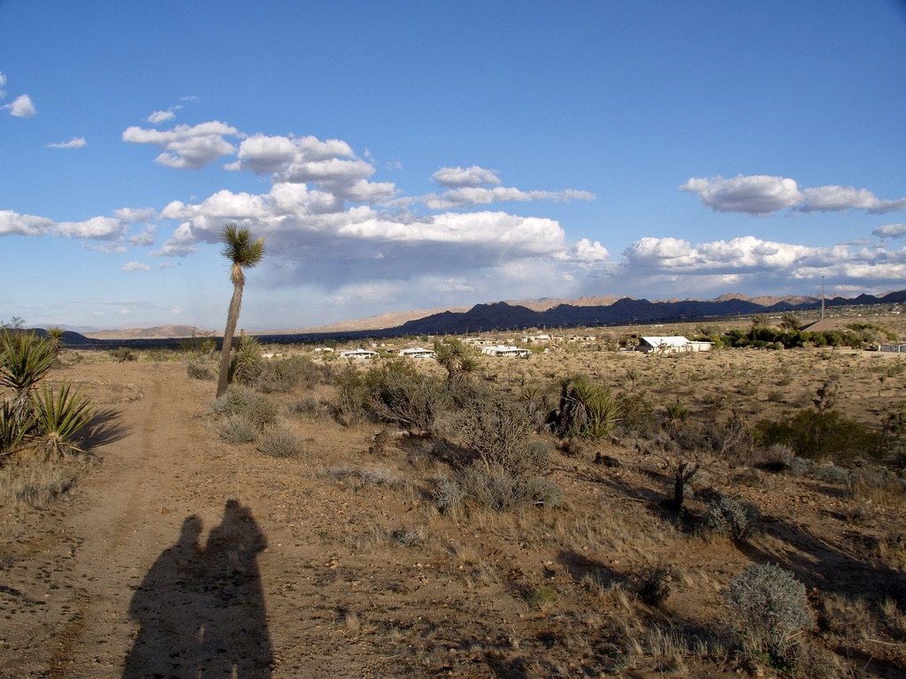
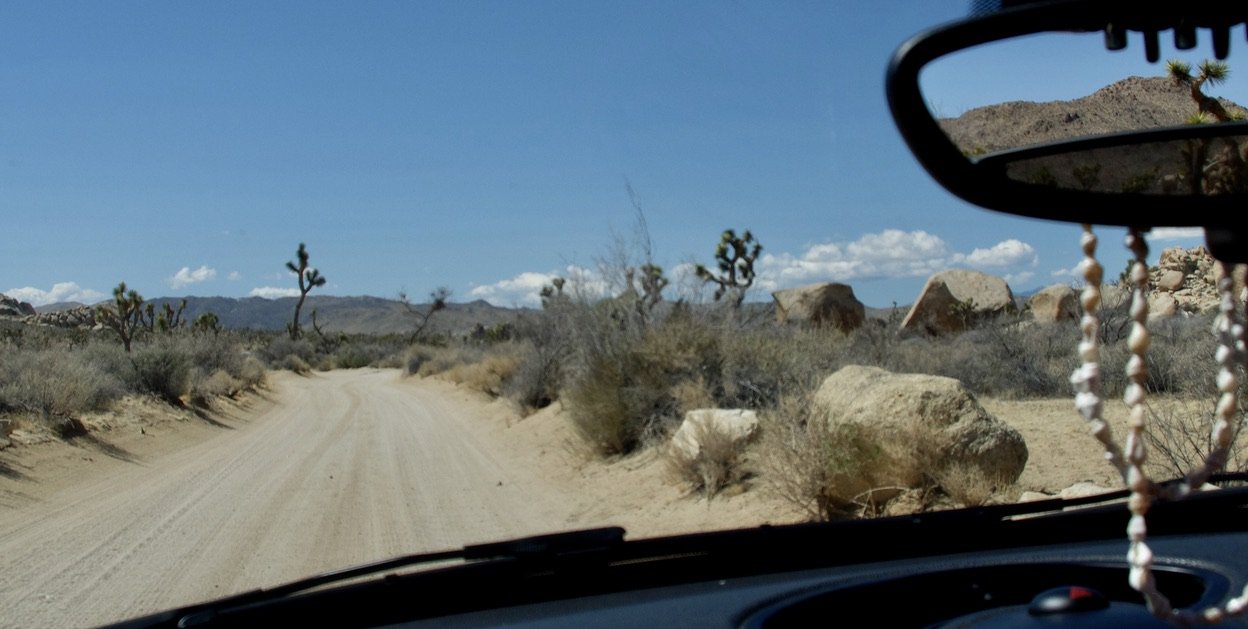
Driving on Cottonwood Springs Road almost 6 miles to the Cottonwood Visitor Center/South Entrance Station of JTNP.
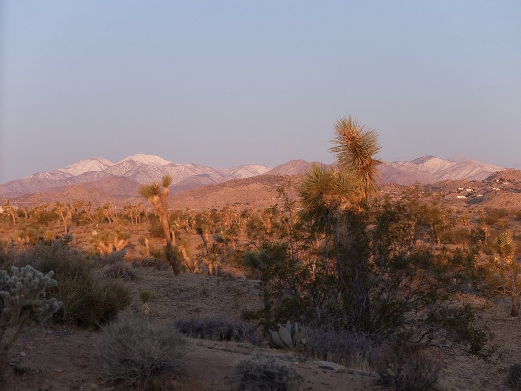
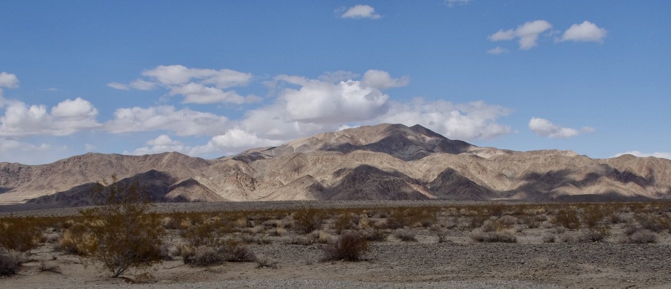
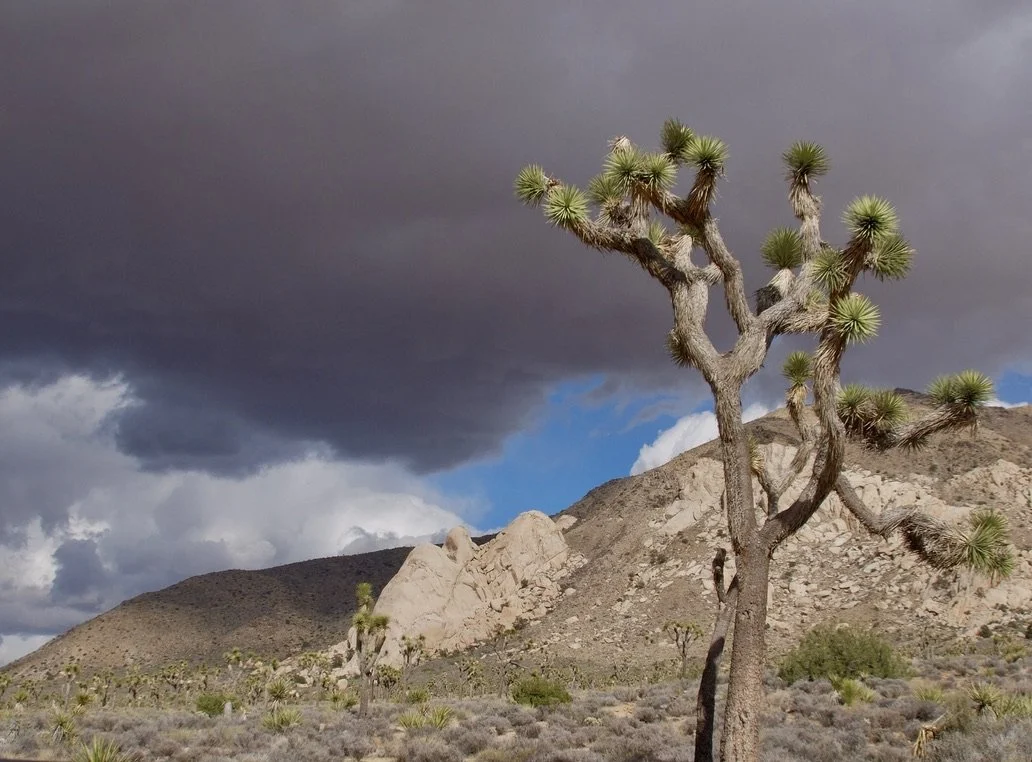
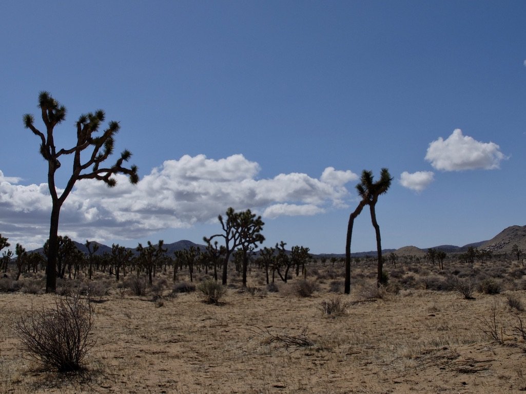
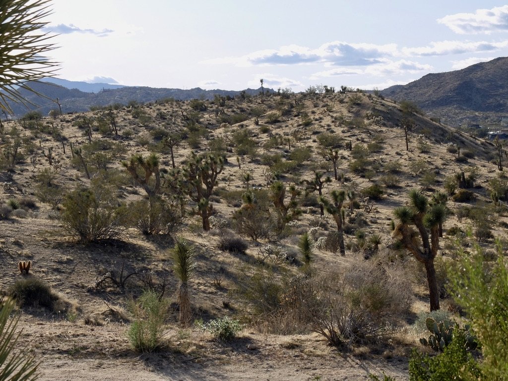
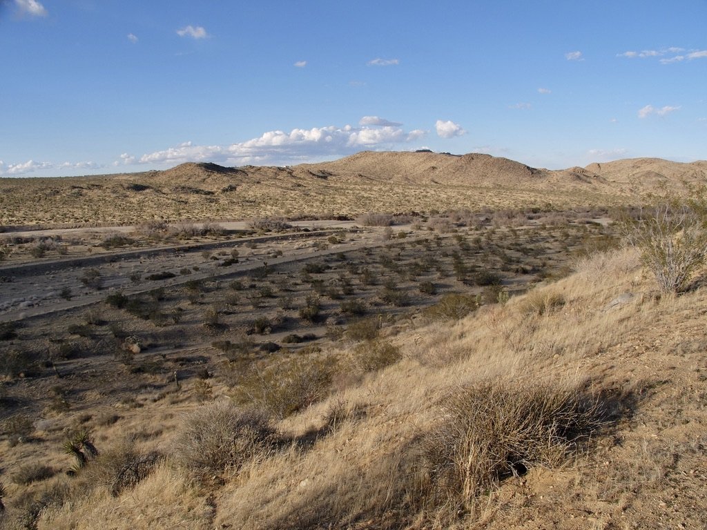
Hexie Mountains seen along Pinto Basin Road.
Later on this road we drove through Fried Liver Wash.
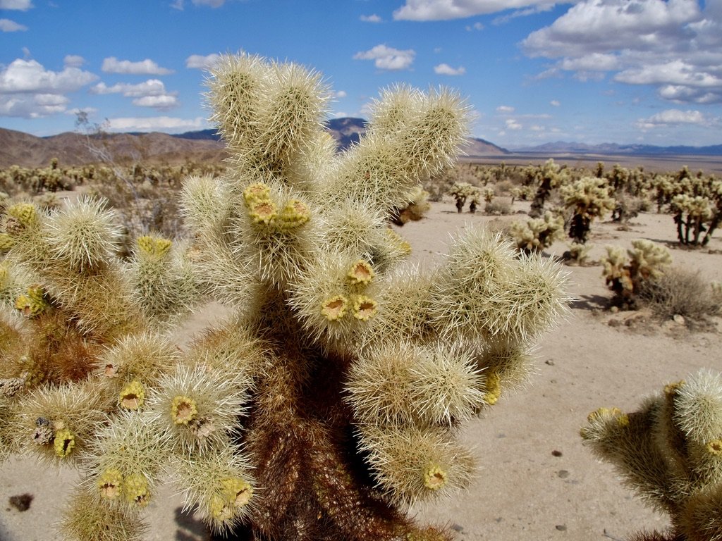
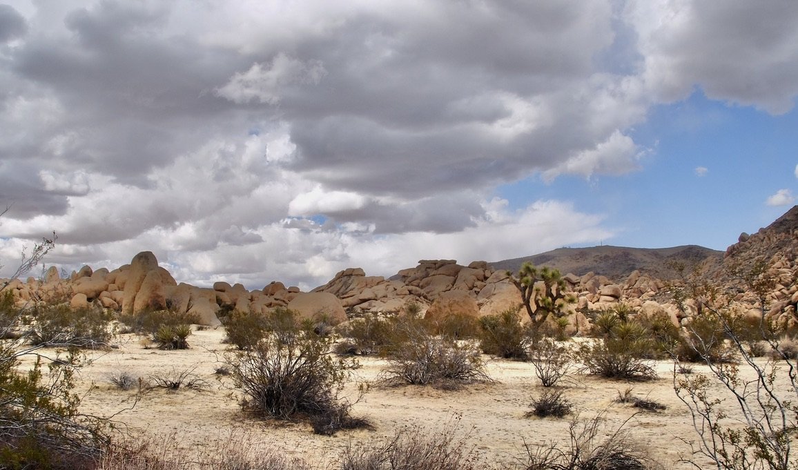
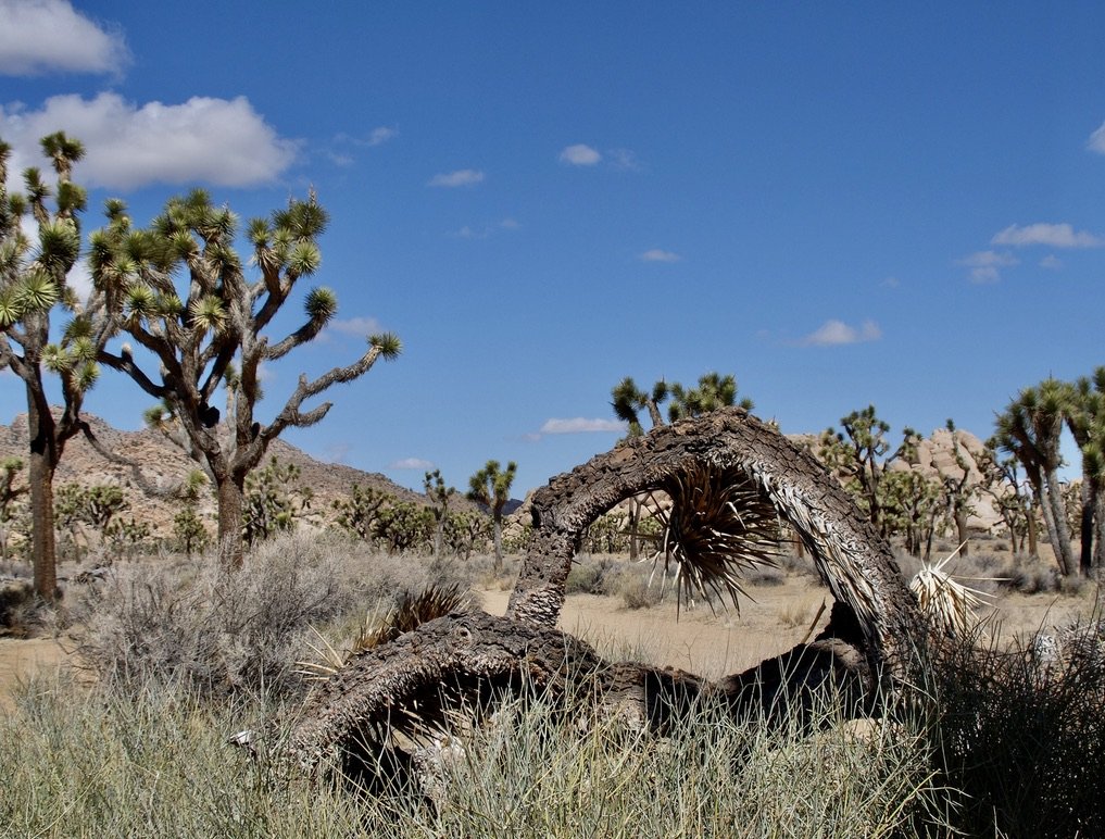
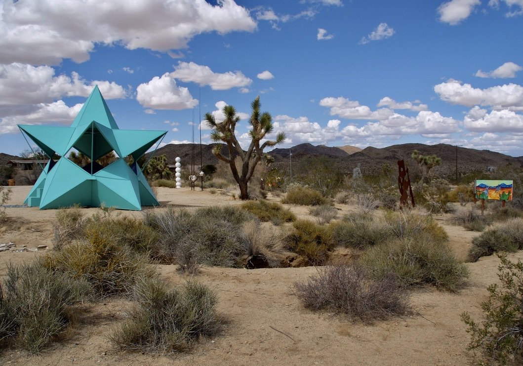
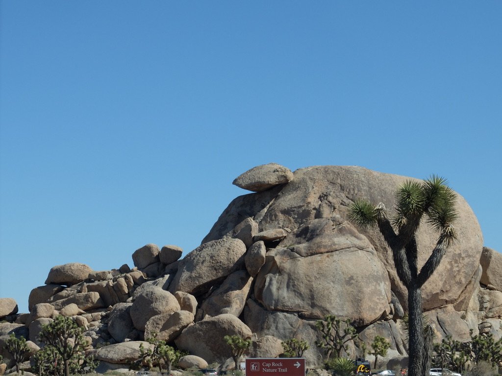
Along the Pinto Basin Road, the Cholla Gardens were closed but not fenced off & folks were wandering in. “This dense collection of ‘teddy bear’ cholla cacti is one of the park's most unique landscapes. At sunrise and sunset, the spines of the cacti glow, creating a magical and surreal experience."
The Minerva Hoyt Trail hike. “Though initially thwarted, in 1936, she (Minerva Hamilton Hoyt) gained support by the administration of President Franklin D. Roosevelt,...
“As part of the Desert Protection Bill, Joshua Tree National Monument was elevated to National Park status on October 31, 1994. The bill also added 234,000 acres. The new park boundary follows natural features and includes complete ecological units such as entire mountain ranges…
…The additions provide better resource protection with easier boundary identification and monitoring and important habitat for desert bighorn sheep. Elevations in the park range from a low of 536 feet to a high of 5,814 feet at Quail Mountain.”
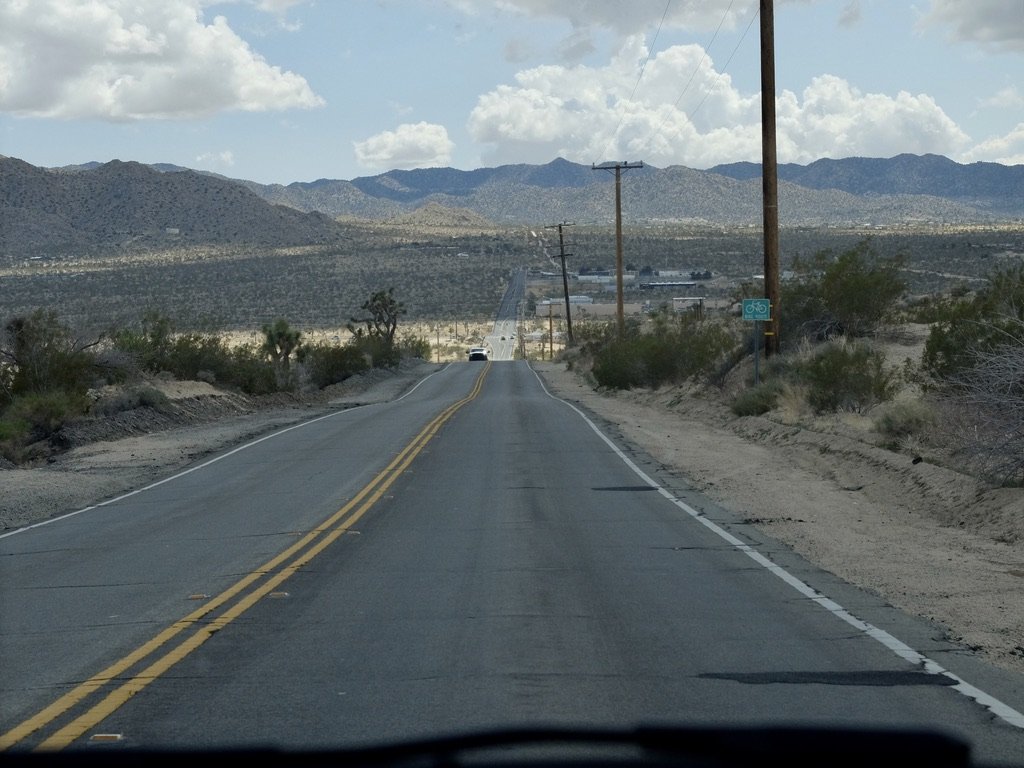
Approaching the North Exit Station of JTNP on Park Blvd.
In the distance the city of 29 Palms, Copper Mountain & the Marine Corps Air Ground Combat Center 29 Palms.
On CA 62, Twentynine Palms Hwy., Joshua Tree.
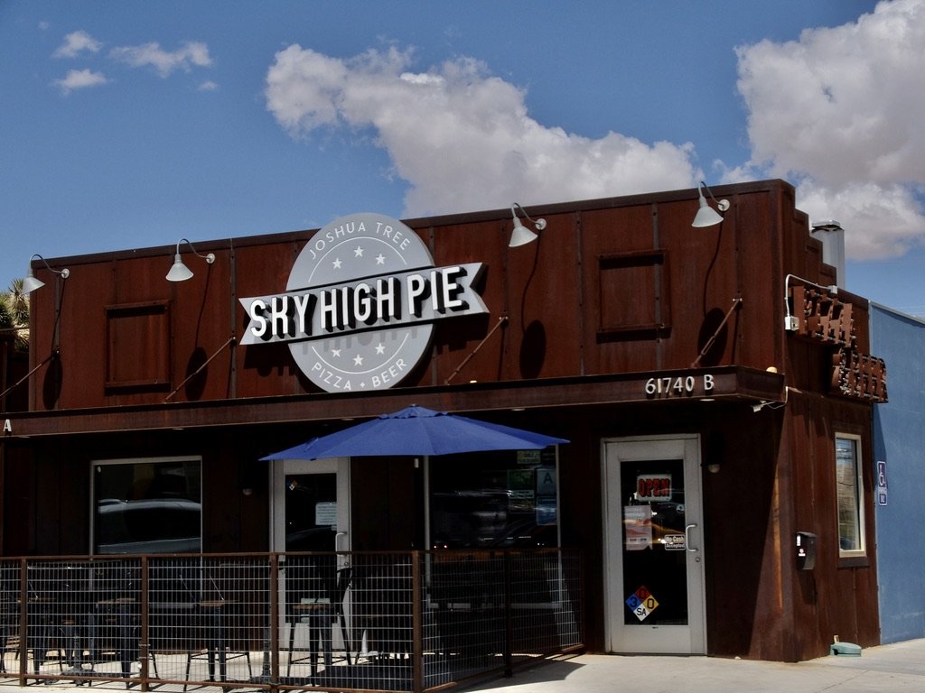
We took a salad & an especially delicious pizza back to the bungalow for dinner. It was also dinner the following night.
CA-247 N/Old Woman Springs Rd in Yucca Valley approaching Flamingo Hts.
Yes, not much around here. On a nice day it’s a pretty & reasonable drive from Palm Springs to come here for lunch.
Bighorn Mountain Wilderness to the left.
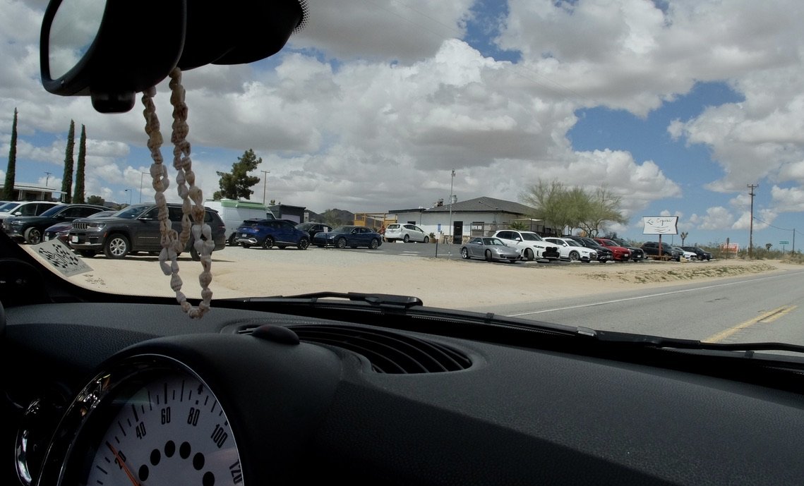
La Copine, Old Woman Springs Rd., Flamingo Hts., in Yucca Valley in the middle of nowhere. It was recommended to us by an Old Spokes bike riding buddy.
Eater 38 Essential Restaurants of California A Brief History:
"La Copine began on a food cart in Philadelphia, Pennsylvania in 2010. Friend and artist, Kris Chau drew the La Copine logo in her journal over blood orange margaritas at a South Philly cantina. The two owners moved to CA in 2012 so they could legally get married and in 2015 Nikki & Claire tied the knot. An invitation to house sit in Pioneertown from a beautiful stranger would change the course of their lives …It was free to get in to Joshua Tree National Park on Earth Day and a double rainbow appeared signaling the newlyweds to go explore. A fateful meeting at the Integratron further changed the course of N&C's life. They were given a tip about a restaurant for sale nearby and the desperate need for places to eat in the desert. Sitting outside the chain link fence that used to surround the property Nikki & Claire called their bosses to put in their notice. Without a plan, or a place to live, they took a giant leap of faith. And the rest is herstory..."
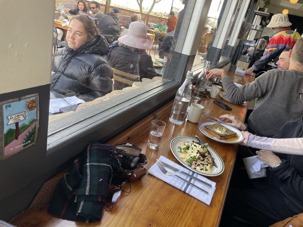
I had read the menu on line when Tim told me about La Copine & dreamed of ordering this; “Eggs Atlantic hot not spicey smoked ‘kippered’ salmon, housemade english muffin, poached egg, hollandaise, sorrel, fried capers ~vegetarian sub rosso bruno tomatoes.
Our seats were great for eavesdropping, people watching & watching the food served to other patrons.
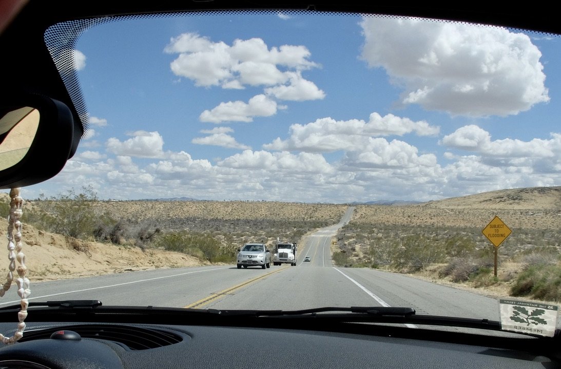
CA-247 S/Old Woman Springs Rd. in Yucca Valley - "SUBJECT TO FLOODING" We saw many of these signs. One wash had a follow-up sign that said not to turn back if flooded.
CA-247 N/Old Woman Springs Rd in Yucca Valley approaching Buena VIsta Drive. I don't think I'd feel safe bicycling up or down this road.
In the distance, the San Bernadino Mountains in JTNP.
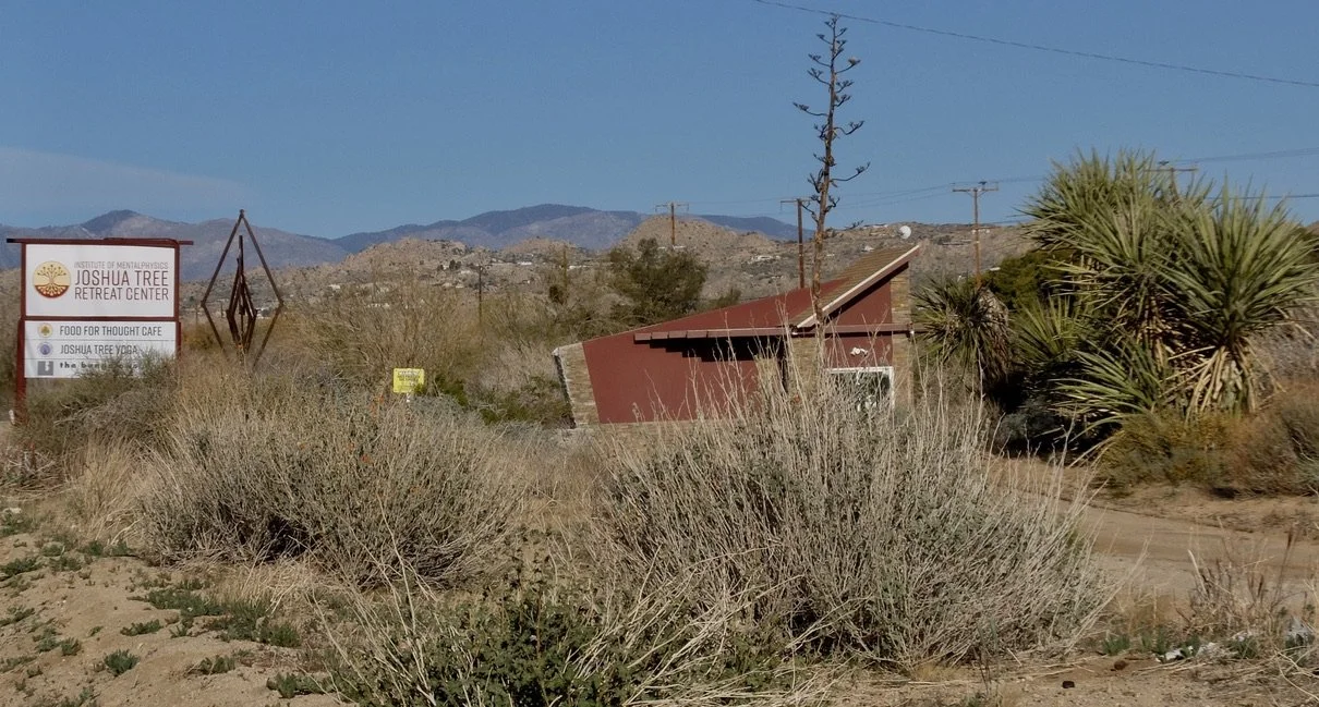
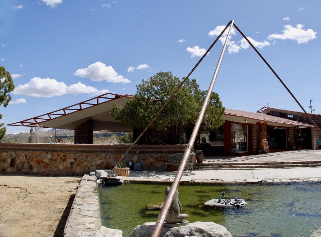
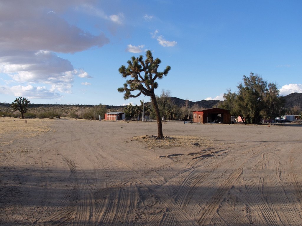
Institute of Mentalphysics Joshua Retreat Center & The Bungalows by Homestead Modern. Joshua Tree, CA Entrance from HWY 62 "Breathe Your Way to Youth, Health, and Vitality with the original 'Breath of Life' teachings of Edwin J. Dingle (Ding Le Mei). MENTALPHYSICS Offers a Wholistic Approach to Spiritual Development."
Joshua Tree Retreat Center – Institute of Mentalphysics.
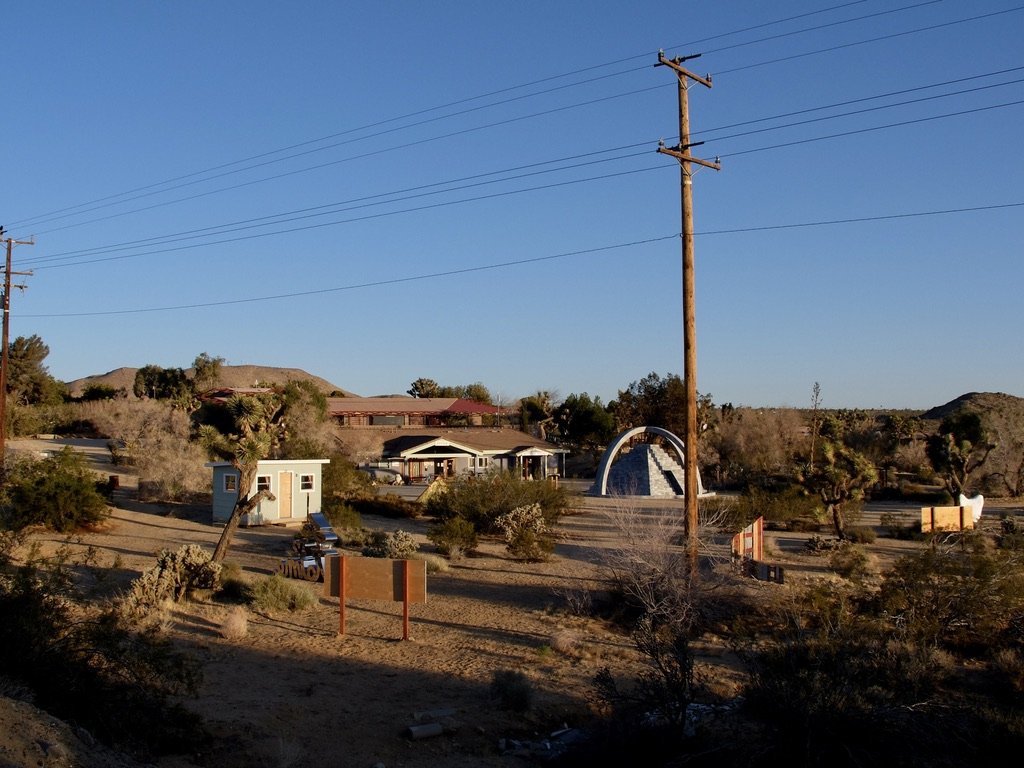
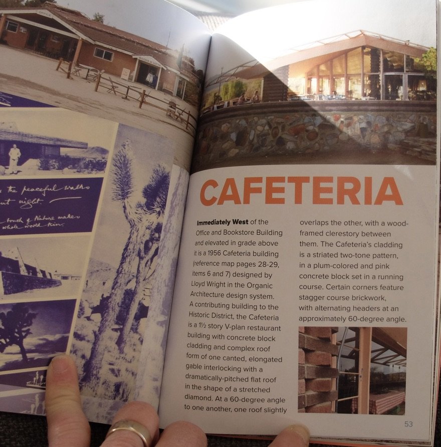
The building in the center is the Ding Le Mei House. Above it is the Caravansary building. Both were designed by Lloyd Wright. Frank Lloyd Wright was given the project but passed it along to his son Lloyd who worked on it for eleven years.
“On January 19th 2023, The Institute of Mentalphysics The Joshua Tree Retreat Center…has been listed on the National Register of Historic Places (NRHP) as a historic district.”
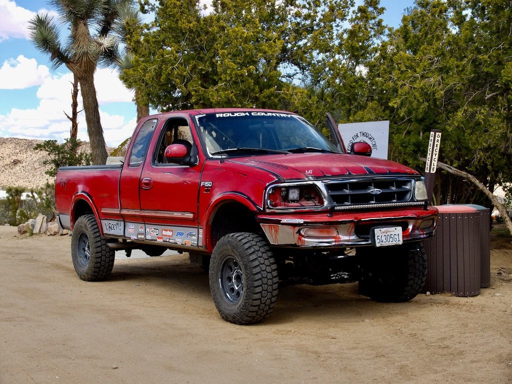
“Rough Country”
Joshua Tree Retreat Center – Institute of Mentalphysics.
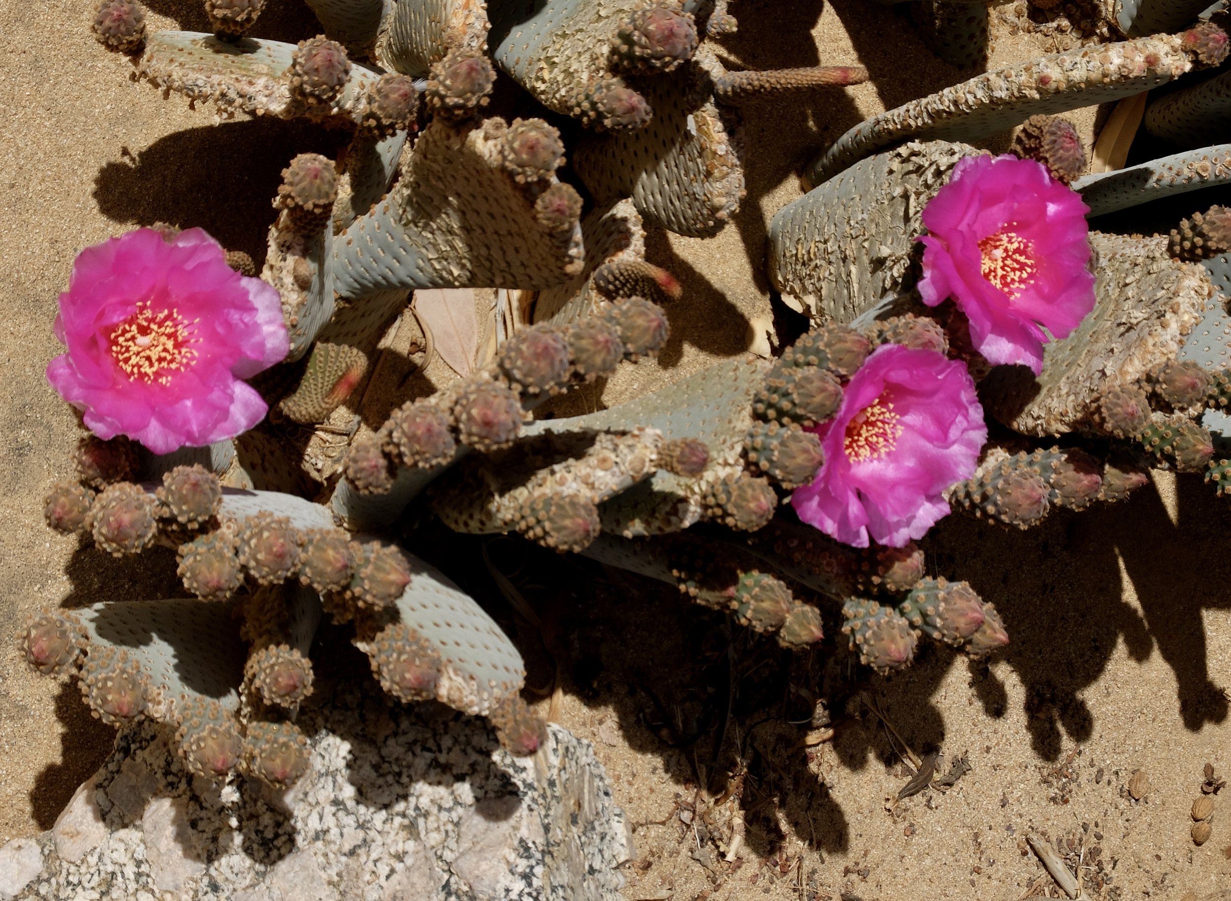
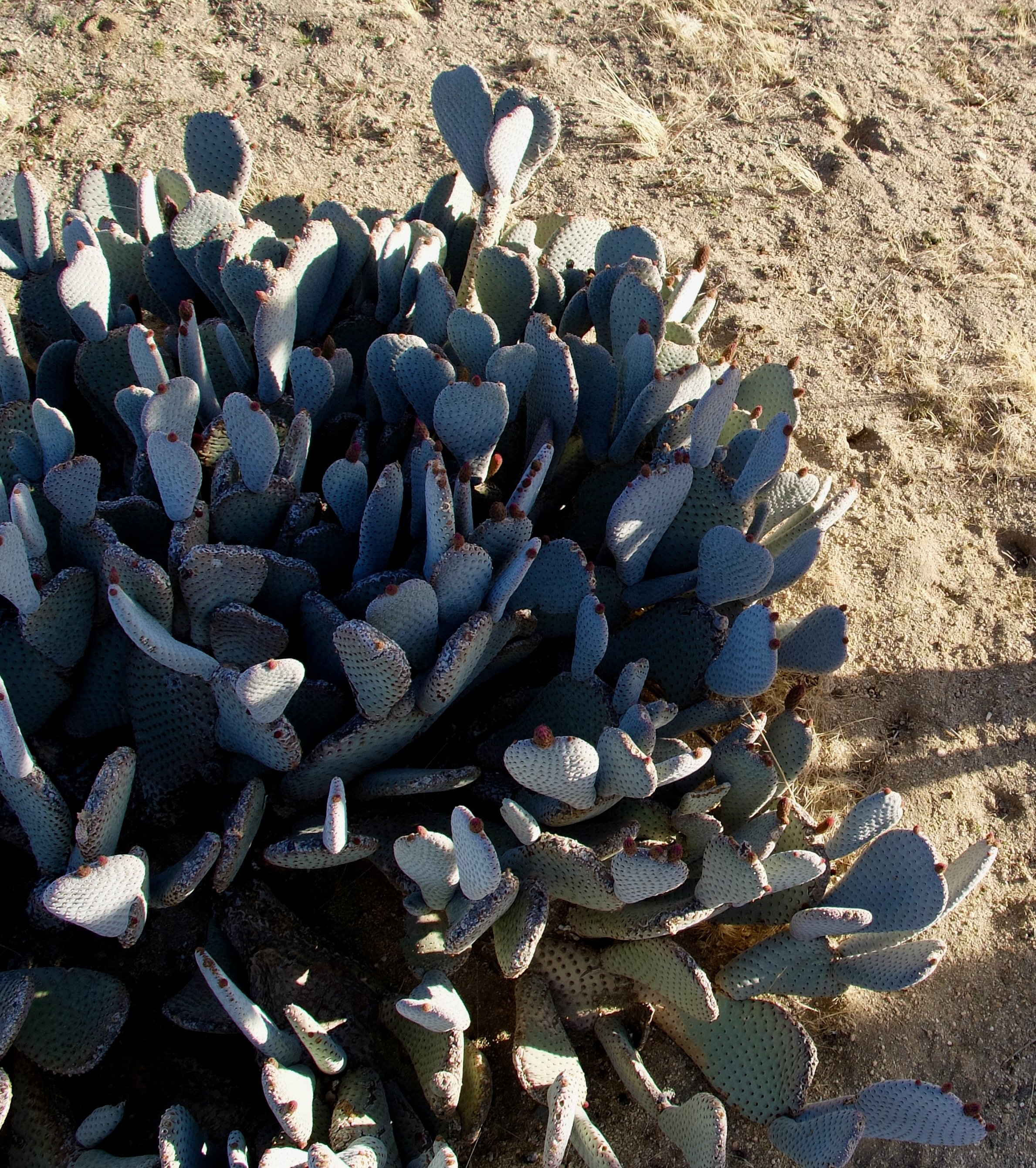
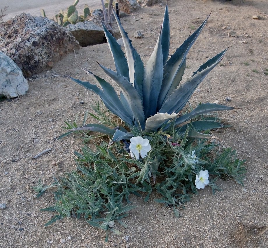
Beaver tail cactus in bloom.
Joshua Tree Retreat Center – Institute of Mentalphysics.
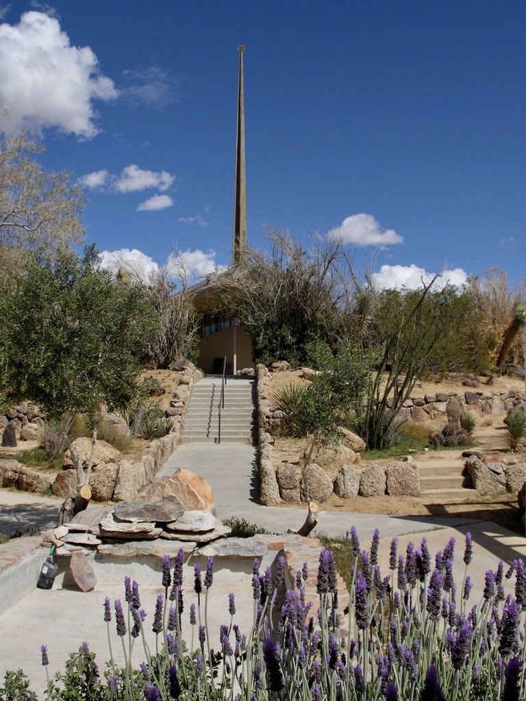
Sanctuary seen from the Edwin John Dingle (Ding Le Mei) Memorial.
Joshua Tree Retreat Center – Institute of Mentalphysics.
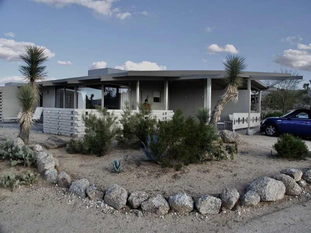
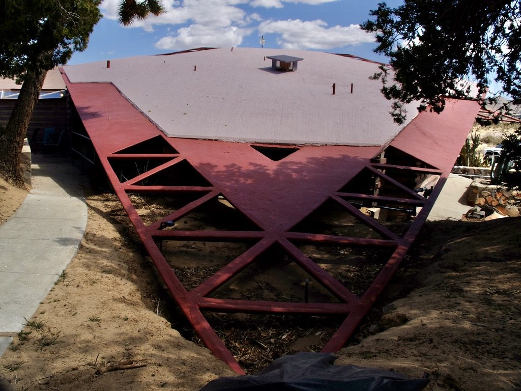
View of our ca. 1960 Homestead Modern Bungalow. "While much of the campus was done by Wright, the Bungalows were built later, by another mid-century master…
…Harold Zook designed his post-and-beam buildings with a premium on effortless circulation between inside and out." "Brad Dunning’s historic restoration expertise helped guide the revitalization of the bungalows." https://magazine.tablethotels.com/en/2023/03/desert-rose/
Noble Hall seats 150 people - Institute of Mentalphysics Joshua Retreat Center.
This particular evening at sunset, sounds of a drum circle were emanating from the hall.
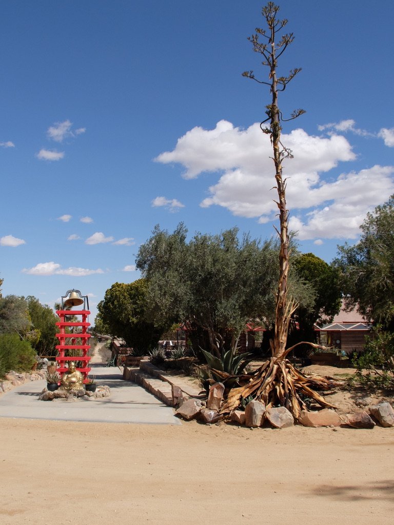
Behind the Buddha is the Silk Road Walking Path. I rang that bell every time I walked by it.
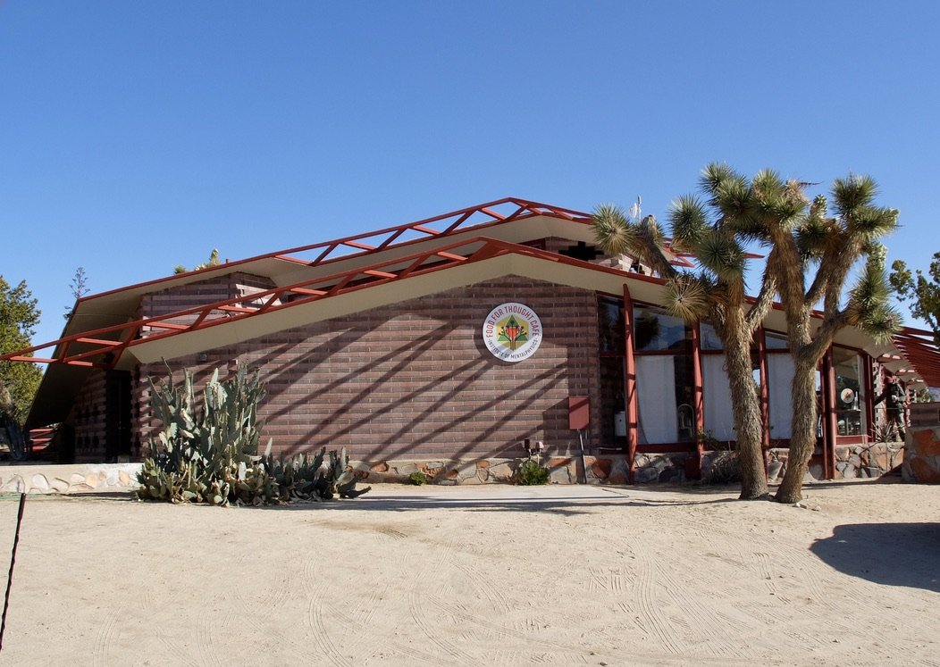
Joshua Retreat Center - A ca. 1956 "Ridge Cottage" designed by Lloyd Wright in the Organic Architecture style. "Organic architecture is a type of architectural design which came to prominence in the mid-20th Century wherein buildings are inspired by, built by, built around, and blend in with their natural surroundings...
...Elements include indoor/ outdoor living, the use of local materials and siting of buildings into the existing landscape. The term organic architecture was coined by Lloyd Wright's father Frank Lloyd Wright."
A sunset walk in the Coyote Valley below The Bungalows.
This looks like perfect Off-Highway Vehicle (OHV) territory although we encountered none.
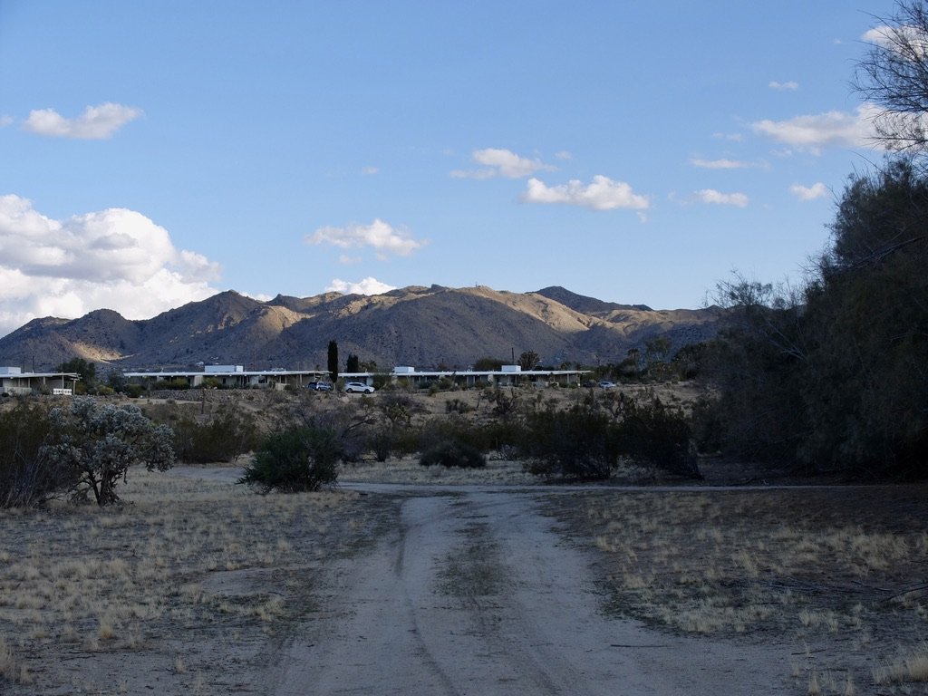
The Bungalows seen from the Coyote Valley with the San Bernadino Mountains in JTNP.
The Farm & Folk School of The Institute of Mentalphysics Joshua Retreat Center.
A walk up Om Hill, directly across from our bungalow, led to these views.
View from Om Hill of The Bungalows by Homestead Modern & Institute of Mentalphysics Joshua Retreat Center with the San Bernadino Mountains of Joshua Tree Nat’l Park in the distance.
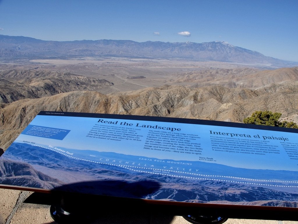
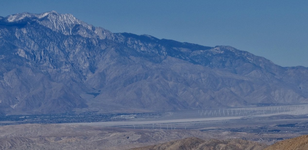
From 5,185’ Keys View in the San Bernardino Mountains of JTNP. Straight ahead under the Indio HIlls is Palm Springs.
Palm Springs & the wind turbines that provide power.
The descent from Keys View.
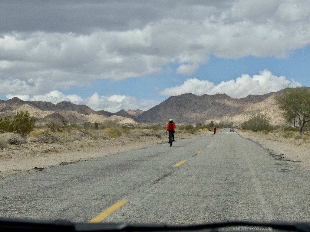
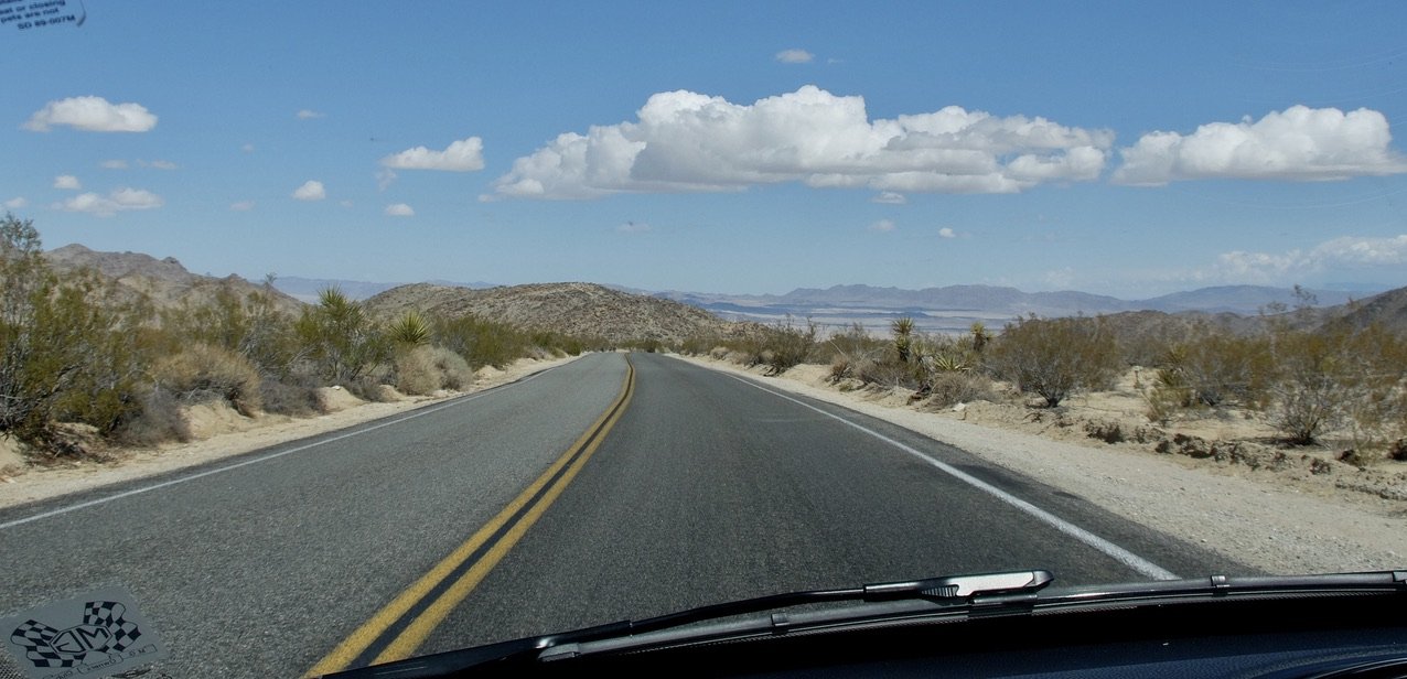
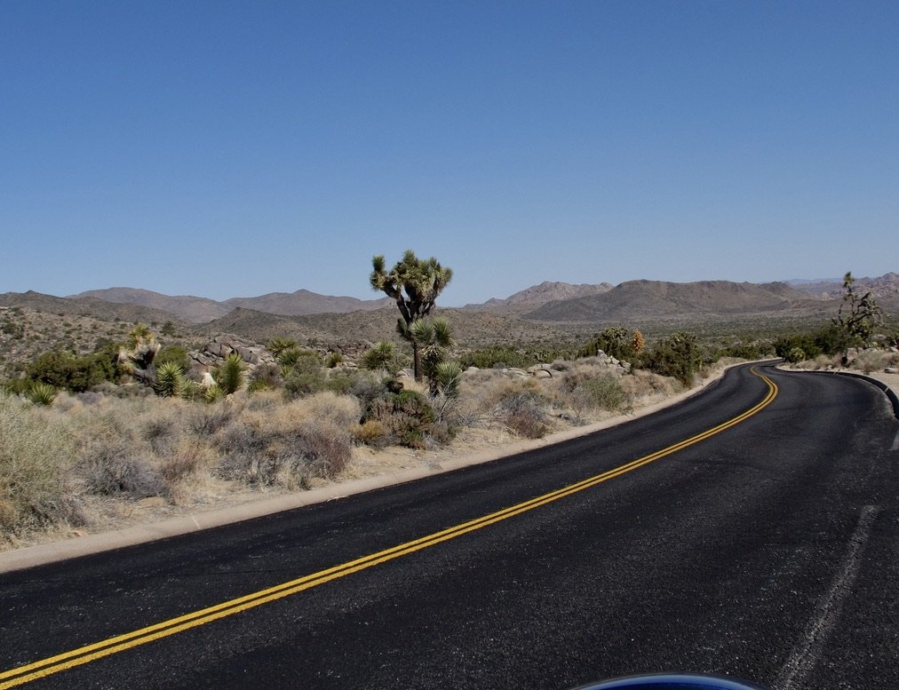
The roads in the park were smooth & exquisite to drive on in the MINI roadster with the top down.
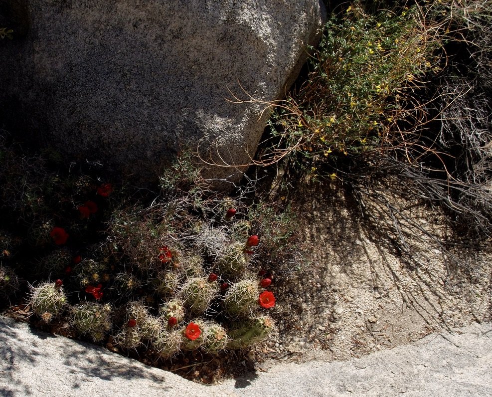
Hedgehog Cactus in bloom.
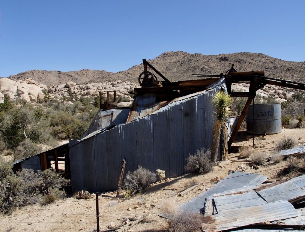
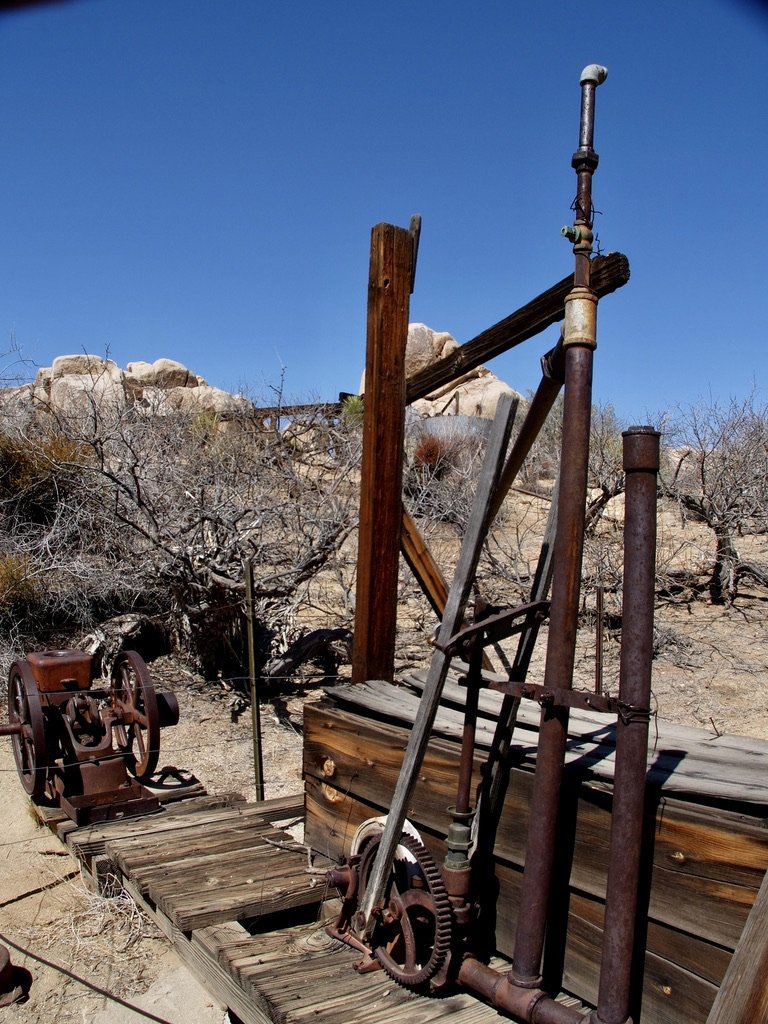
Wall Street Mill Trail, J.T.N.P.
Wall Street Mill ca. the 1930’s.
Built by local rancher Bill Keys “This two stamp gold ore crushing mill is one of the last remaining mills in the park, with operations up until the mid-1900s.”
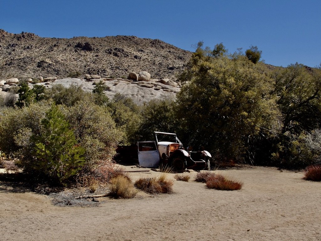
Wall Street Mill employee of the month parking.
Our, albeit short, off road experience.
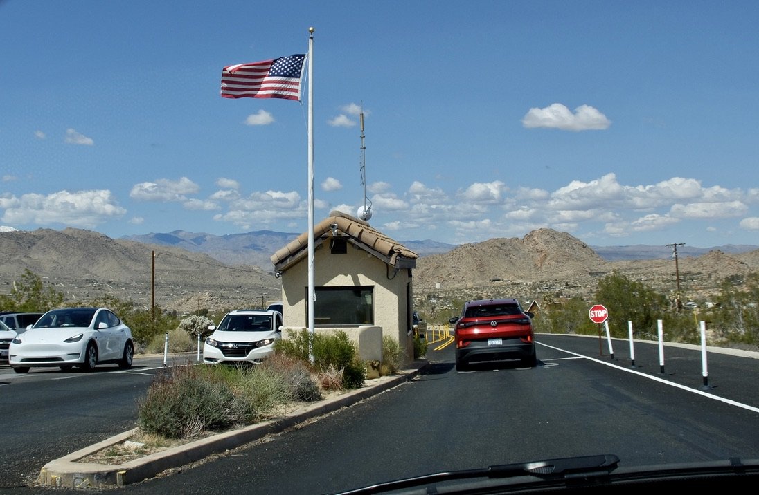
Departing J.T.N.P.’s West Entrance Station.
This is the busiest entrance point to the park. It was to be closed the week we left to build a second booth to accommodate this summer’s & future crowds.
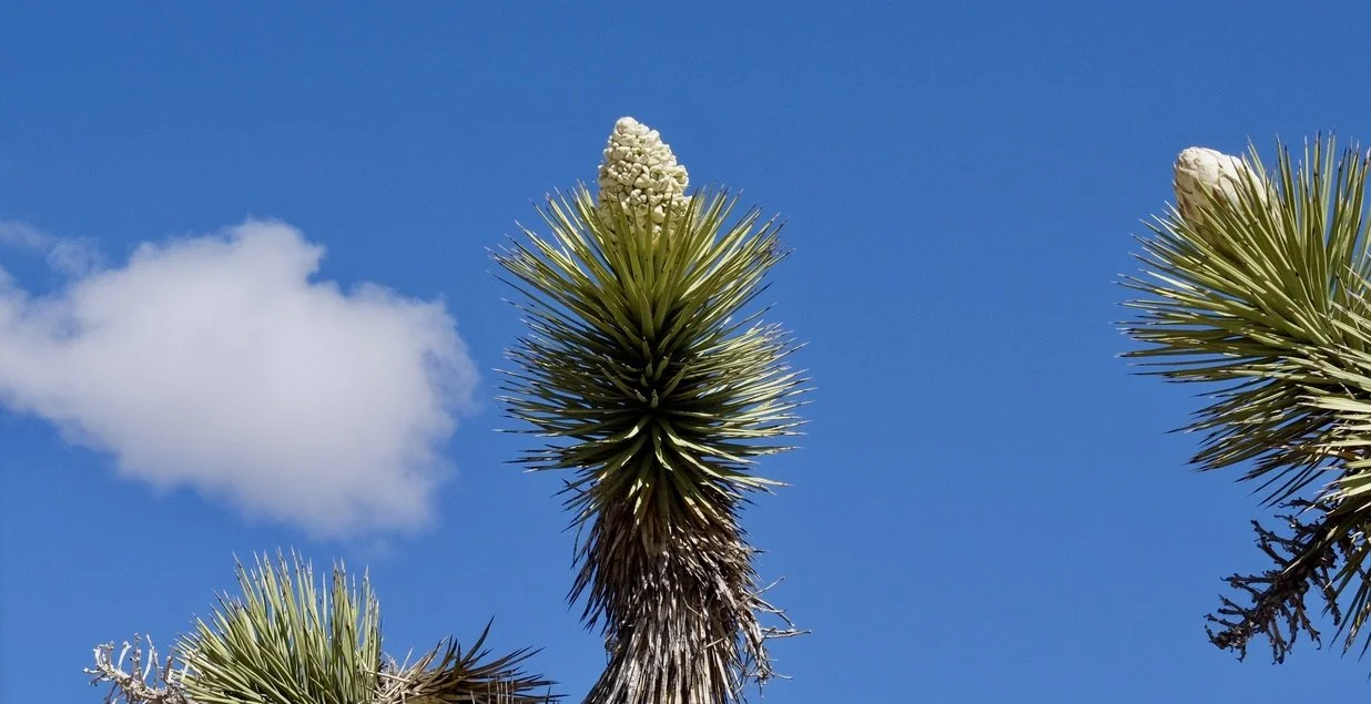
Mojave yucca bloom at sunset .
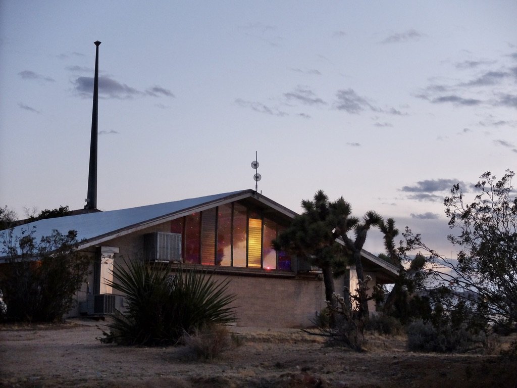
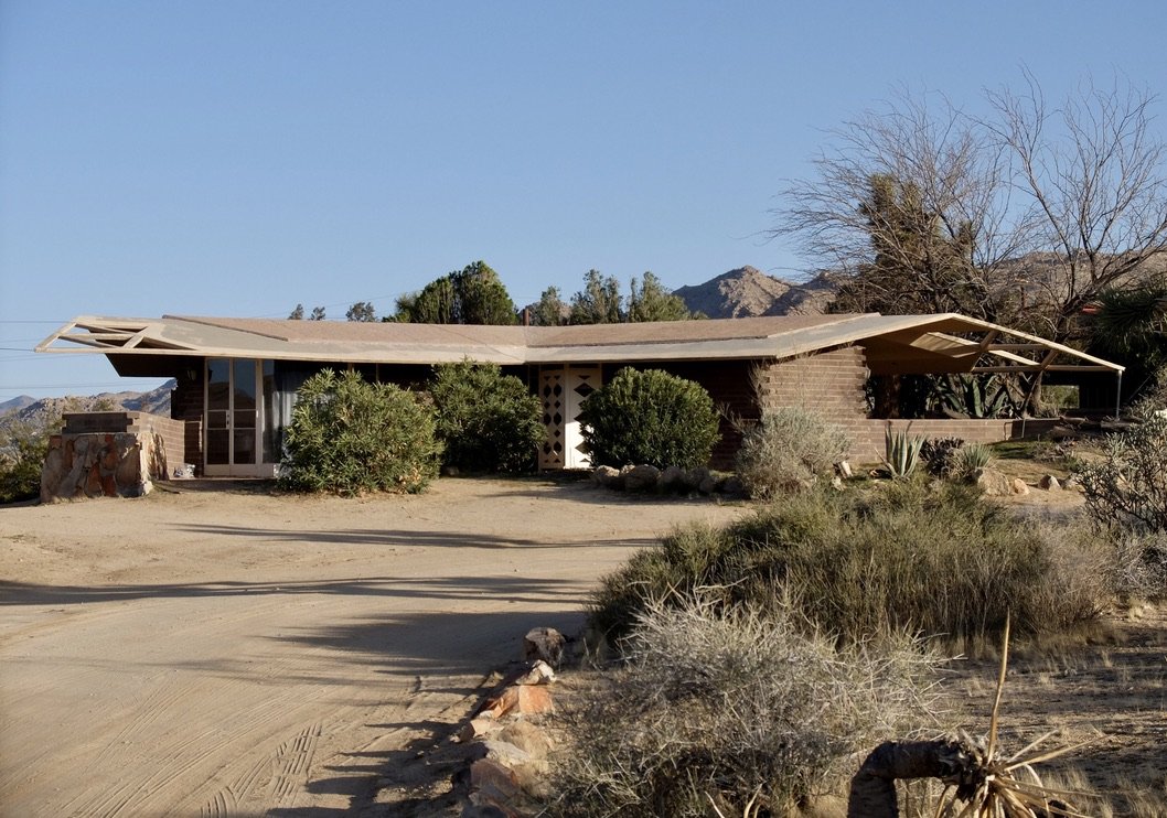
The Bungalows by Homestead Modern
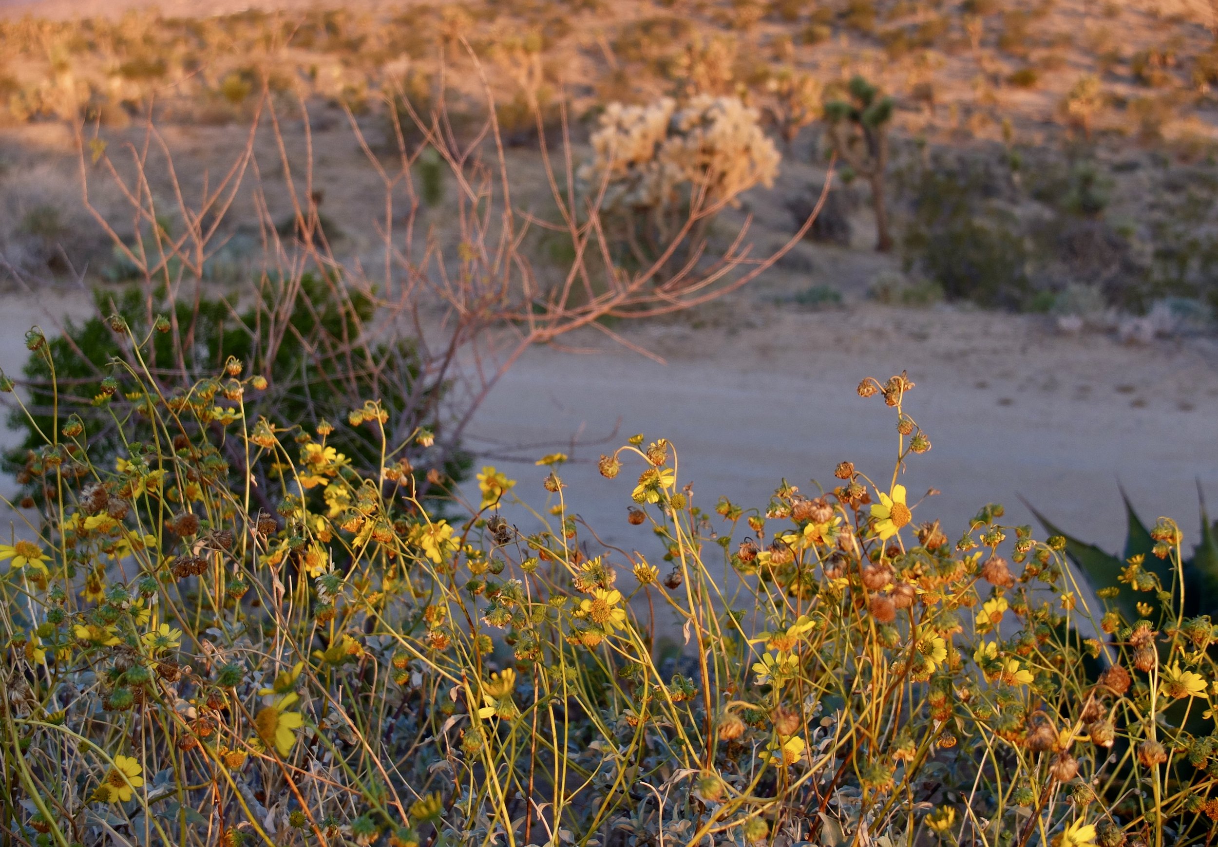
Desert lily at sunset.
The Bungalows by Homestead Modern.
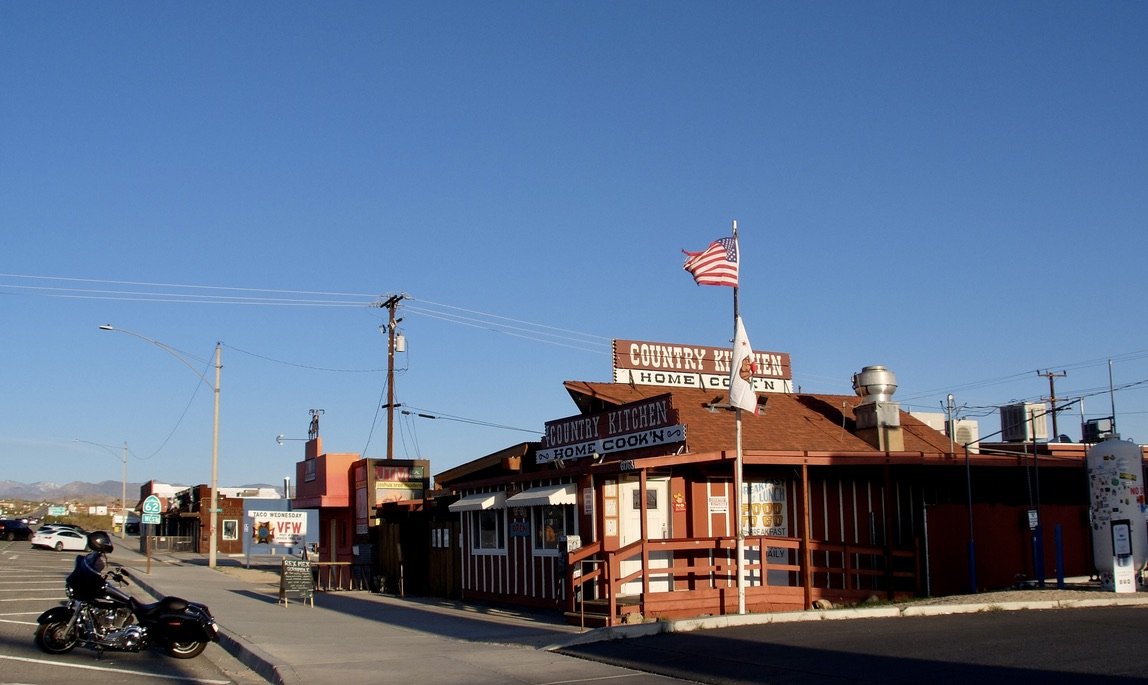
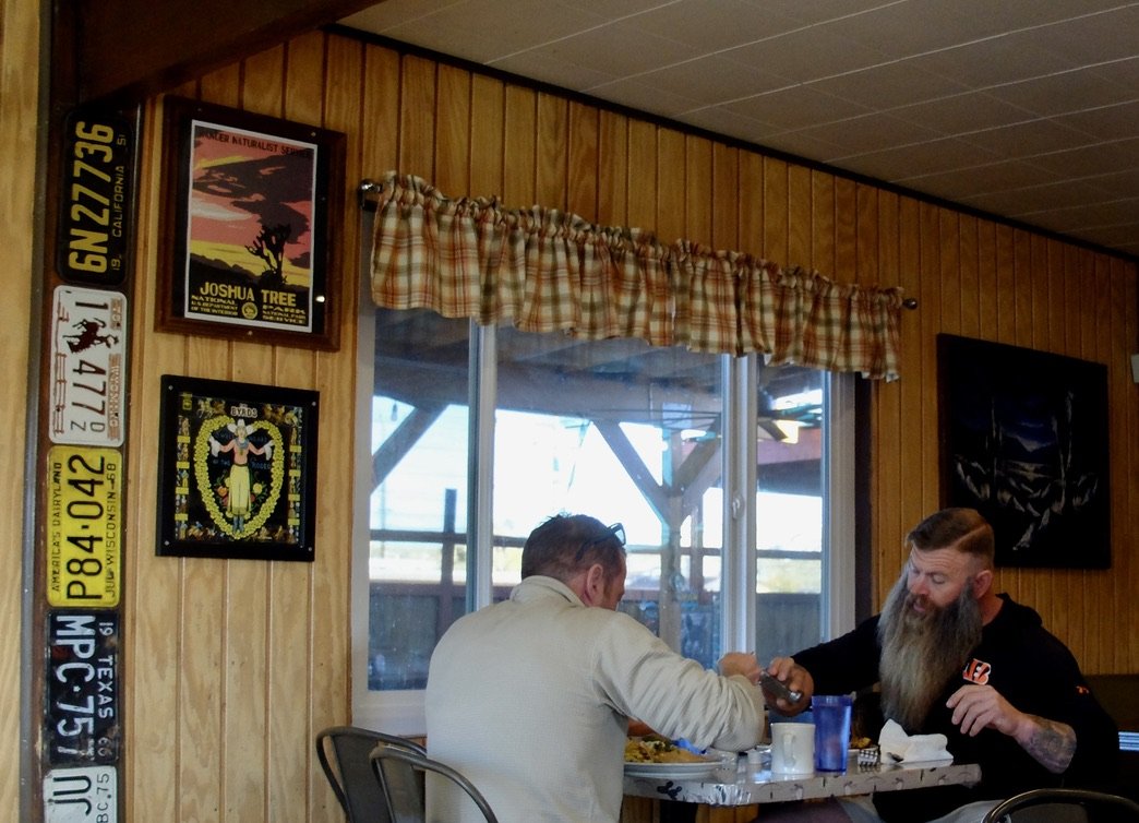
JT Country Kitchen 29 Palms Hwy, Joshua Tree since 1977 in the ca. 1949 building.
JT Country Kitchen.
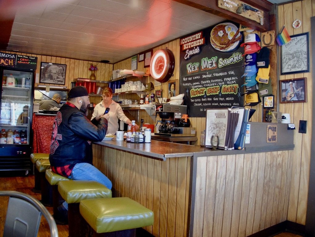
Note the "Complaint Dept." upper right.
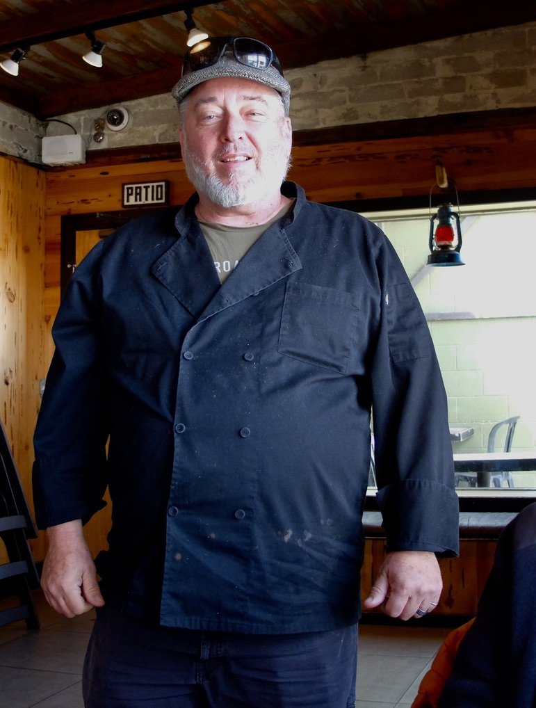
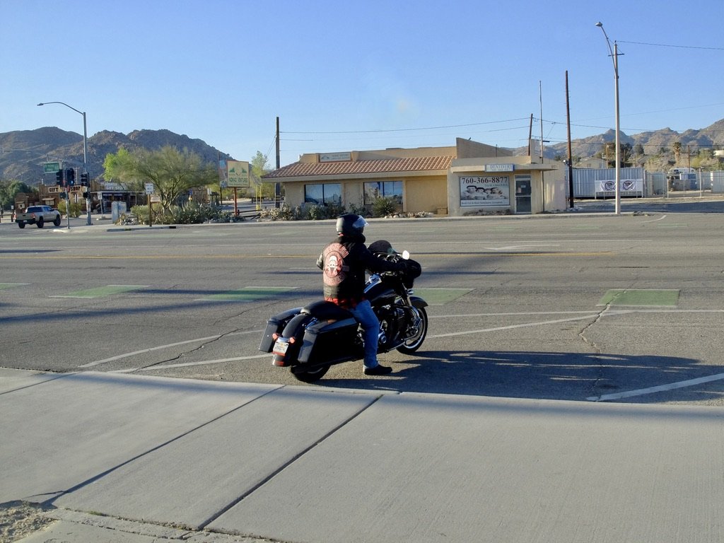
We’ll see more of this patron later.
JT Country Kitchen.
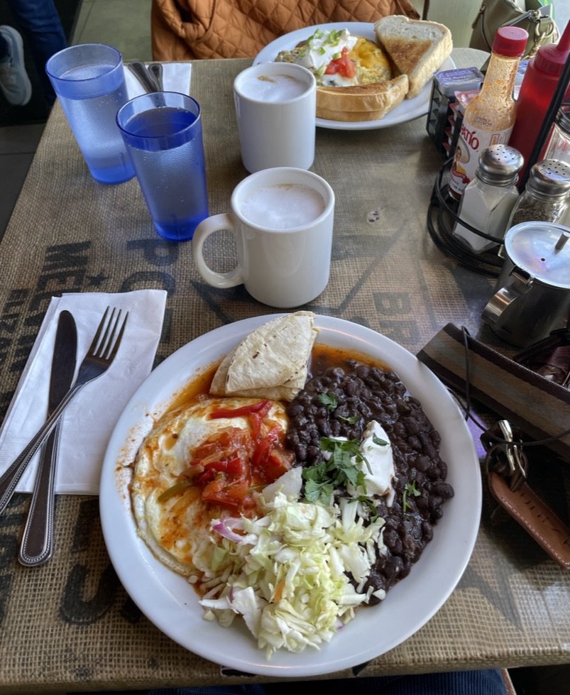
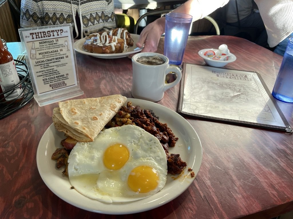
Country Breakfast w/ soyrizo & Cinnamon Swirl French Toast dipped in vanilla-cinnamon butter.
JT Country Kitchen.
They were discussing business.
Note the framed Byrds album "Sweetheart of the Rodeo."
And there he goes. Outside JT Country Kitchen.
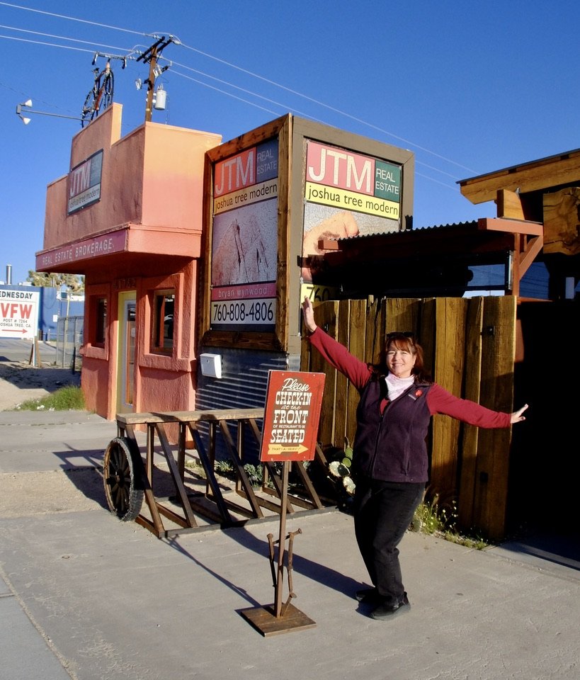
Through the window of the JT Country Kitchen, I had seen Tracy dancing as she put up that sign. She was happy to dance for the photograph.
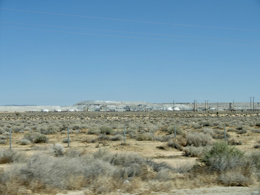
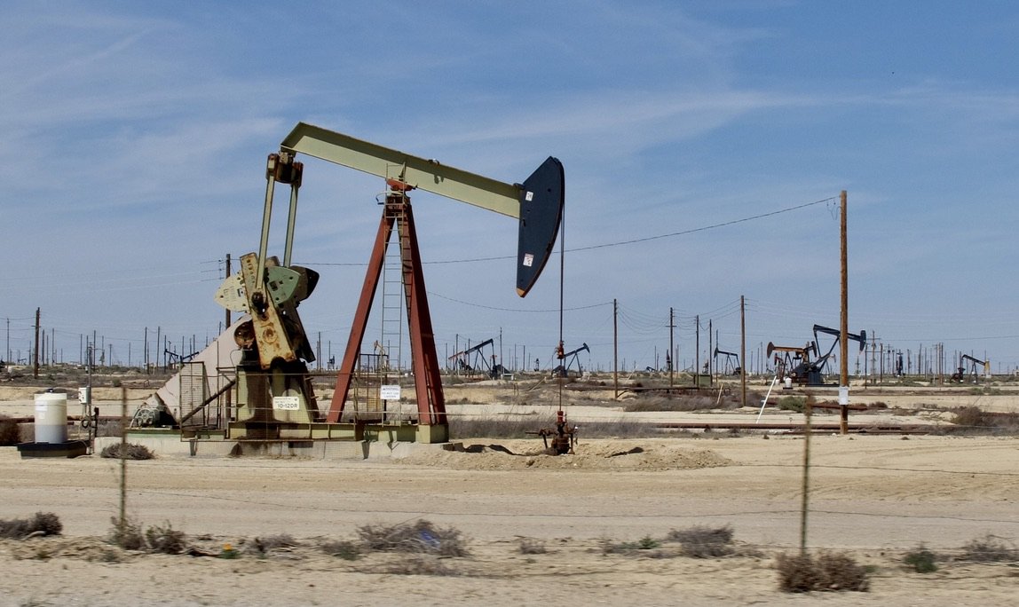
CA 58 U.S. Borax operates California’s largest open pit mine in Boron, California.
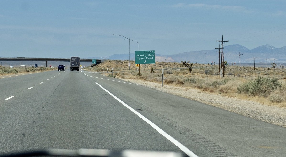
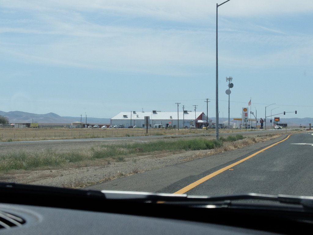
Twenty Mule Team Road turn off from CA 58.
Another 20 miles or so is the turn-off for Edwards Air Force Base where space shuttles have landed.
Fluffy's Kitchen, now permanently closed, was nearby.
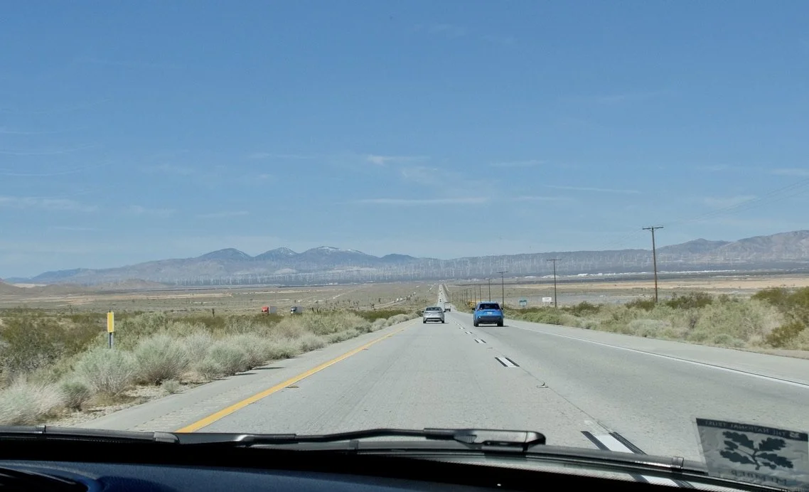
Wow, that’s a lot of wind turbines up ahead.
“For over 30 years, the mountains and foothills surrounding Mojave are home to wind farms generating electricity for Southern California.
Known as the Tehachapi-Mojave Wind Resource Area, the area is considered one of the premier places in the nation for wind power and plays an important part in enabling the state attain its renewable energy goals.”
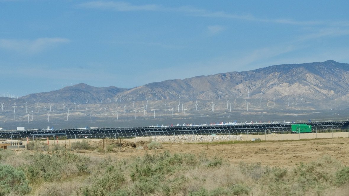
Solar power too.
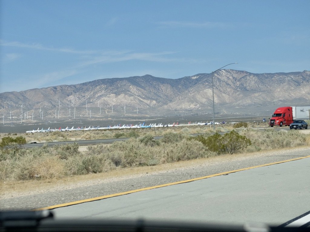
And look, peeking out, airplanes.
MTM | The Mojave Transportation Museum Foundation.
“…a museum to preserve Southern California aviation, railroad, automobile and animal transportation history and culture.” It was closed. I was disappointed.
And a red cab semi-trailer truck.
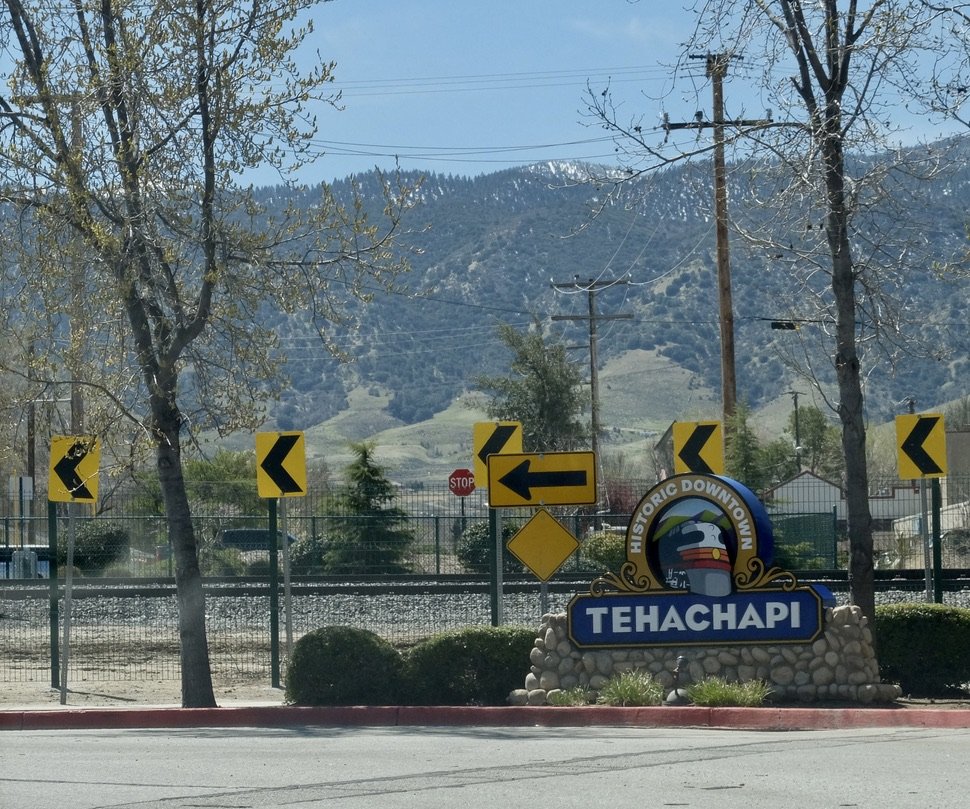
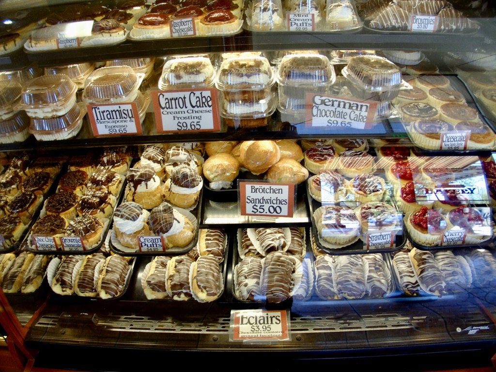
Kohnen's Country Bakery.
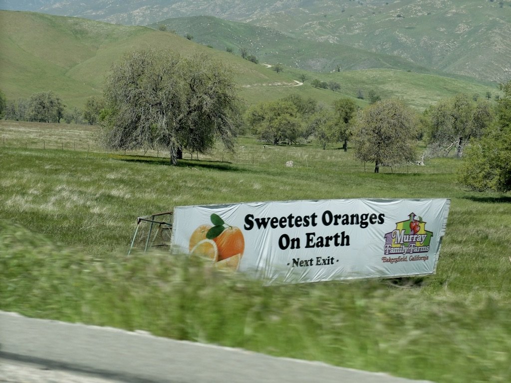
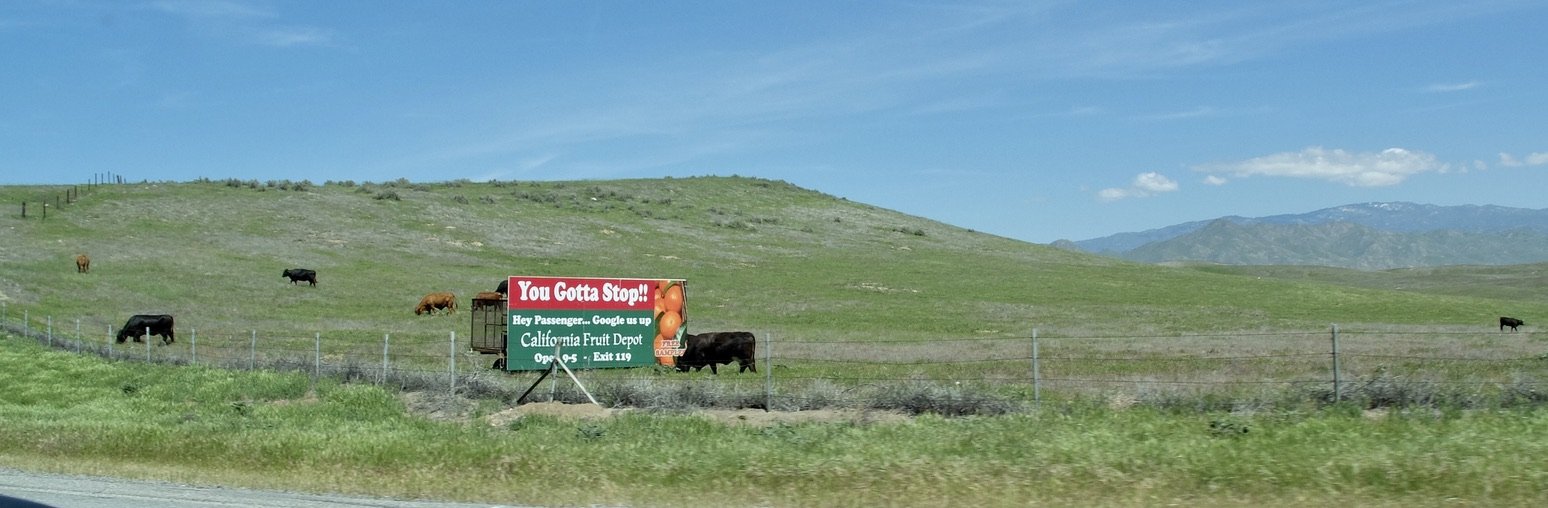
California Highway 46.
Oranges and...
In Europe, particularly France & even Morocco, traffic circles have a sculpture or diorama related to the area. Here there’s nothing on the traffic circle.
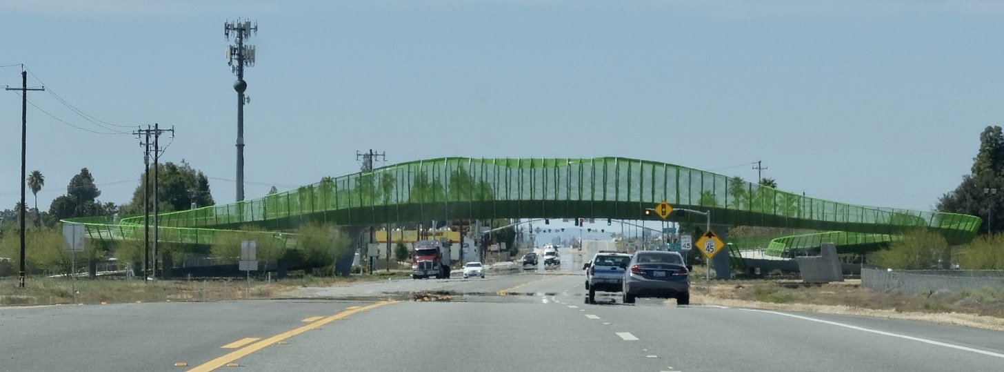
We went under this bridge going to JTNP & I was intrigued. This time I got a better photo & later did some research.
The ca. 2024 “WONDER BRIDGE in Lost Hills, California—a farming community in the Central Valley—an intensely green bridge with a twisted form that recalls the spiraling tail of a lizard extends across California Highway 46 (Paso Robles Hwy). SPF:architects design & funded by Stewart and Lynda Resnick—the family behind The Wonderful Company, the world’s biggest producers of pistachios and almonds...among the largest water users in the nation." https://www.archpaper.com/2024/06/spfarchitects-the-wonder-bridge-lost-hills-california/
“James Dean…was on his way to Salinas via Paso Robles for a race. Unfortunately, just 26 miles from Blackwells Corner, at the intersection of Highway 46 and 41, the legend met with a car crash, and passed away shortly after.”
?
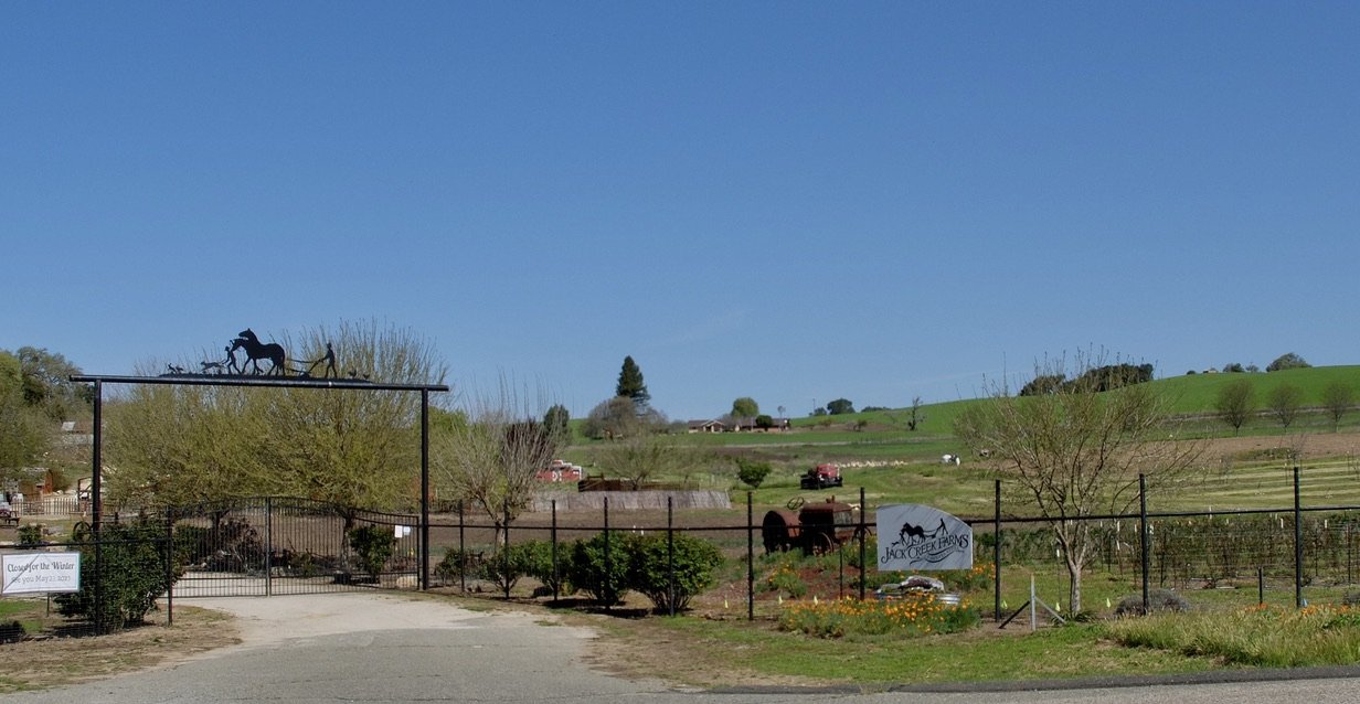
Somewhere along here Nomi noticed a sign for Over Budget Ranch.
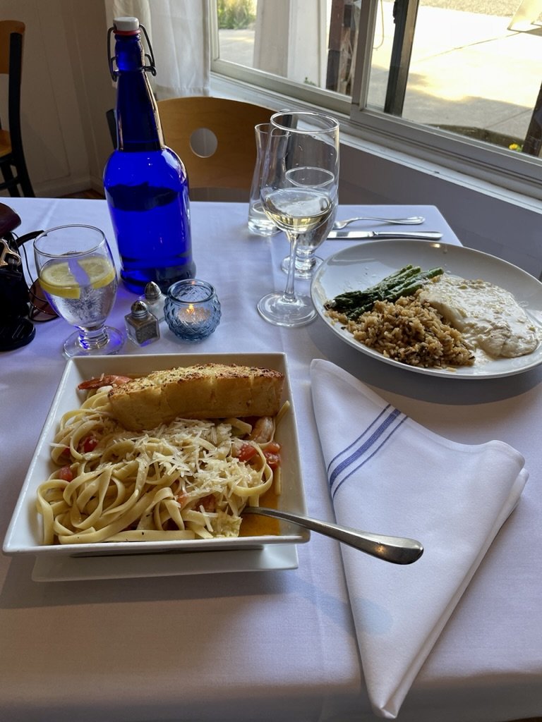
The hostess at our Cambria Lodgings told us about Indigo Moon. We were not disappointed.
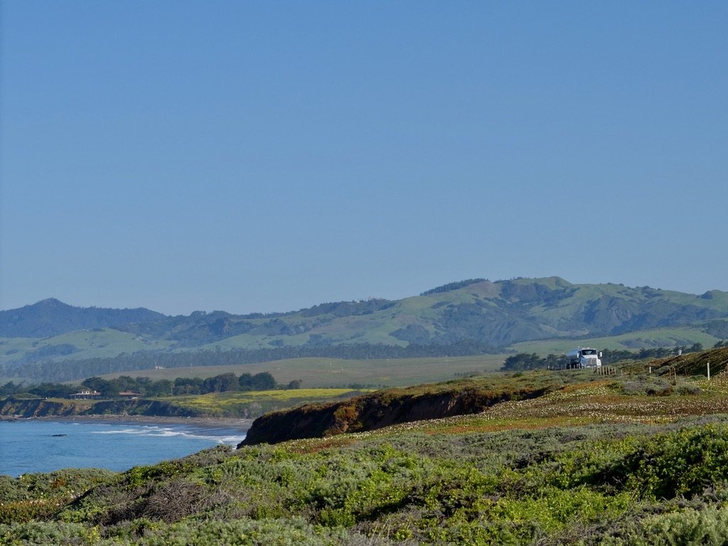
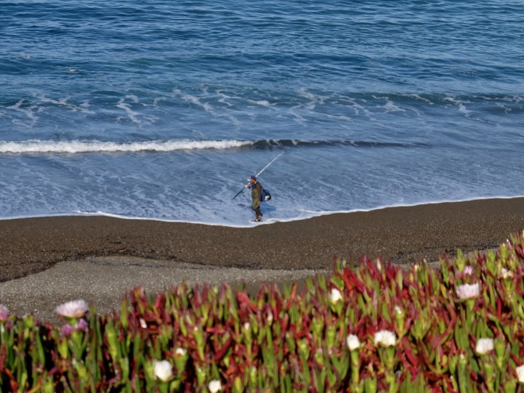
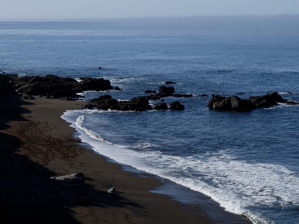
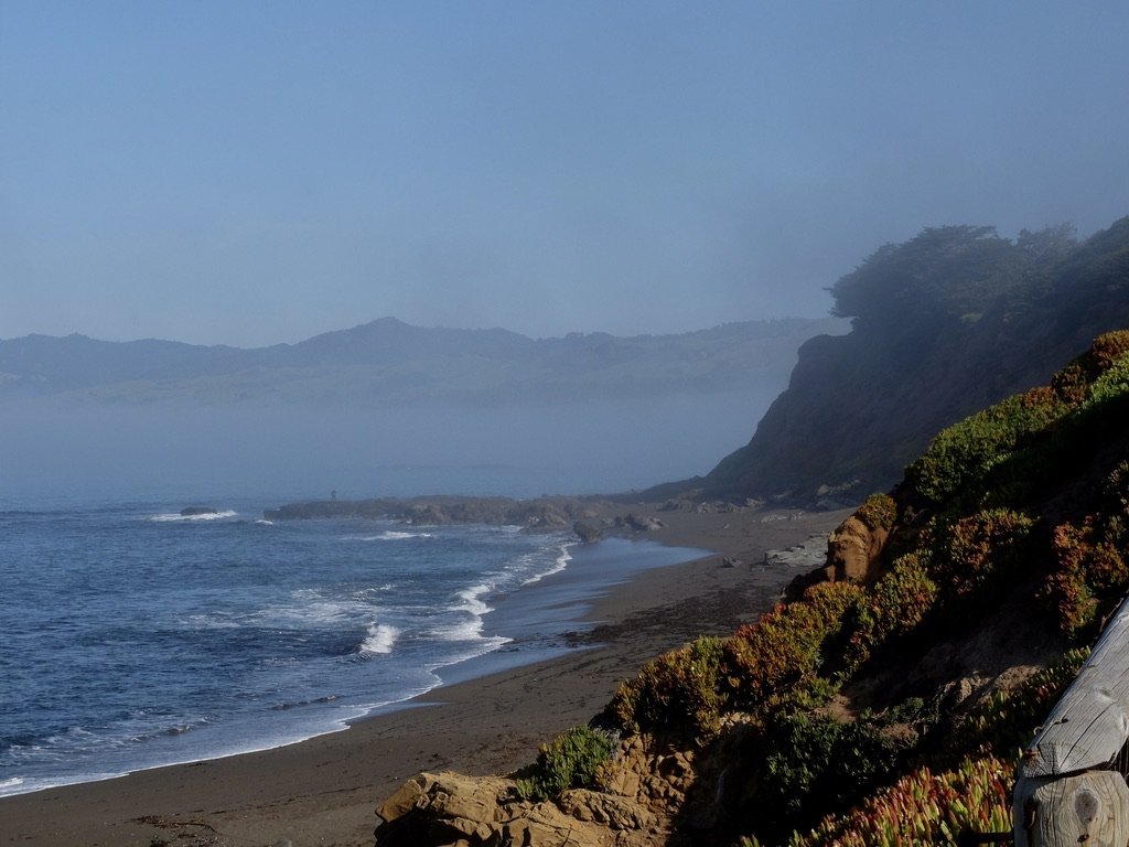
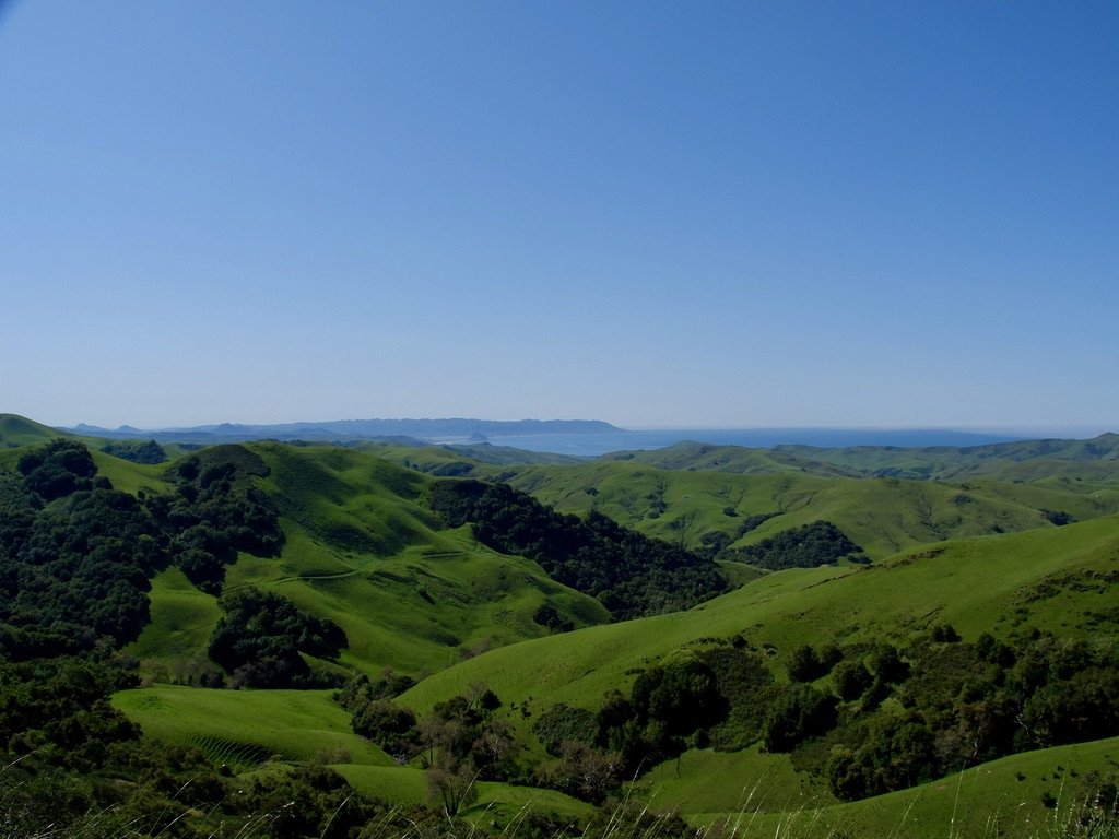
From CA Hwy 46 looking south down the coast towards San Luis Obispo, Morro Bay & Morro Rock.
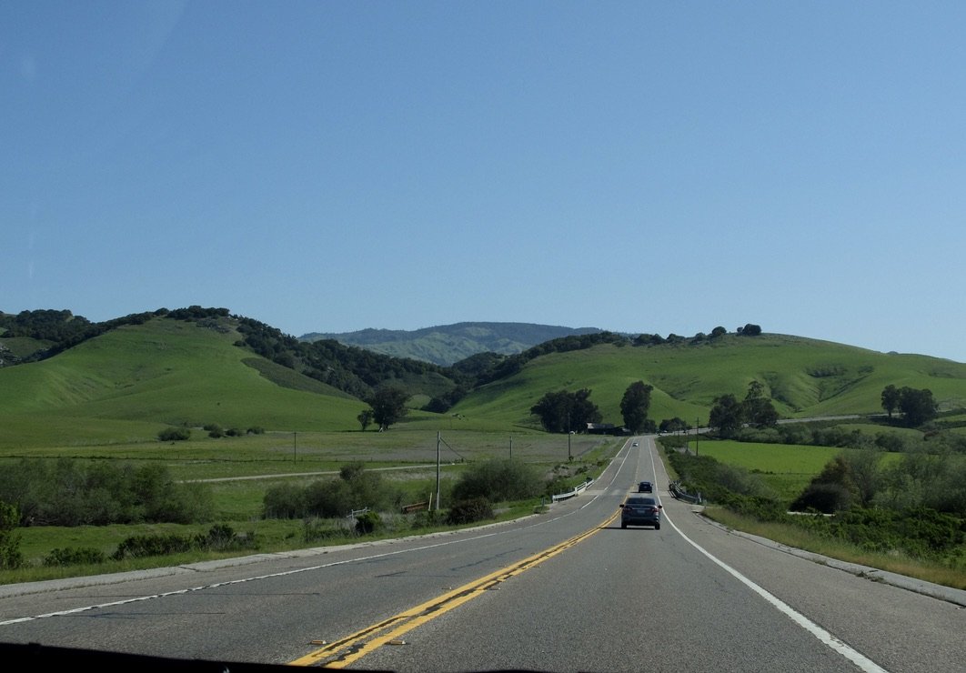
CA Hwy 46 Cambria to US 101.
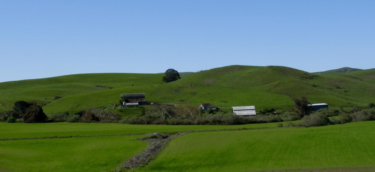
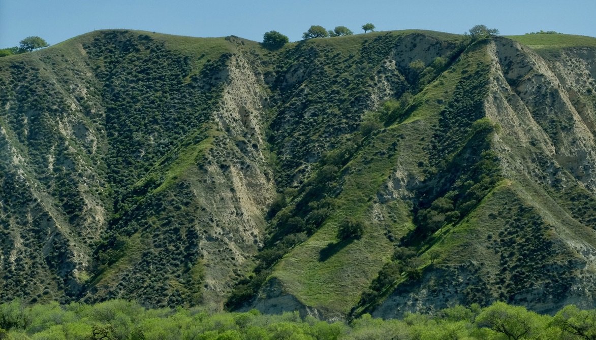
Who knew? I just asked Nomi to stop so I could take a photo.
“…a small 5th generation family farm…We offer u-pick for our blackberries, peaches, apples, sweet onions, summer veggies, herbs and heirloom tomatoes. Happy Acres is our outdoor family activity area which includes farm animals, a fort maze, a tractor tire garden, haystack and more. We offer honey tastings inside our farm market. During the fall, we grow over 100 varieties of pumpkins and winter squash.”
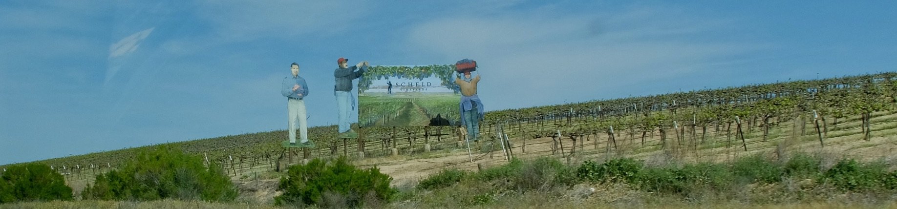
US 101 N. - “Family-owned and operated, Scheid Family Wines farms over 3,000 acres of vineyards along a 70-mile spread of the Salinas Valley. Our state-of-the-art winery located just off Highway 101 in Greenfield, California is 100% powered by renewable wind energy and is designed to reduce energy usage and cut waste.”
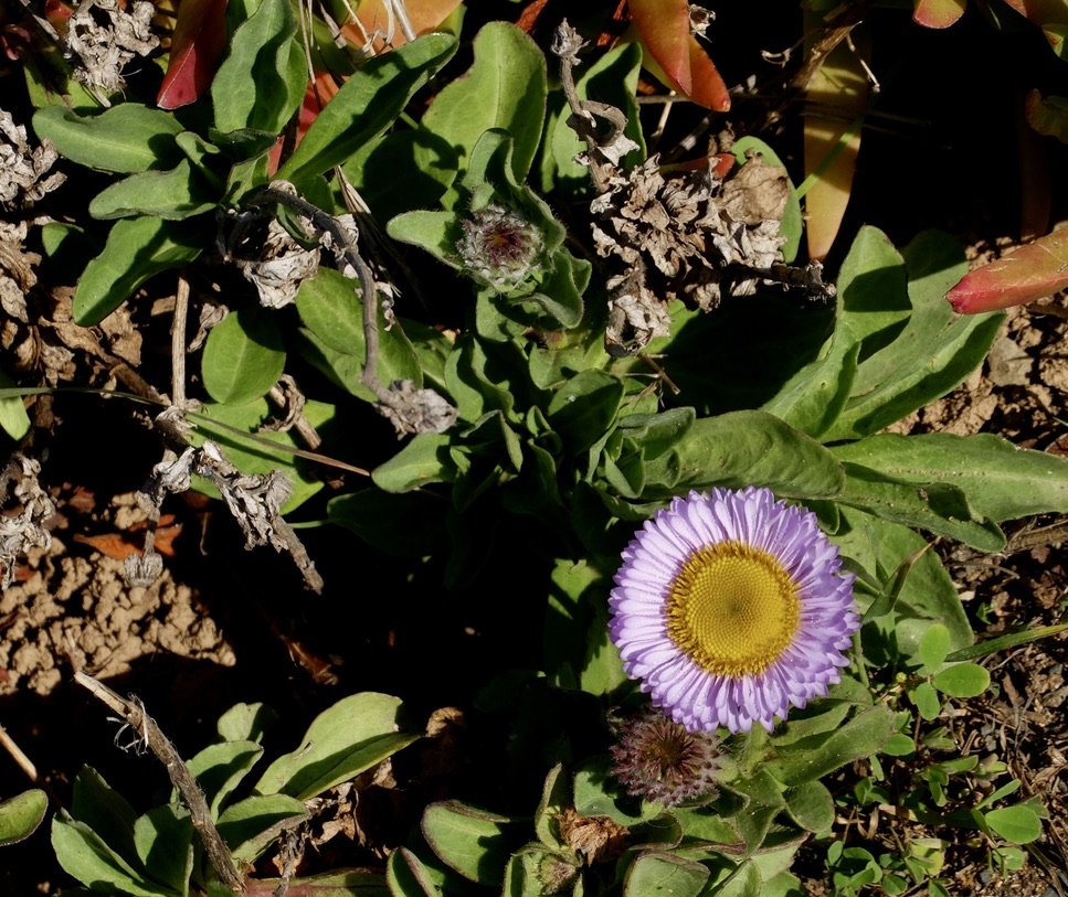
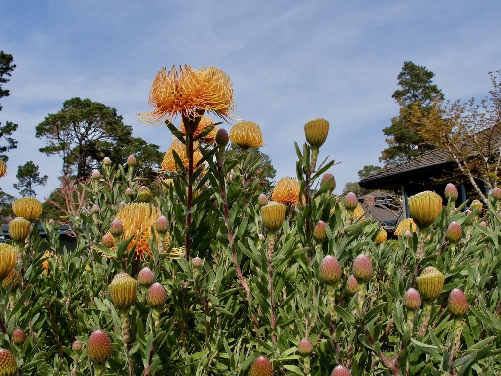
Leucospermum commonly known as pincushions at the Del Mesa Carmel retirement community Carmel Valley where friends of ours live.
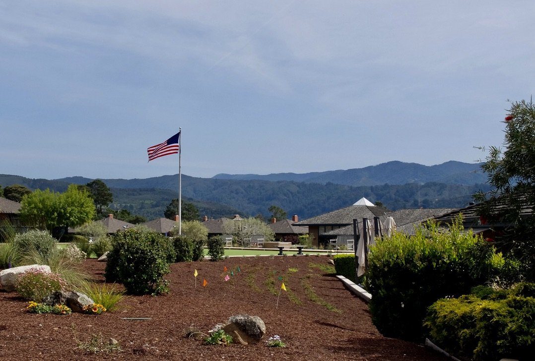
Bowling rink for lawn bowling This is the most popular club at the Del Mesa Carmel retirement community Carmel Valley.
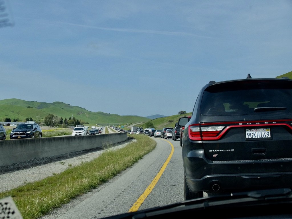
US 101 N. We had this Sunday “slow & go” traffic on & off many times on the return home.
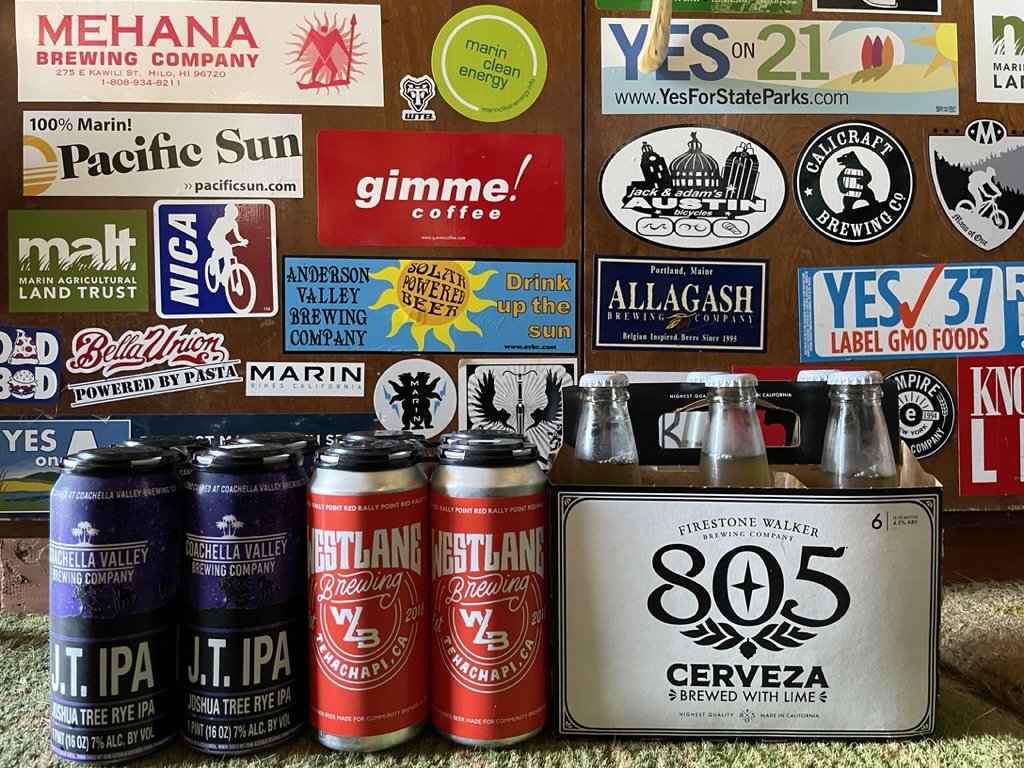
The local brews purchased along the way made it home safely. They have been shared with my “Below the Floodline” bluegrass group.