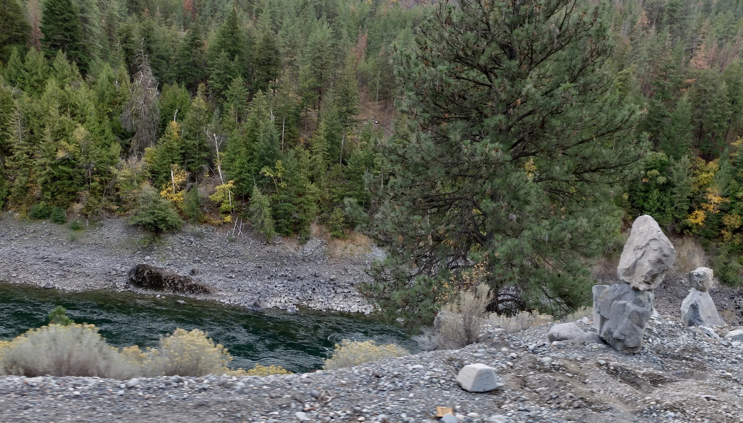
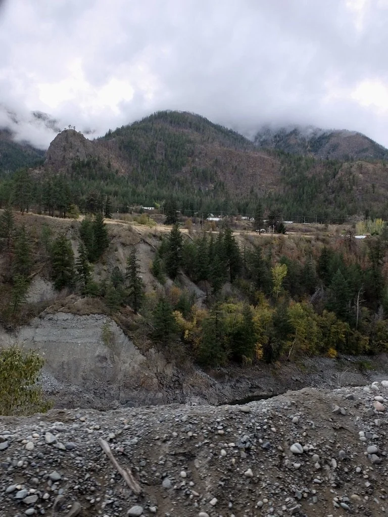
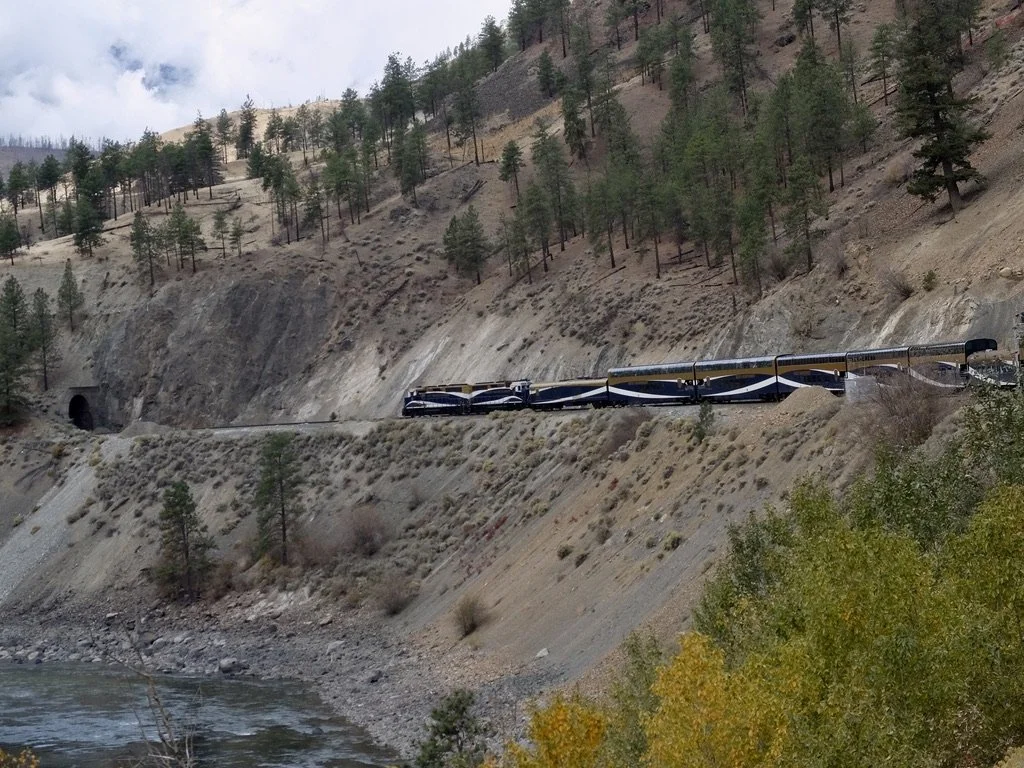
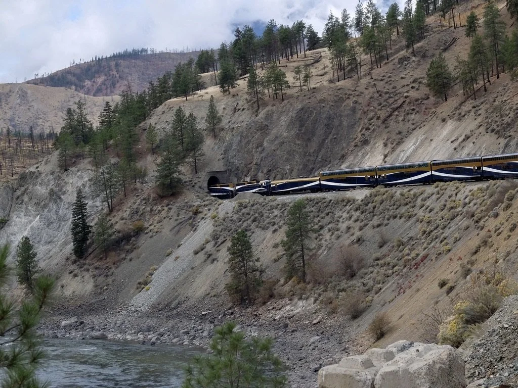
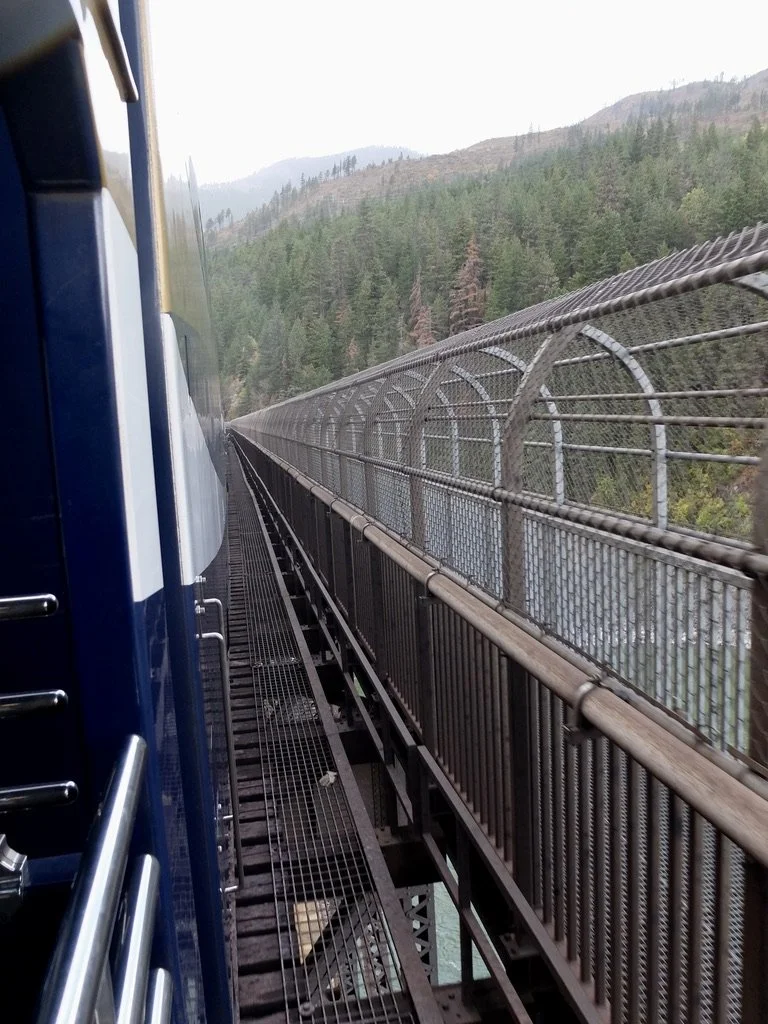
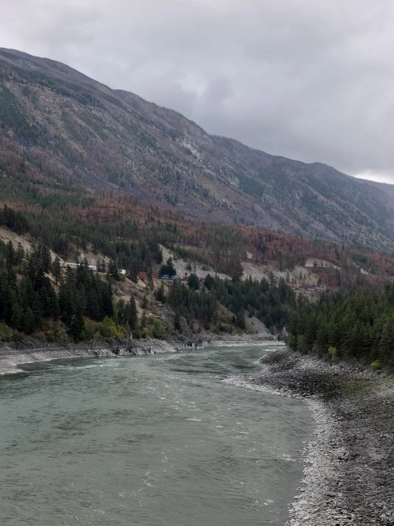
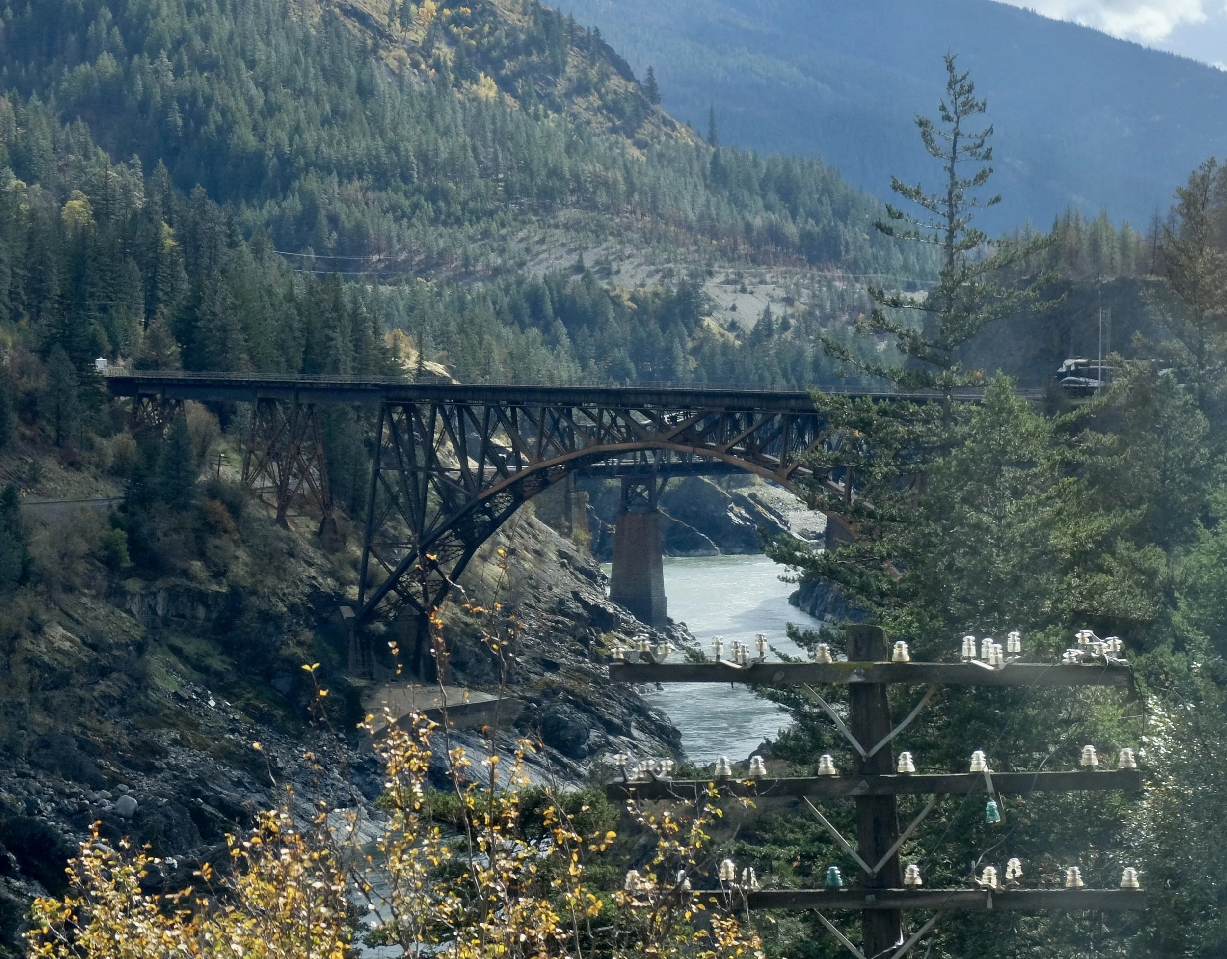
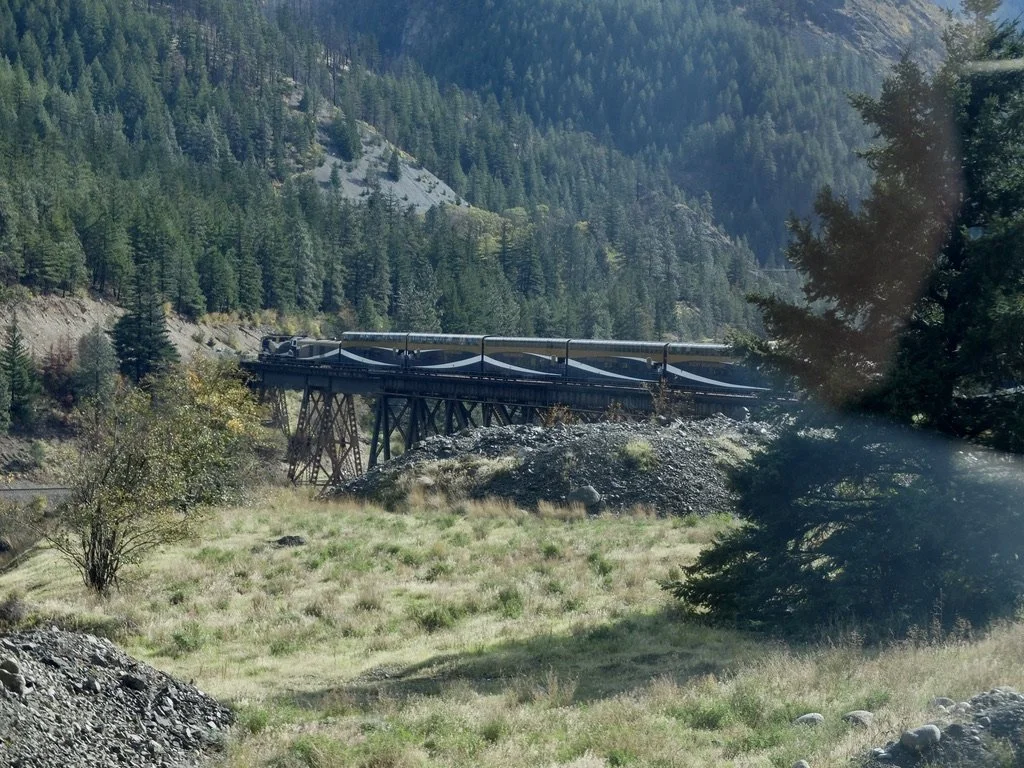
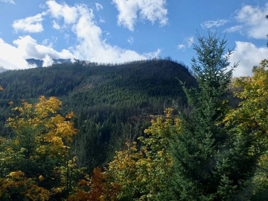
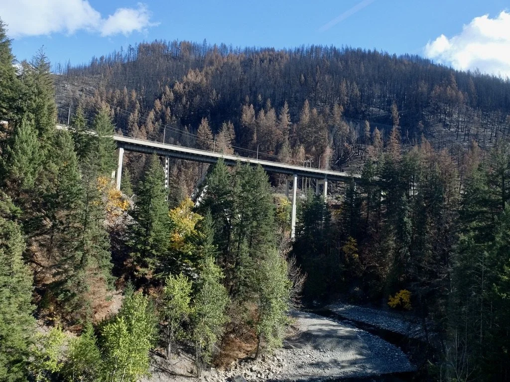
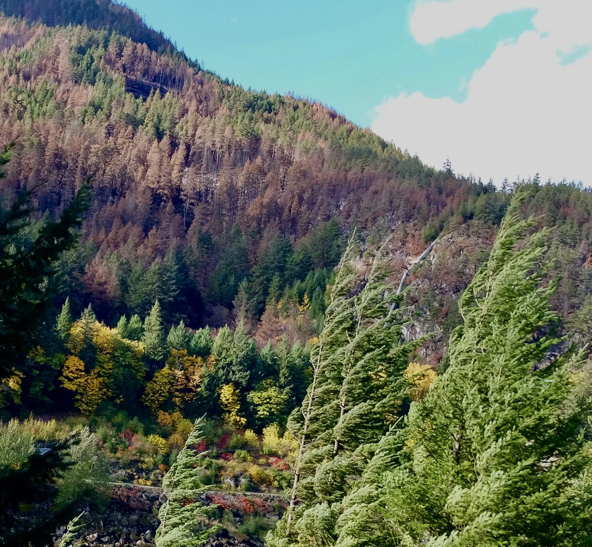
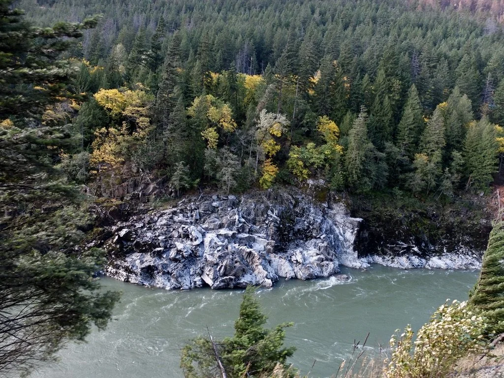
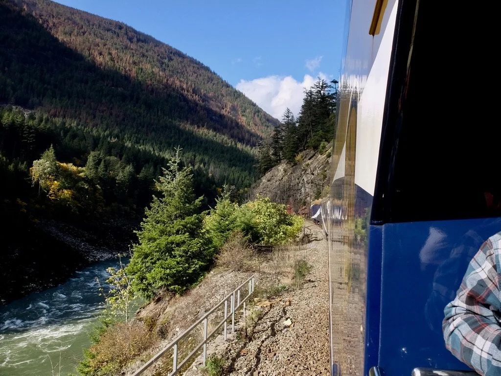
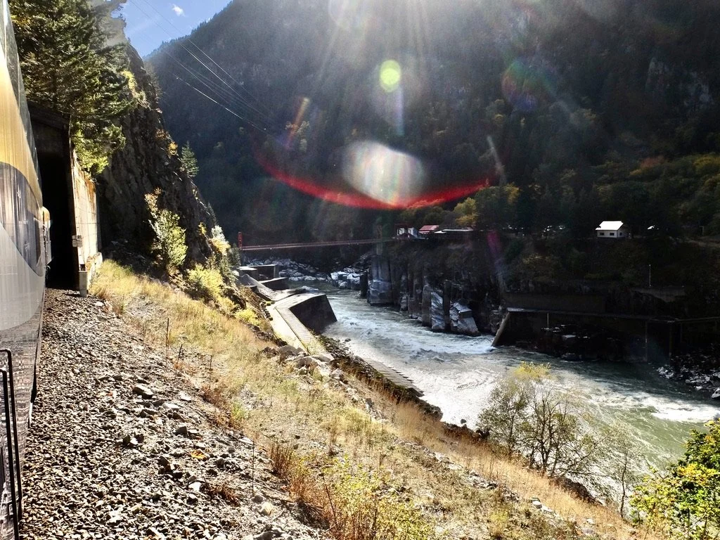
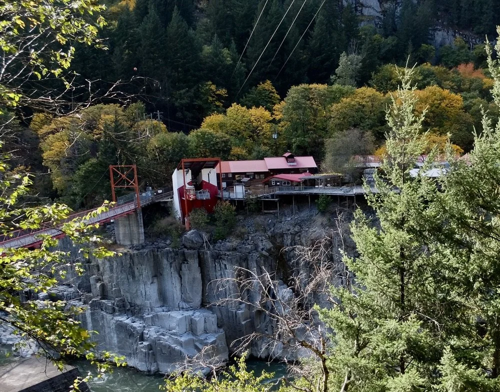
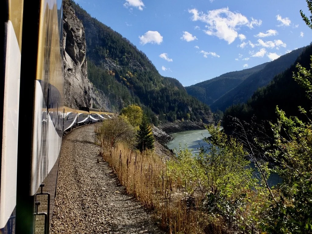
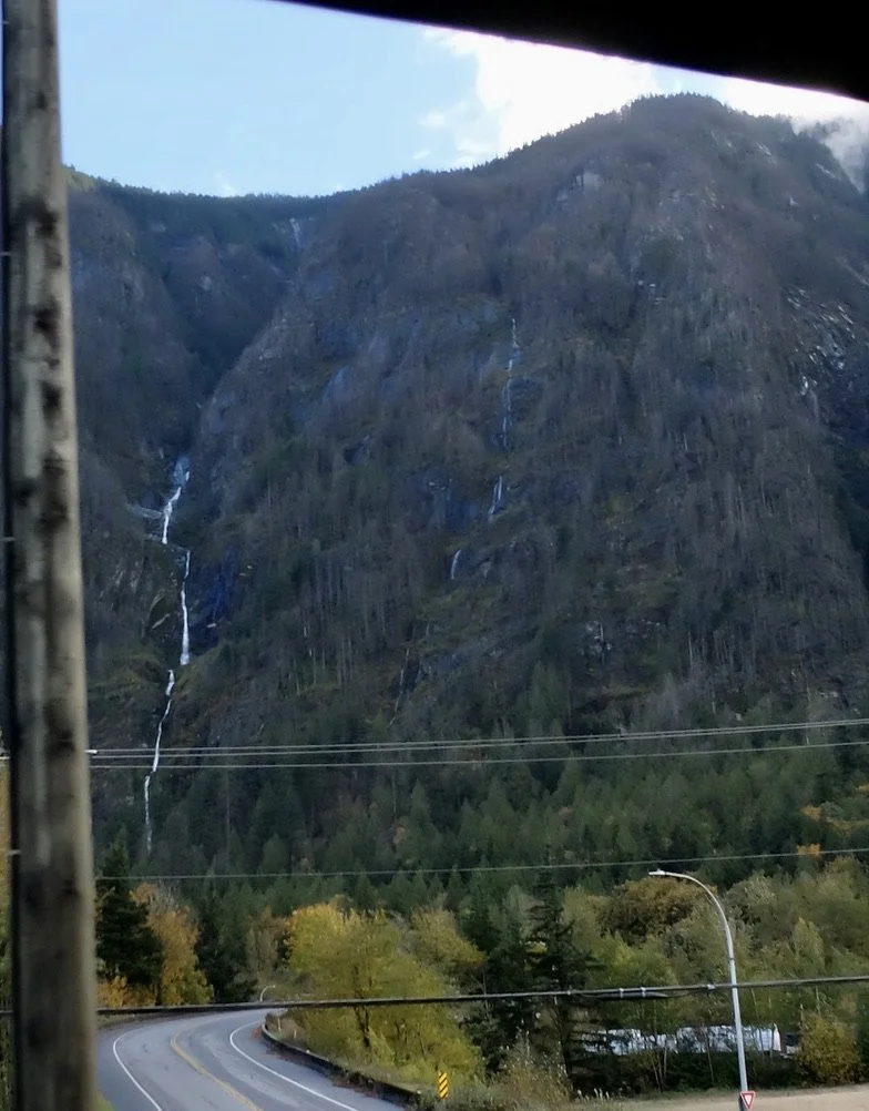
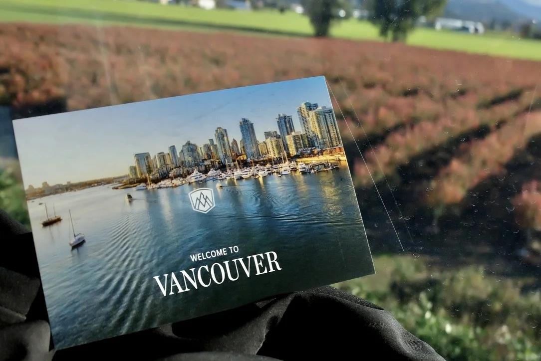
It was a looong day on the Rocky Mountaineer; almost twelve hours.
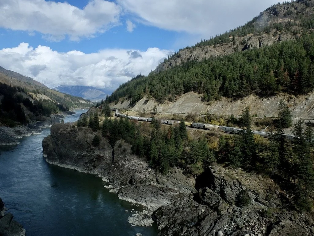
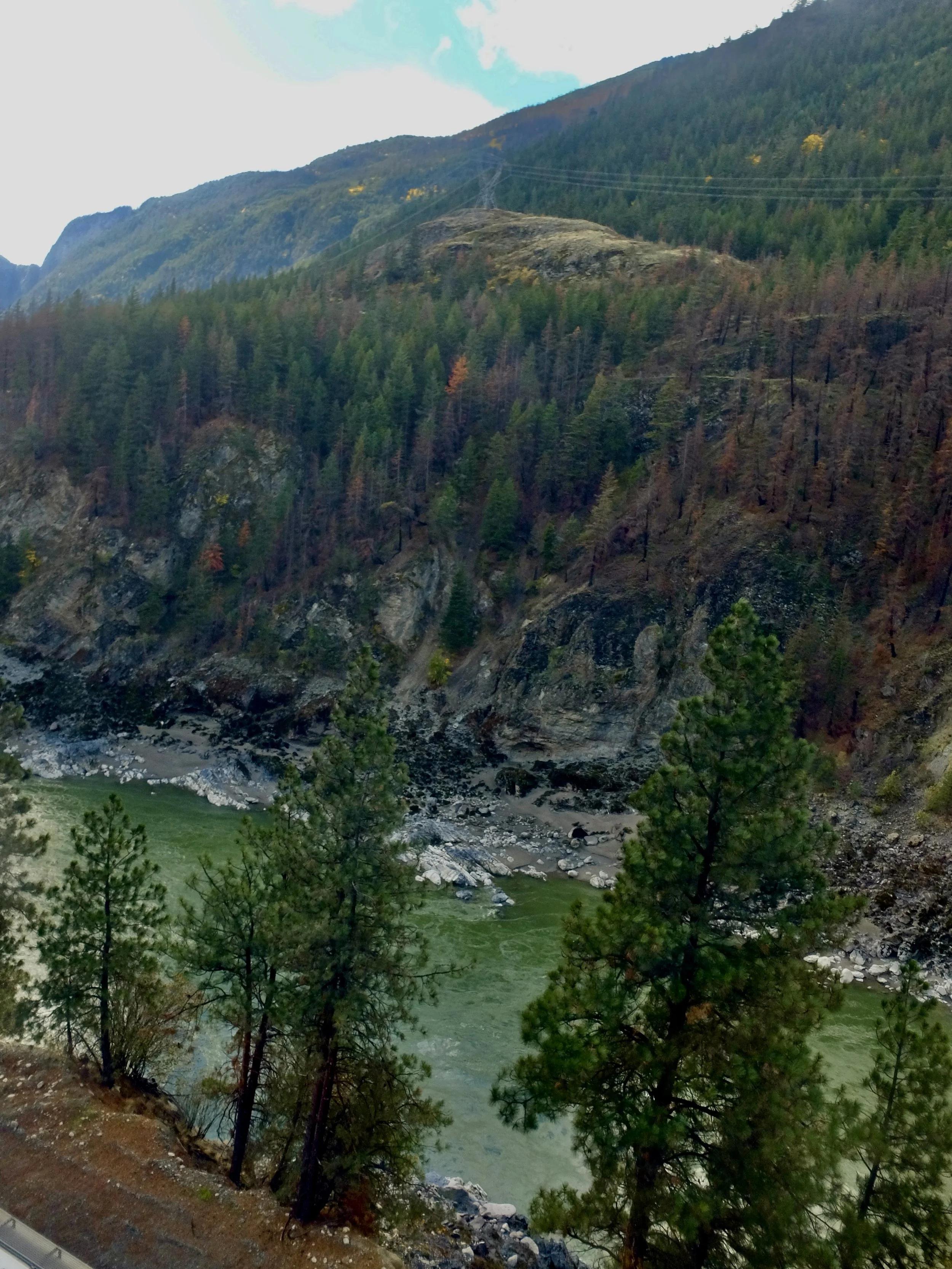
There were tunnels to snake through,bridges to cross or to gaze at, trains, landslides, aspens, rapids, canyons, isolated towns, hoo doos to be seen, crossing Alberta into British Columbia, breakfast & lunch plus snacks to be eaten & photos to be taken.
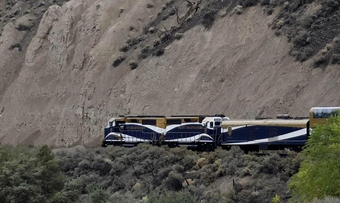
I regret not being able to see & touch the locomotive that was pulling us. The locomotive was about 16 railcars in front of our car. That was a long way to go during our arrivals & departures.
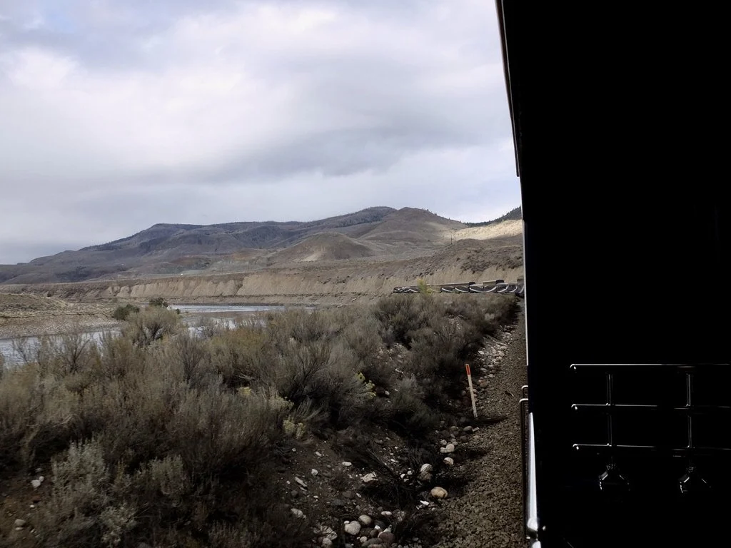
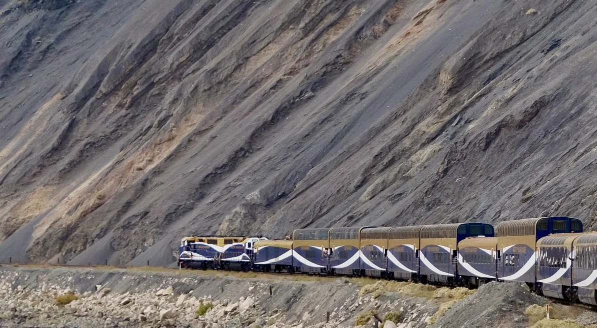
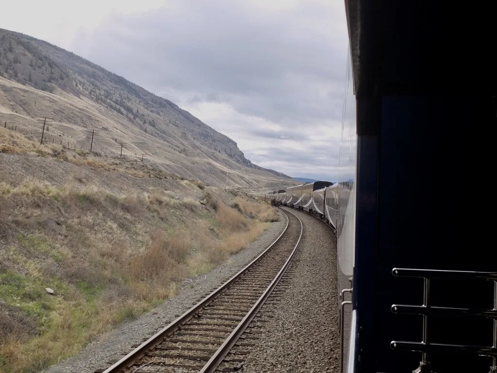
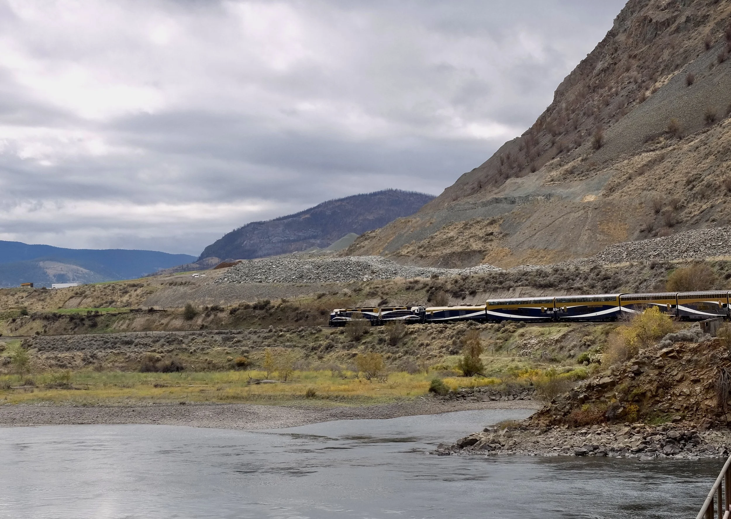
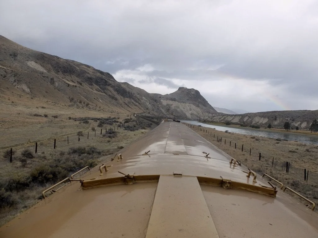
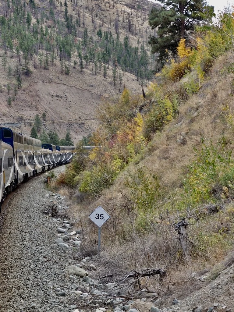
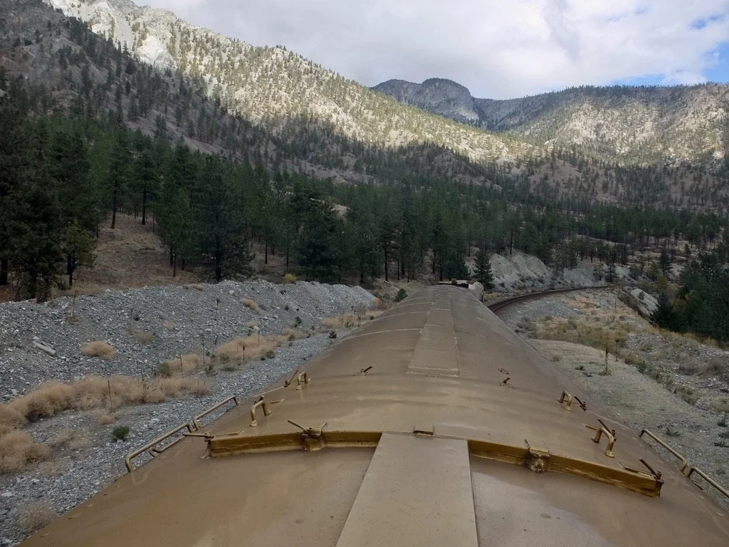
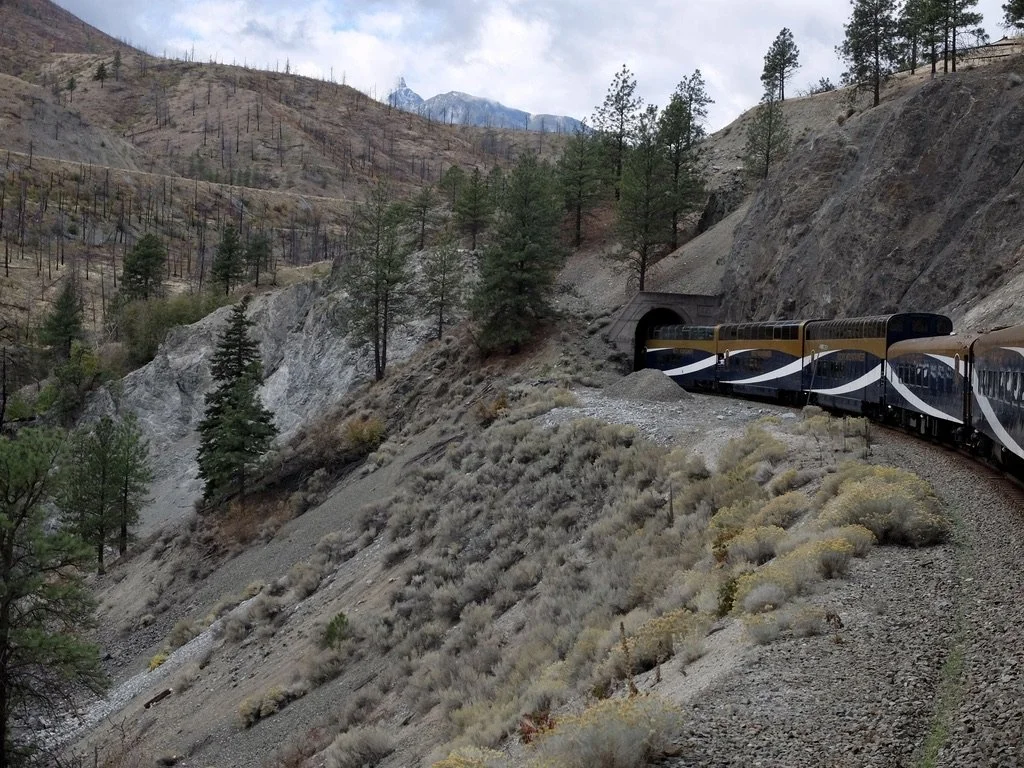
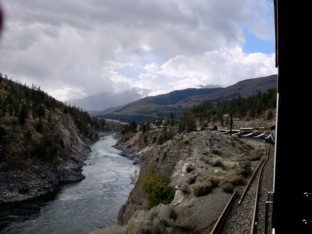
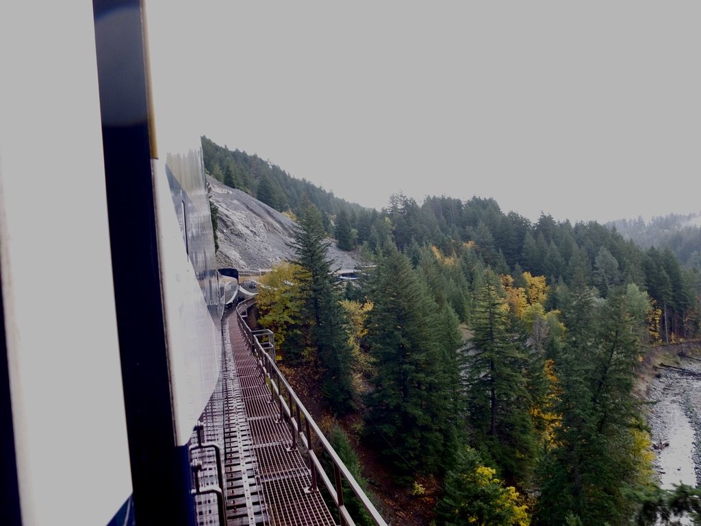
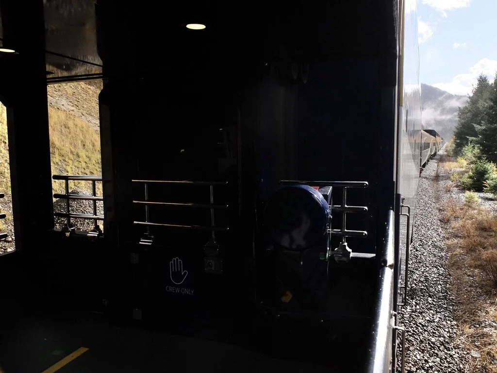
So, I kept chasing the engine. That is, I looked at the map for places where the rails took a sharp turn so I could see the engine from our car. I was the only one in our car with a camera that was not a phone. Our On-Board Hosts, Adam & Bronwyn, figured out what I wanted & let me know in advance of a sharp turn that would reveal the locomotive. Taking iconic train photos was truly possible. After our time on VIA rail trains Montréal to Winnipeg, I was getting comfortable take photos from a moving train. The cream on the Rocky Mountaineer was the viewing platfprm, worth the price of admission. I didn’t have a window to shoot through & could move around & compose freely. I rarely had company.
All the tiny towns & outposts along the Thompson & Fraser Rivers seemed to be in the middle of nowhere but they were never very far from the Trans-Canada Hwy 1. Canada has a superb, well maintained, transcontinental road & rail system.
I used GOOGLE searches, the “Rocky Mountaineer MILEPOST,” CSAA & Google maps to sometimes make guesses as to place names & landmarks.
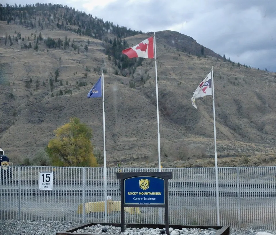
Arrival from our Kamloops hotel at 7:15 AM.
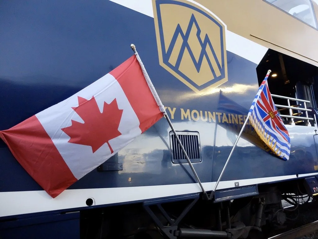
Kamloops Train Siding at 525 CN Road, just outside downtown Kamloops, B.C. “The provincial flag of British Columbia symbolizes the province’s British heritage and its location on Canada’s Pacific coast.” I’ll use BC for British Columbia.
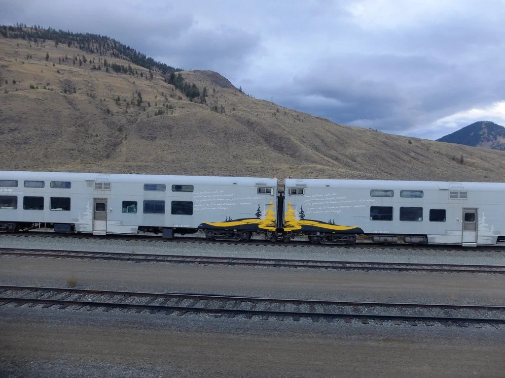
Circ de Soleil train sits in the Kamloops Train Siding. Rocky Mountaineer bought the train but only wanting the power car to provide either propulsion or auxiliary power. They have not yet figured out what to do with the rest of the train.
Leaving the Jasper train yards.
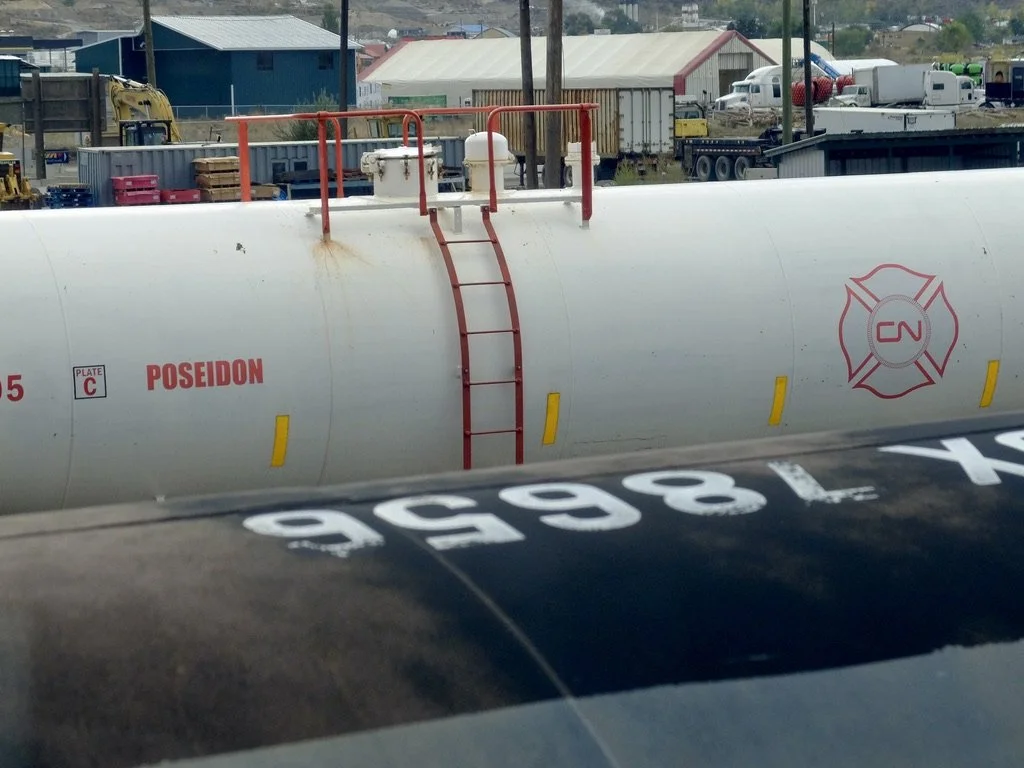
The 2023 "CN Poseidon is Canadian National Railway’s first purpose‑built firefighting railcar, designed to deliver large volumes of water and fire suppression agents to remote wildfire‑affected areas along CN’s network."
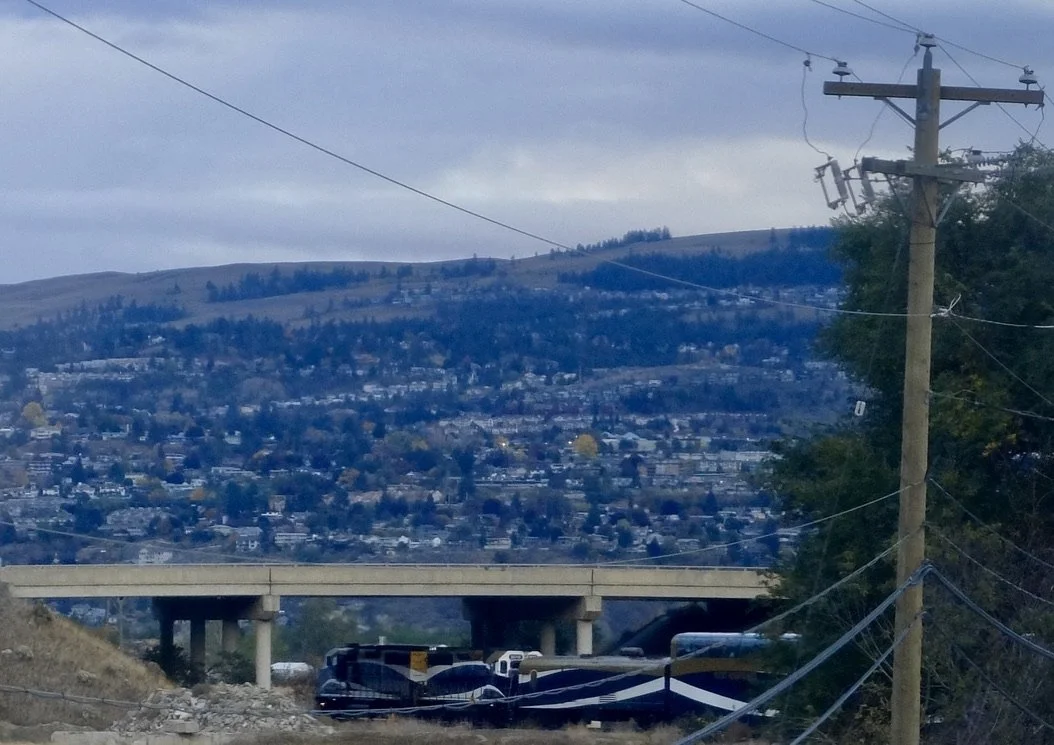
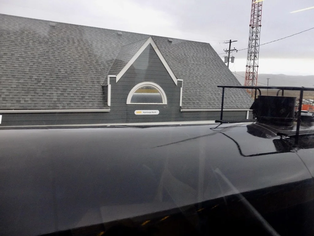
Kamloops North.
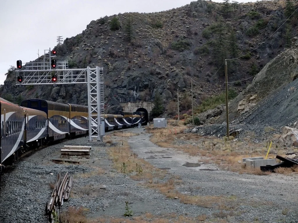
"The Battle Bluffs Tunnel is an 863 m (2,831 ft) railway tunnel on the Canadian National (CN) Ashcroft Subdivision, located between Kamloops and Hope, British Columbia, and is the longest tunnel operated by VIA Rail in Canada."
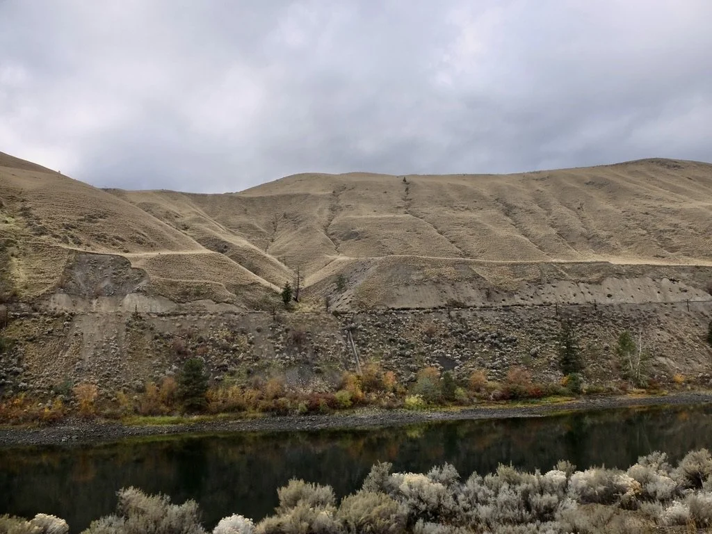
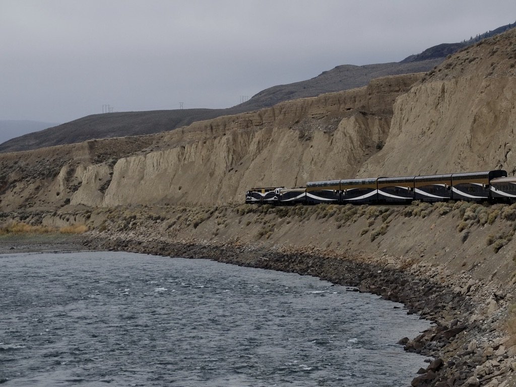
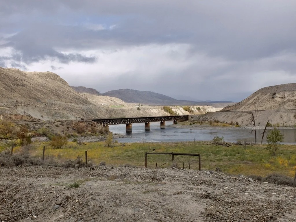
"The Thompson River is the largest tributary of the Fraser River. The Thompson was named by Fraser River explorer, Simon Fraser, in honour of his friend, Columbia Basin explorer David Thompson." In return, Simon named the the other river they explored the Fraser River. This day we’ll be following the Thompson into the Fraser down to Vancouver.
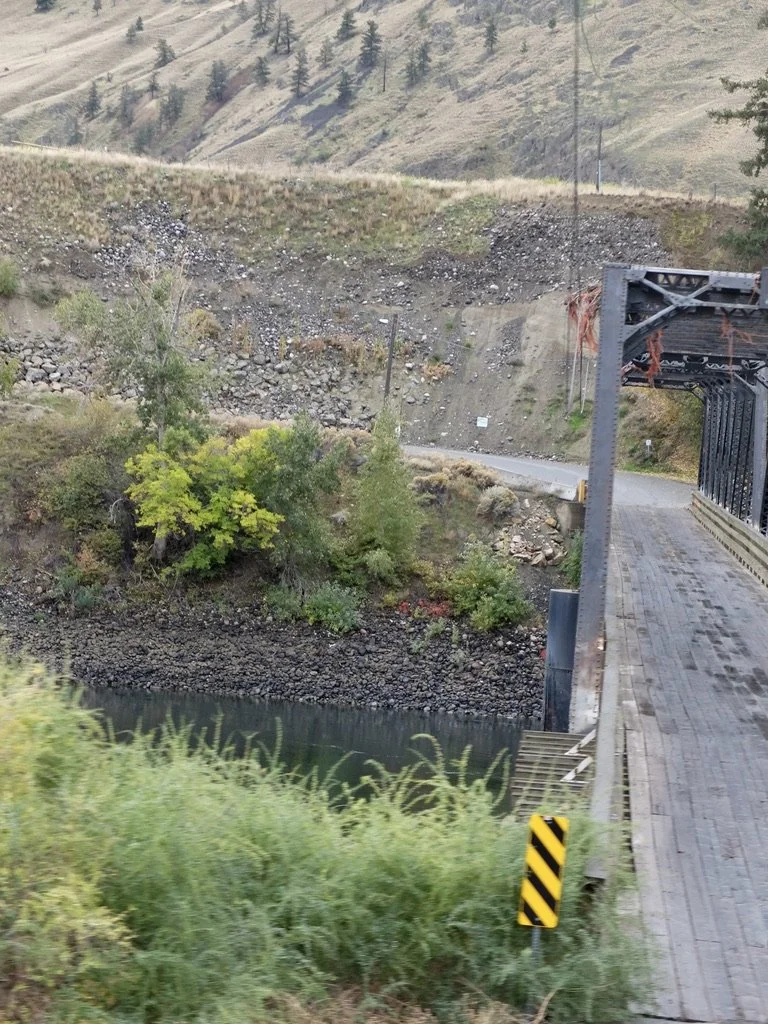
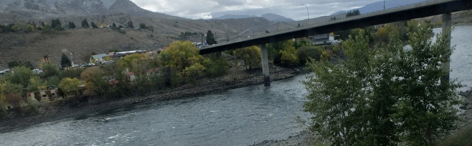
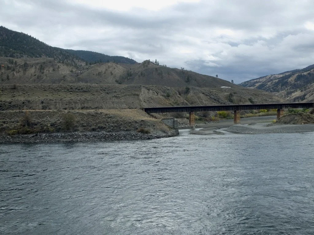
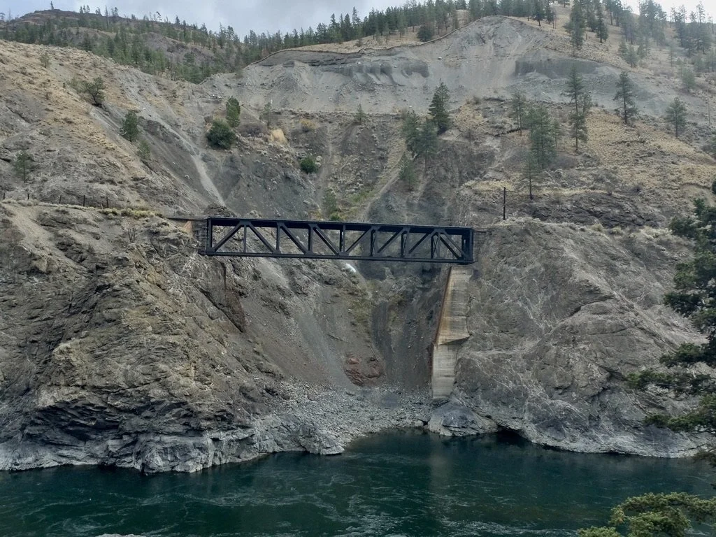
1911 Walhachin Bridge over the Thompson River.
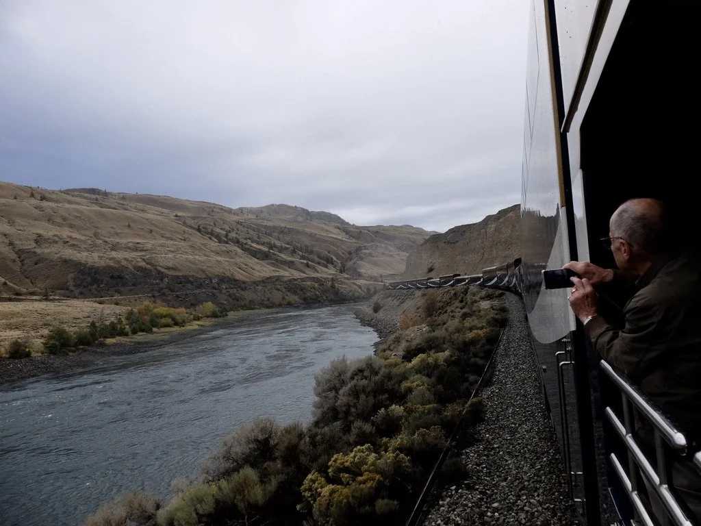
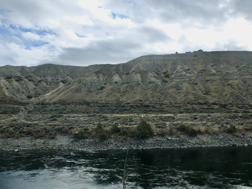
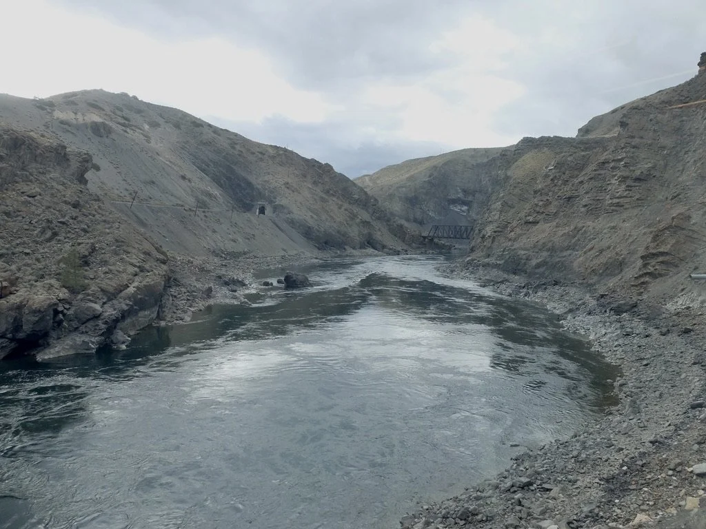
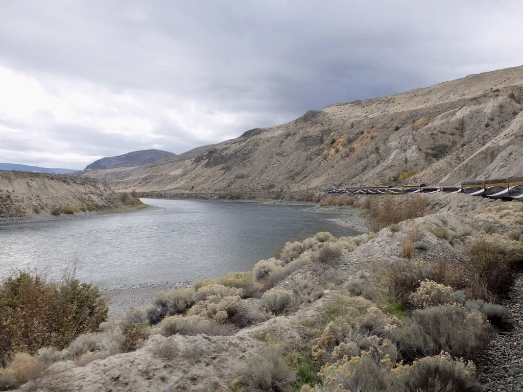
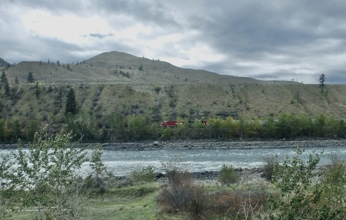
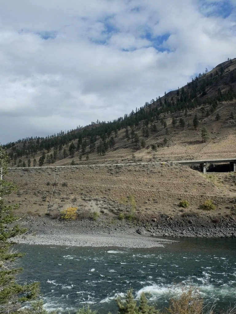
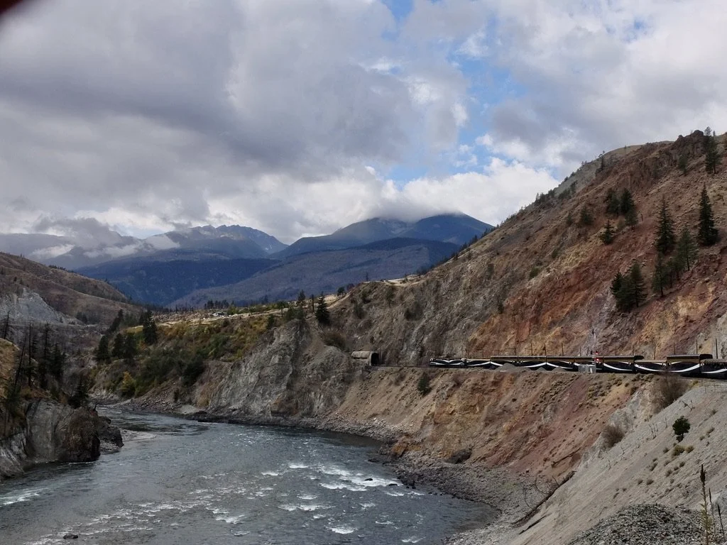
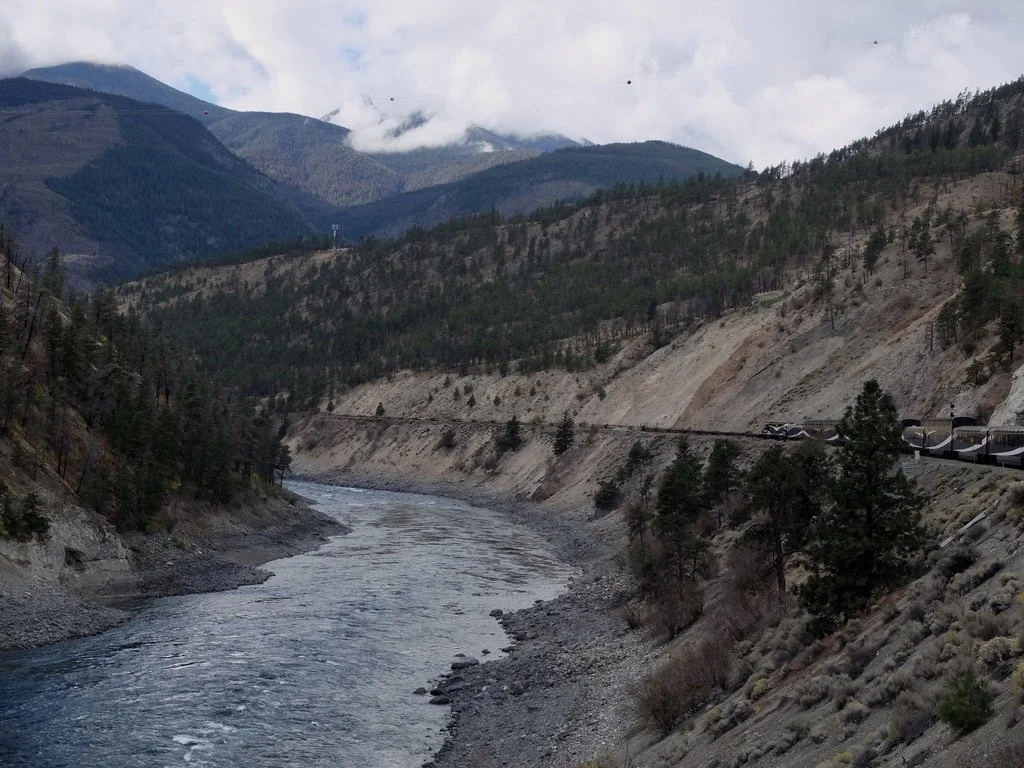
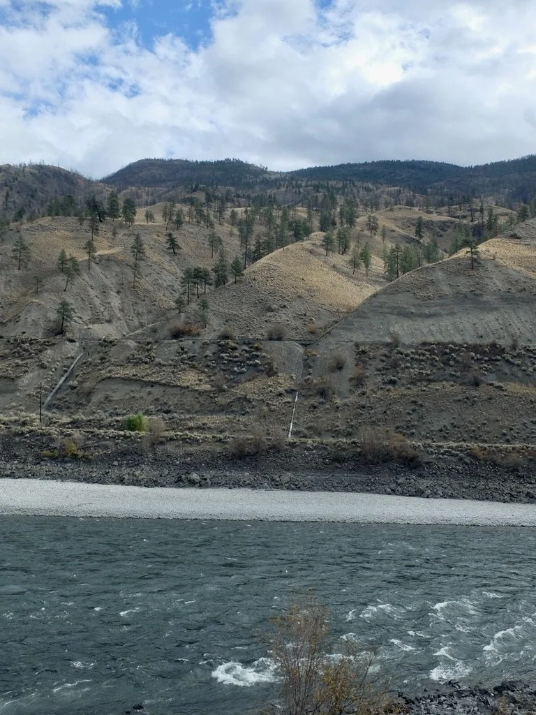
Thompson River Canyon, BC.
The locomotive pulling us had “…a two stroke, 16 cylinder 3000 hp diesel engine. Its weight on the rails was about 265,000 pounds.”
"Rocky Mountaineer’s locomotive fleet centers on modernized EMD SD40M‑2 units, supported historically by GE B‑series locomotives,…
…all chosen to provide reliable performance across steep grades and scenic mountain corridors."
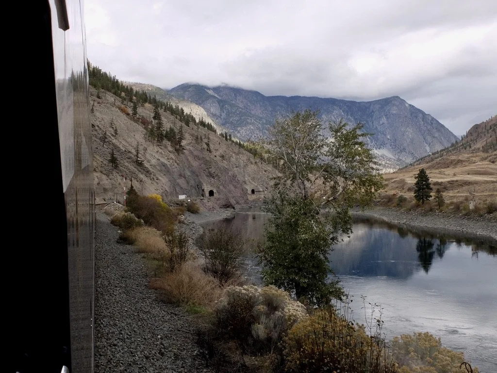
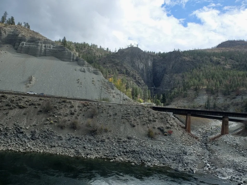
"From Ashcroft to Lytton, the river is completely confined within Thompson Canyon, making for spectacular scenery."
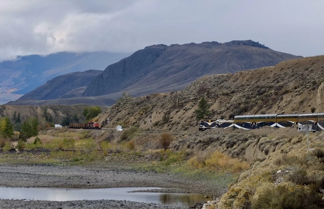
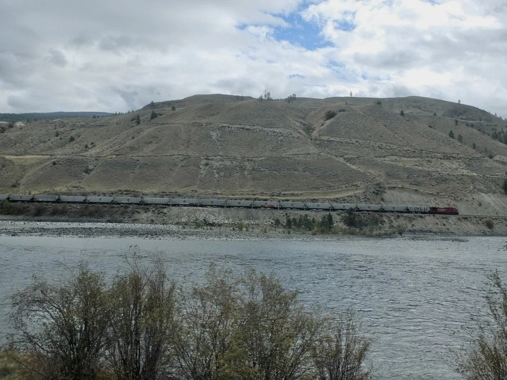
On the same side of the Thompson Canyon the Canadian Pacific Railway (CPR) (now CPKC) carrying both freight and passenger services, including the Rocky Mountaineer & the Canadian National Railway (CN) handling heavy freight (coal, potash, grain, intermodal) & some passenger services. They are usually on separate sides of the canyon,
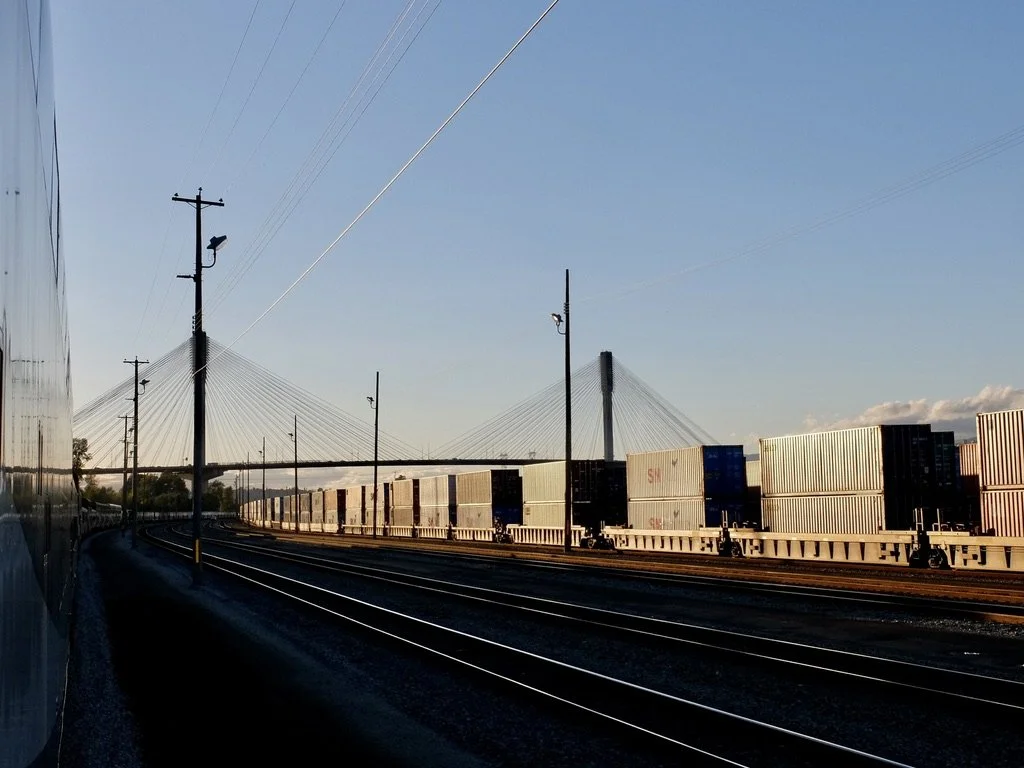
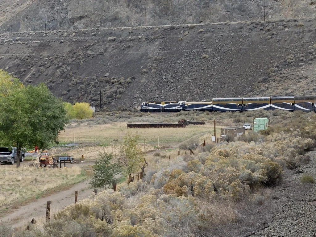
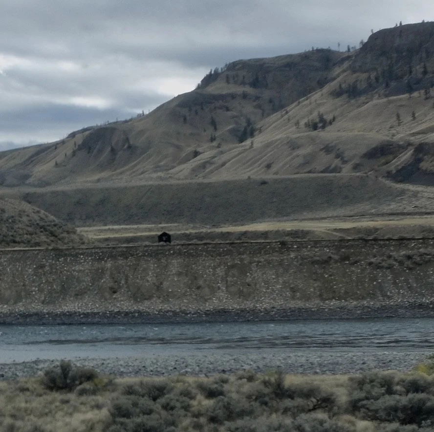
The river is paralleled by the Trans-Canada Highway, the Canadian Pacific Railway and the Canadian National Railway. That house might look isolated but it's not too far from the Trans-Canada Hwy 1.
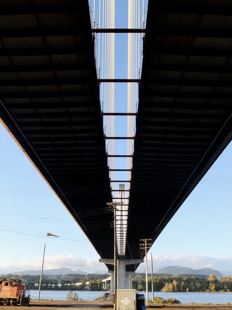
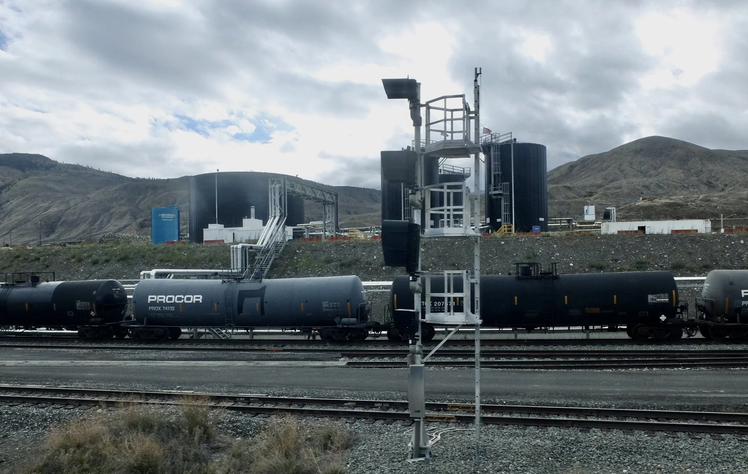
Ashcroft Terminal on the Thompson River. "Canada remains one of the world’s top oil producers and exporters..." c. 1952 "Procor is Canada’s largest full‑service lessor of tank cars and specialty freight cars, with a nationwide leasing, repair, and supply‑management network."
Hoo doos; isolated pinnacles or rock where the hill has worn away.
1991 Highland Valley Rd/ Bridge into Ashcroft, BC. established by the Cornwall brothers in 1862. "Ashcroft is frequently one of the hottest places in BC in the summer..." with about 10"/25cm, of annnual rainfall. Now, it’s a large cattle ranching area.
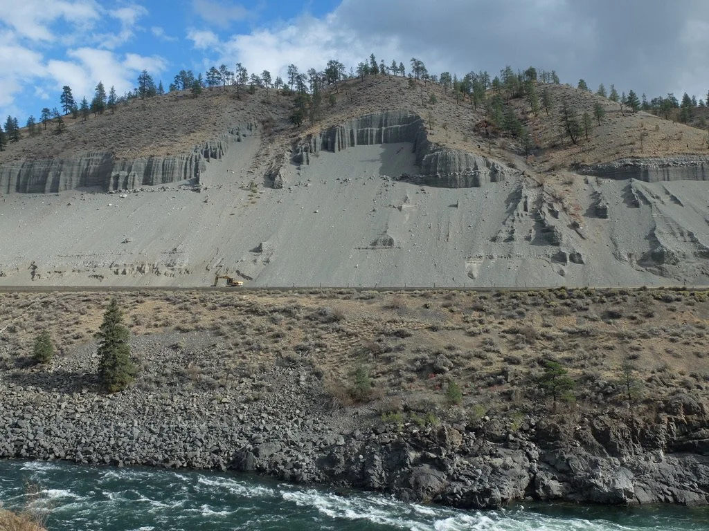
"The Ashcroft Thompson River landslides refer to a cluster of at least a dozen major slope failures along a…
…~10 km stretch of the Thompson River Valley south of Ashcroft, British Columbia "
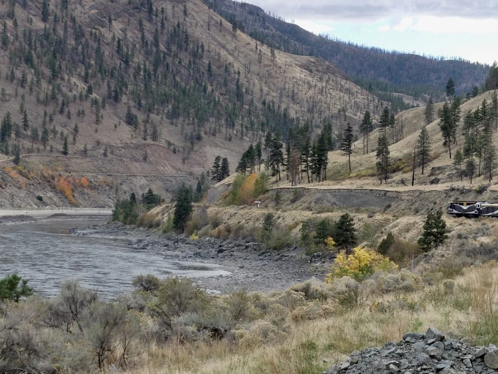
Recovering gravel, I guess from landslides along the Thompson Canyon.
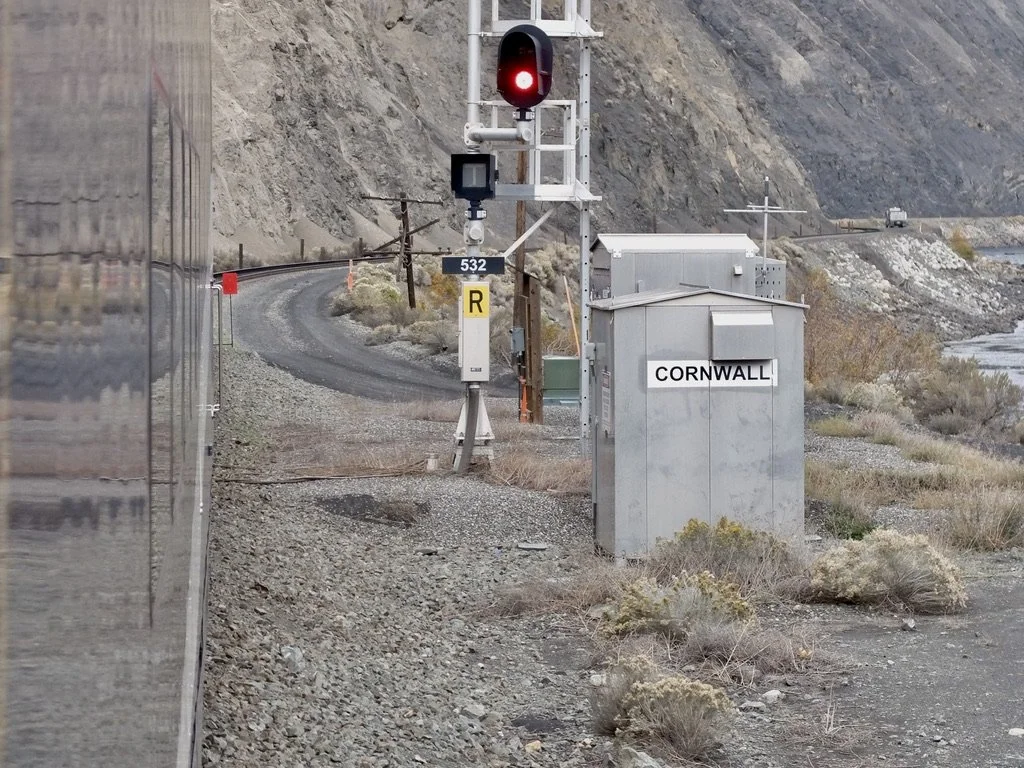
CORNWALL is not a town just a CN maker named for the Cornwall brothers who established Ashcroft.
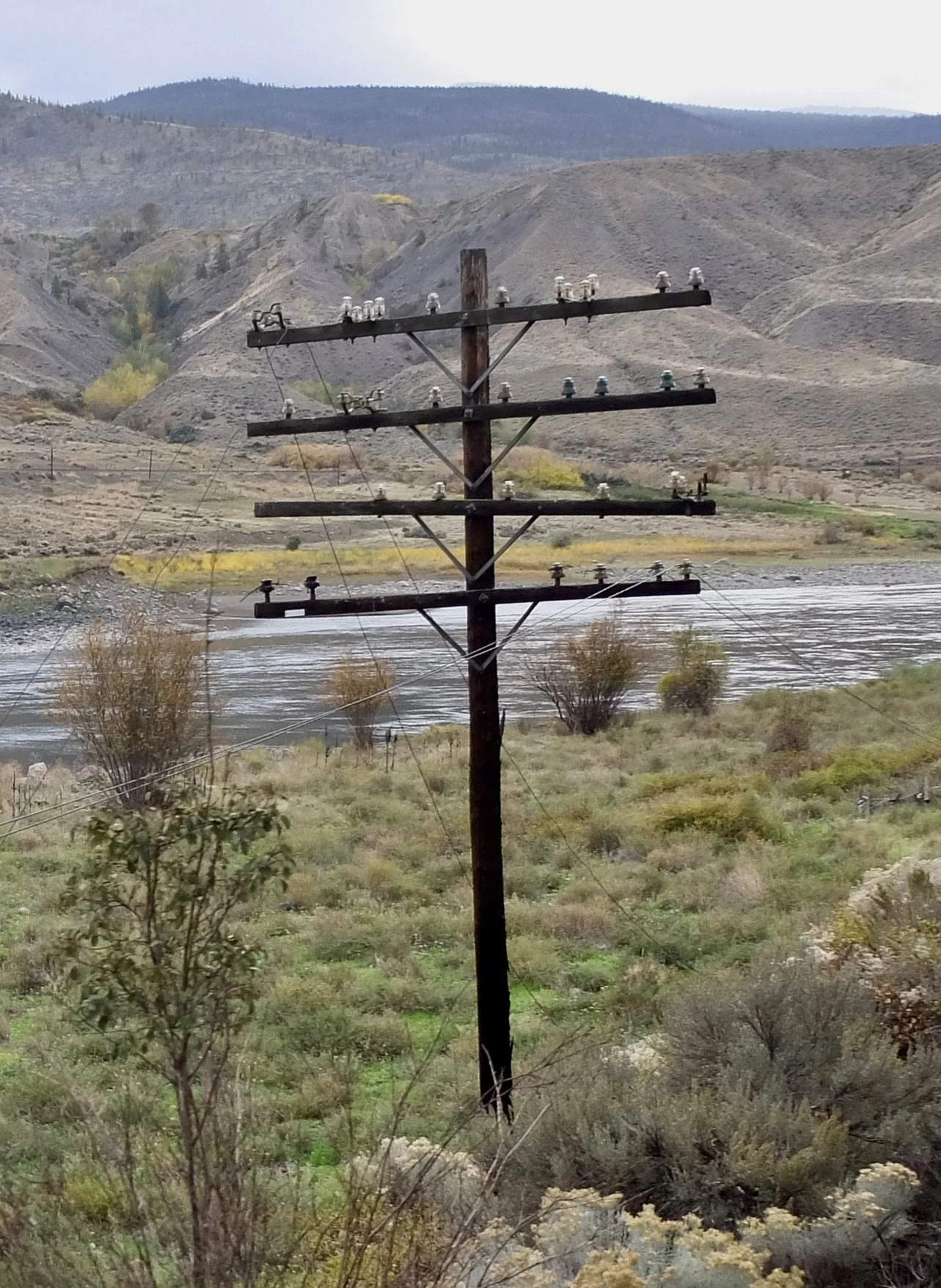
Abandoned telegraph wire pole.
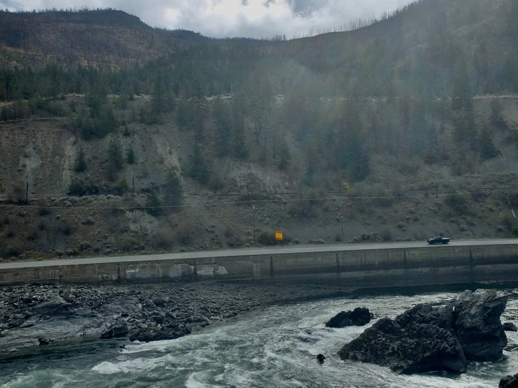
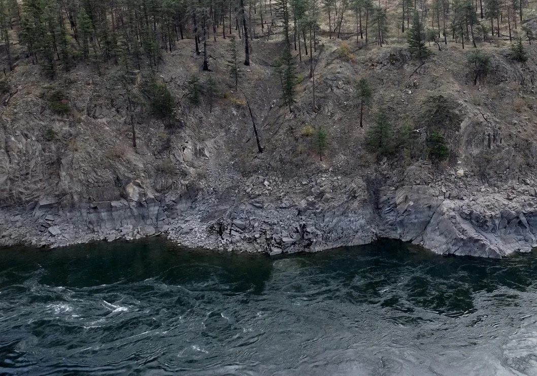
"There is a striking stretch of dark black cliffside just downstream from Ashcroft and visible from the Logan Lake-Ashcroft highway is officially named the Black Canyon."
"Black Canyon; dramatic basalt canyon section of the Thompson River near Ashcroft" Local guide Sean Mooney says "Solid class 3 rapids."
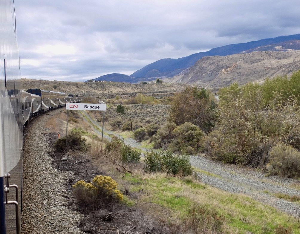
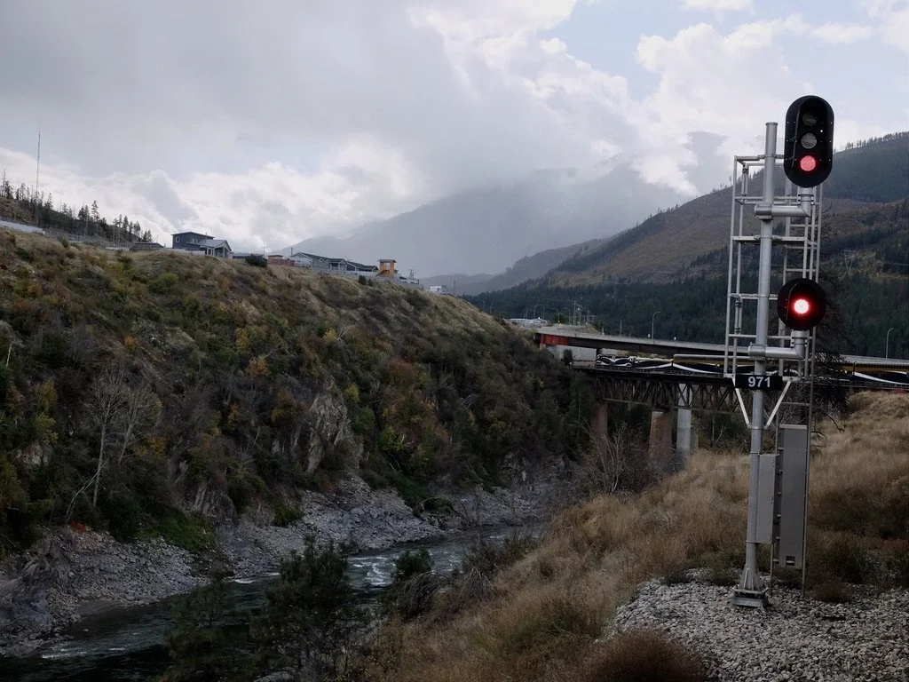
Basque, "...one of three places where both the CPKC & CN rail are on the same side of the Thompson River."
"Basque,... near the village of Ashcroft. It is the post office and whistlestop-crossing on the historic Basque Ranch, one of the earliest ranches in the Interior of British Columbia....Basque is notable as the location where the Canadian Northern Railway drove its Last Spike in 1915."
Basque Ranch is “a mineral prospect” & a spot for rockhounders.
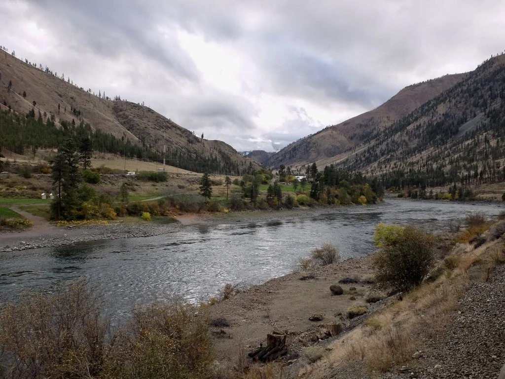
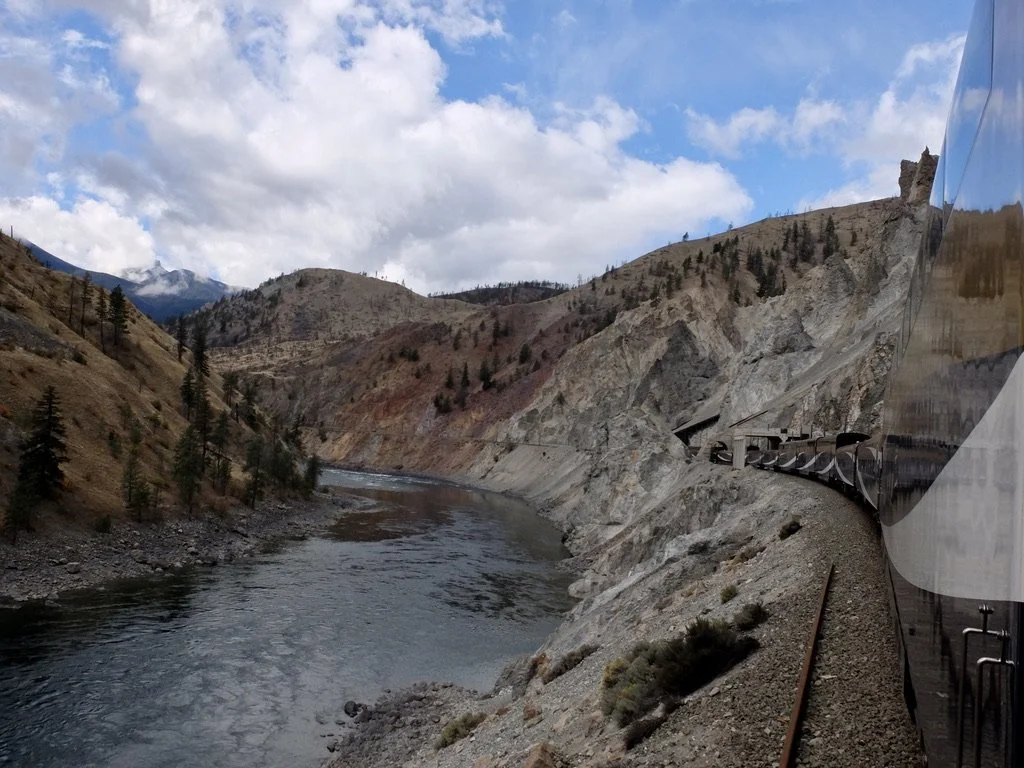
The lower Thompson River Valley.
Crossing back over the Thompson River. Landslide area now a source of rocks & gravel.
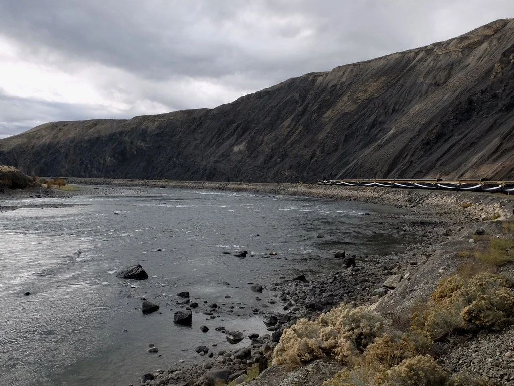
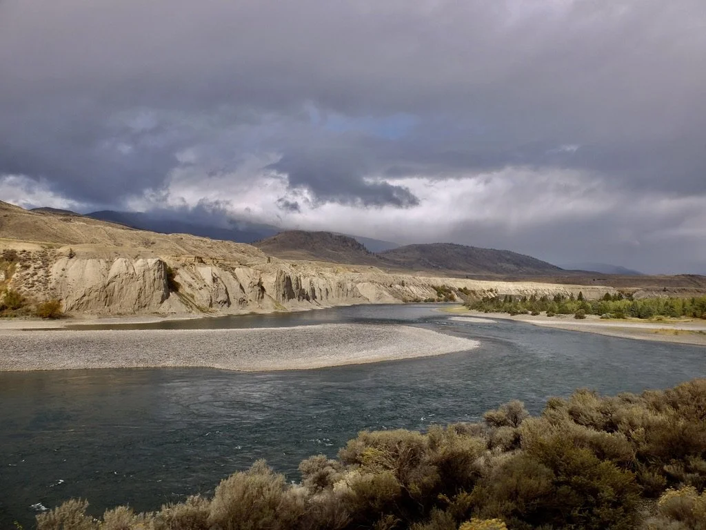
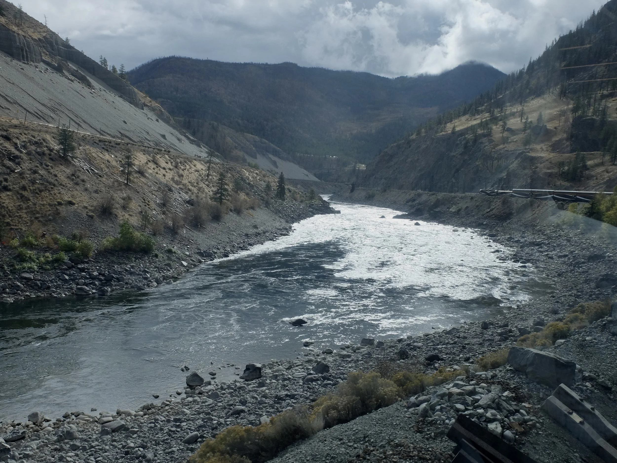
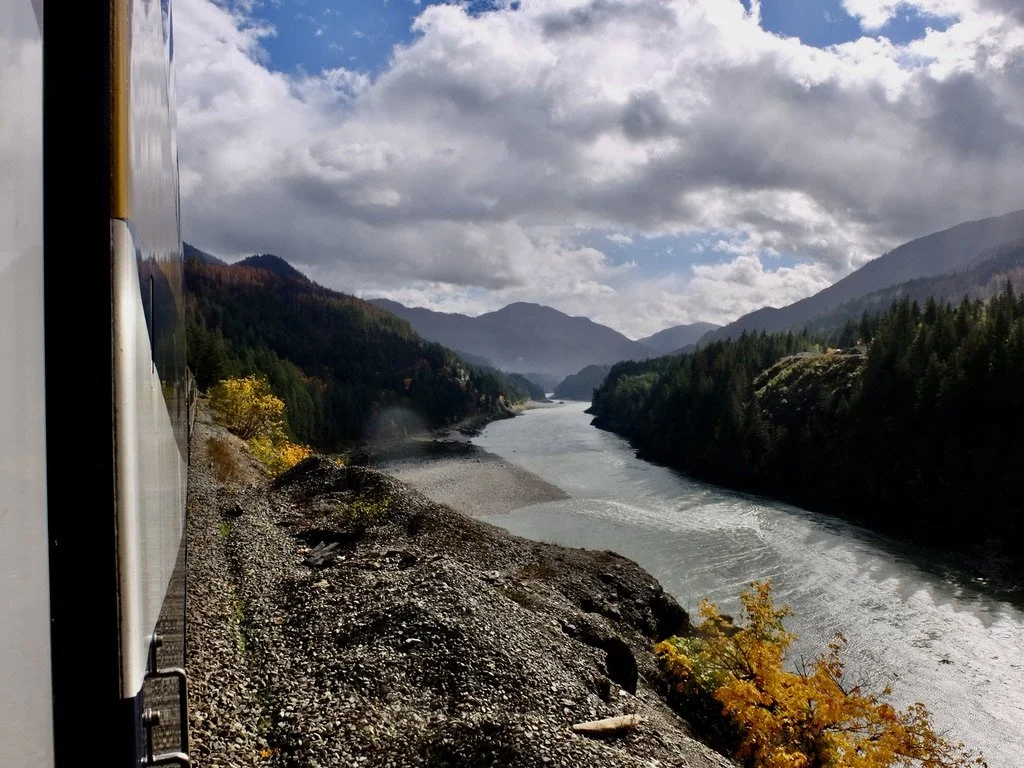
The Thompson River near Basque Road.
The lower Thompson River Valley.
Somewhere along here (no monument) "...the last spike of the Canadian Northern Railway was driven on Jan. 23, 1915." In the photographs of the event, no Chinese appear. They were the ones who built the railway.
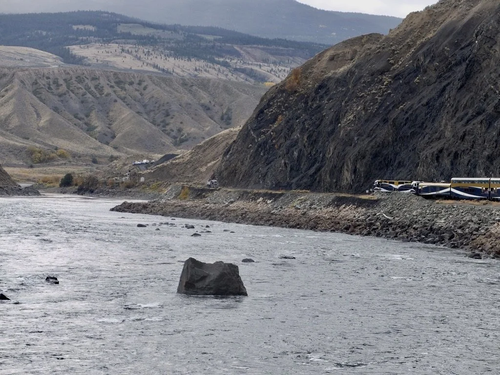
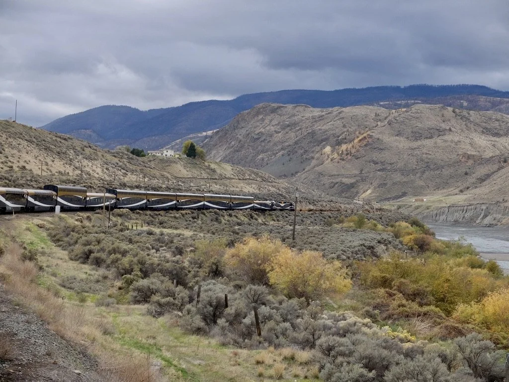
Our Rocky Mountaineer followed the 1885 Canadian Pacific (CPKC) tracks on the west side "...the easiest route through the canyon."
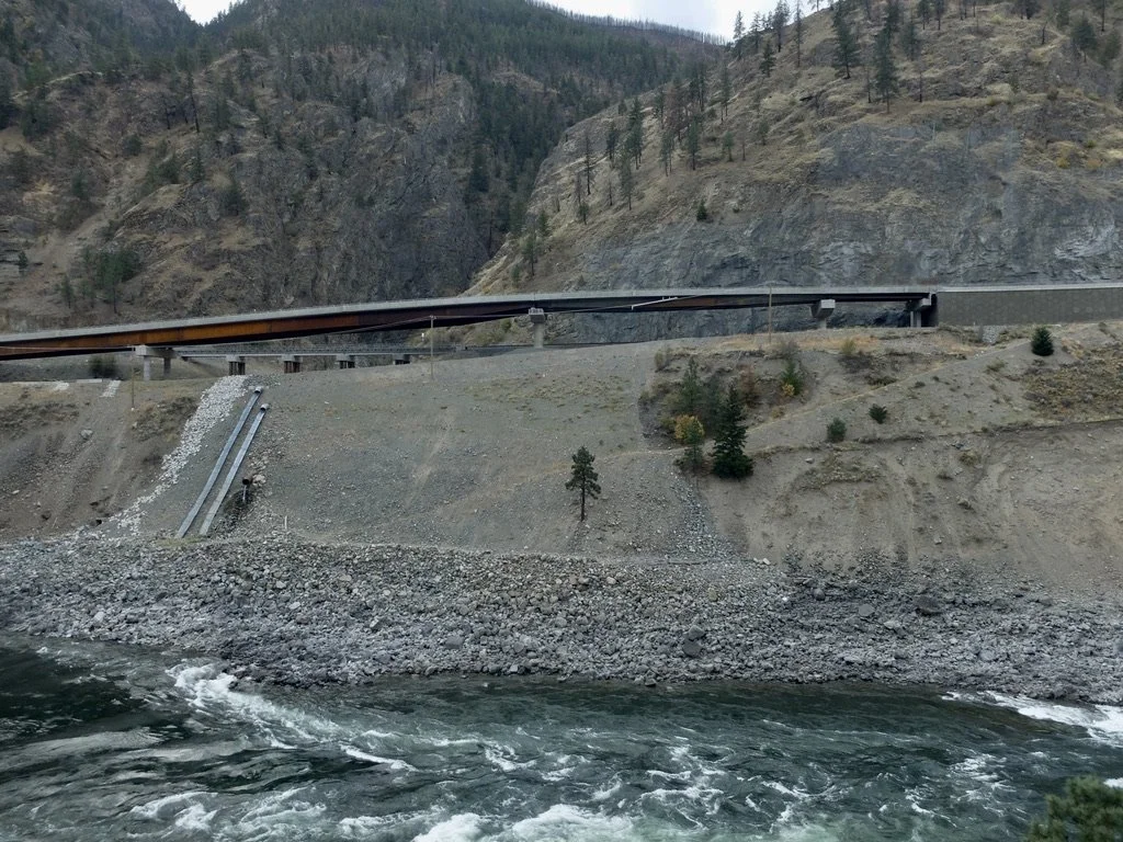
30 years later there was no room for the Canadian Northern Railway, now Canadian National Railway (CN). The CNR was forced to build their route on the more difficult side of the canyon.
"On 1 January 2014, the old Spences Bridge, a one-lane steel truss bridge, was decommissioned and permanently closed to all pedestrian and vehicle traffic after 82 years of service. ... due to the poor condition of the bridge."
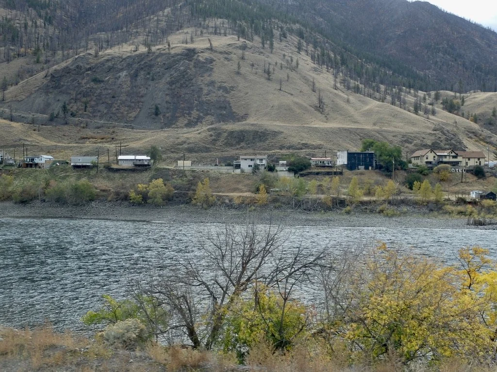
Spences Bridge on the Thompson River. A relic of BC’s Gold Rush. "...the very quiet town of Spences Bridge, BC (population 76, if one can believe the 2021 census).”
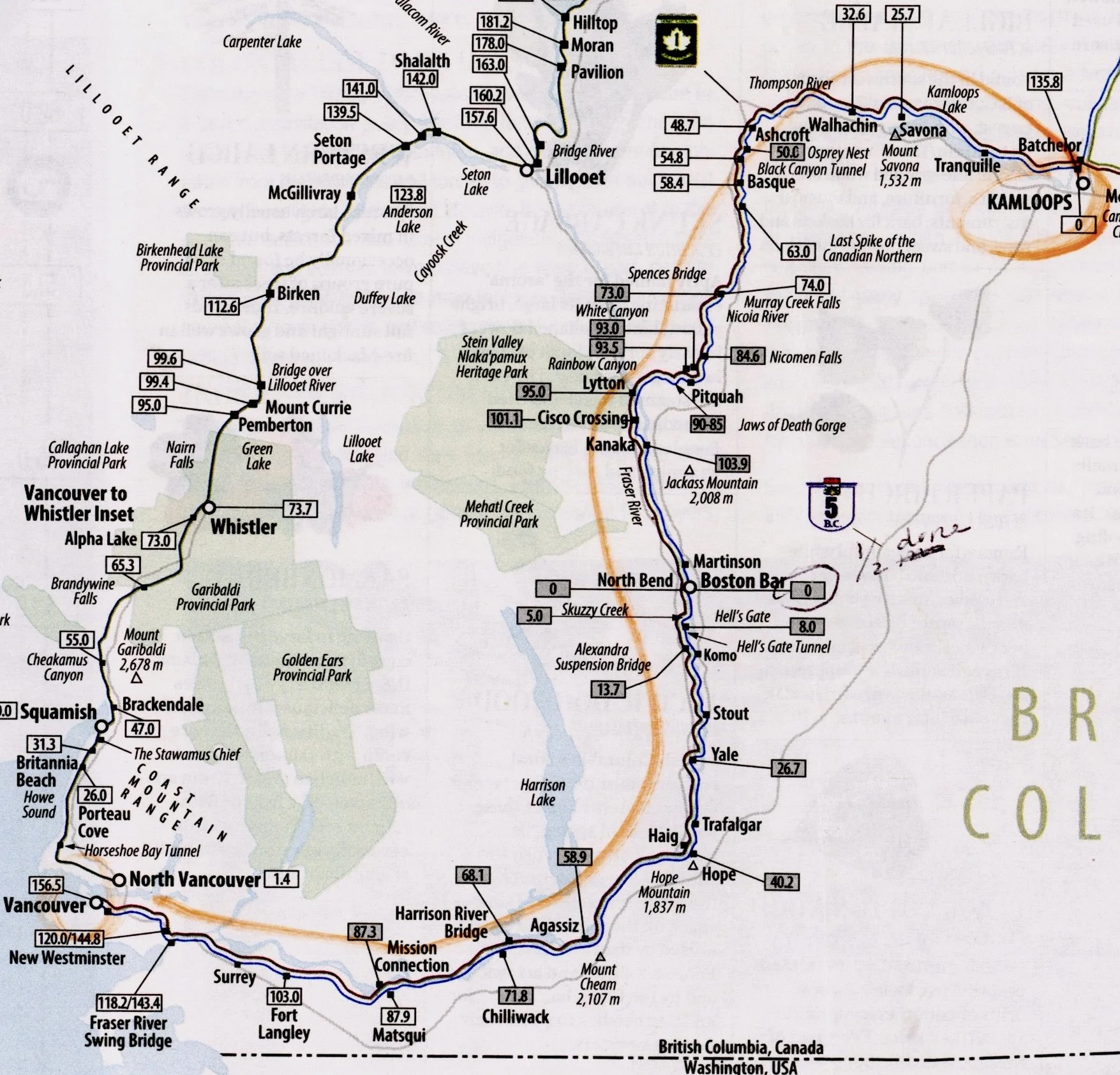
Our route in the “Rocky Mountainneer MILEPOST” publication that we were given. The “…MILEPOST” had all sorts of tidbits of information about the train & places we’d be passing. If one got bored with the fabulous scenery, there were plenty of puzzles & games inside the publication.
Prior slides above & below the rail lines?
Trans-Canada Hwy 1.
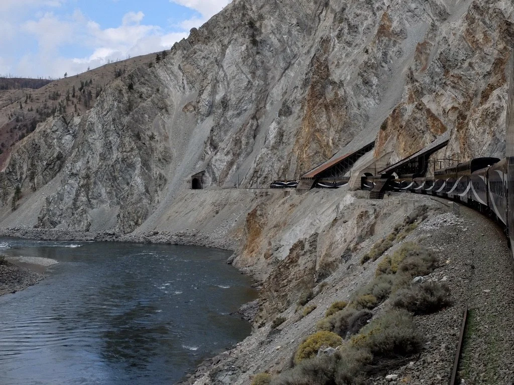
Honeymoon Tunnels on the CPR line in the Thompson River Canyon.
Isolated living. What are the three little buildings to the left? Seddall Station?
The white CN sign says Seddall - "If it was a community, we haven't been able to find any evidence that it still exists.."
-
The CNR sure had the more difficult side of the canyon on which to build their rail line...
"Jaws of Death Gorge?"
Constantly removing slide debris reminiscent of the 1964 Japanese film, "Woman In the Dunes."
Here hoo doos revealed.
“Because of large deposits of glacial silt, sand, and gravel in the lower Thompson River valley, large landslides are common. The area downstream from the town of Ashcroft is prone to landslide events; eight major events between 1880 and 1982 have been recorded.”
“STOPPED TRAFFIC”
Fluffy Bunny or Bad Attitude Rapids below the Trans Canada Hwy 1.
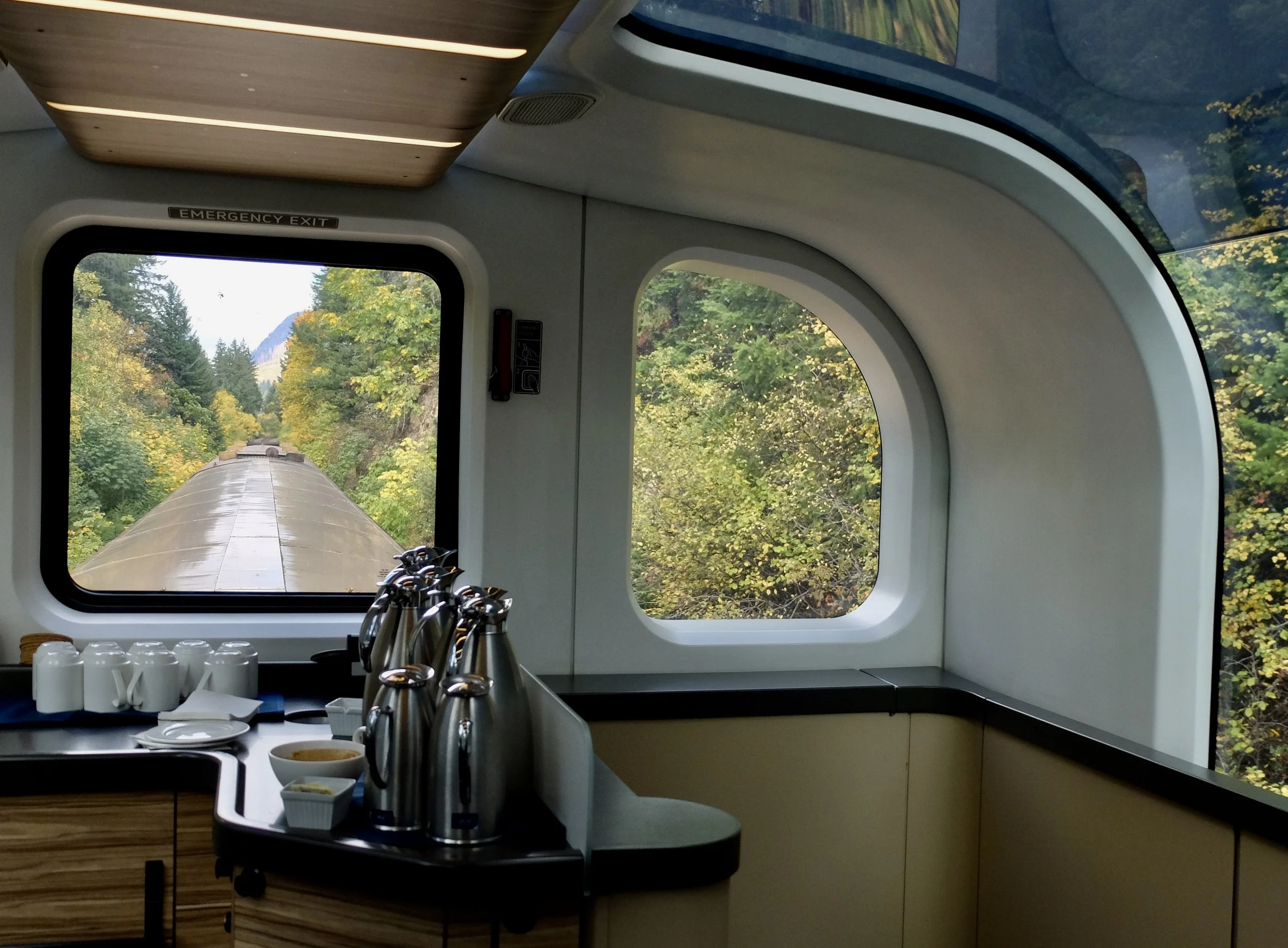
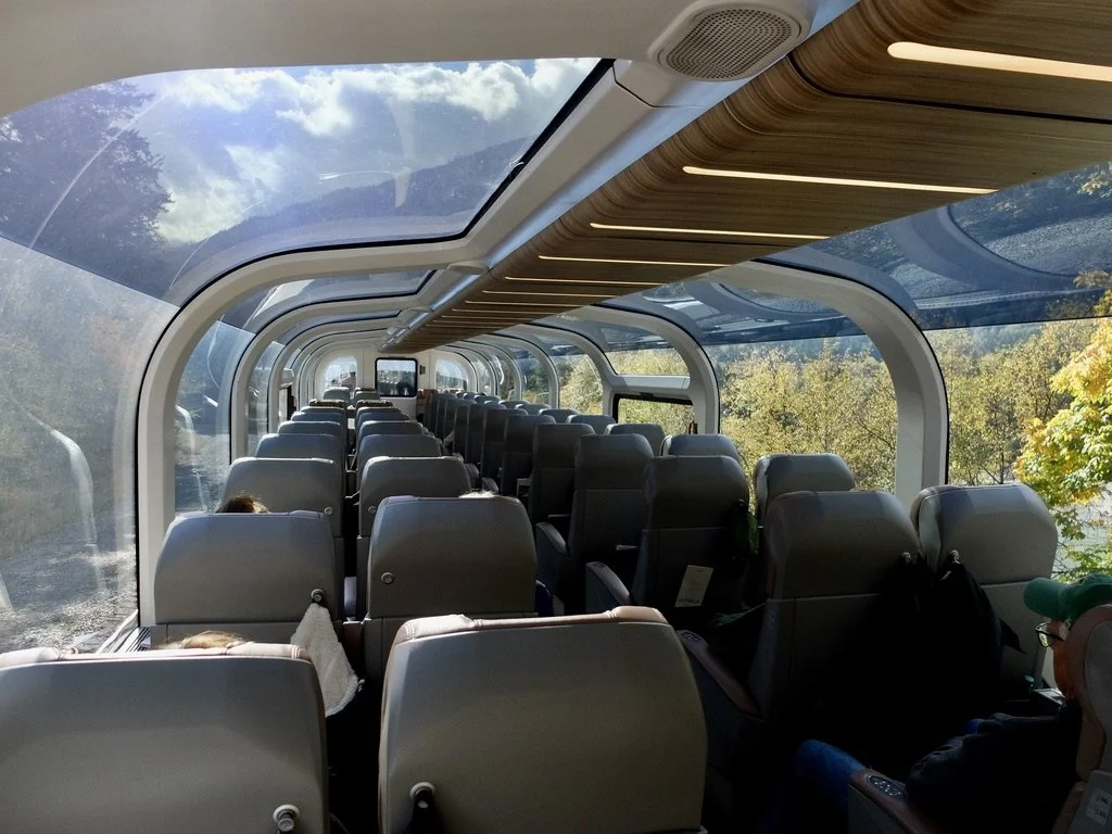
Being on the last GoldLeaf Skydome rail car gave us an unobstructed rear view.
A fellow next to me, with a US Naval Academy cap, on the viewing platform said "Someone went to a lot of trouble."
Pitquah? “… From the Thompson Indian word meaning 'little spring.' A CNR file on station names gives a more graphic account 'when it rains, the spring water up above increases, causing disaster.'“
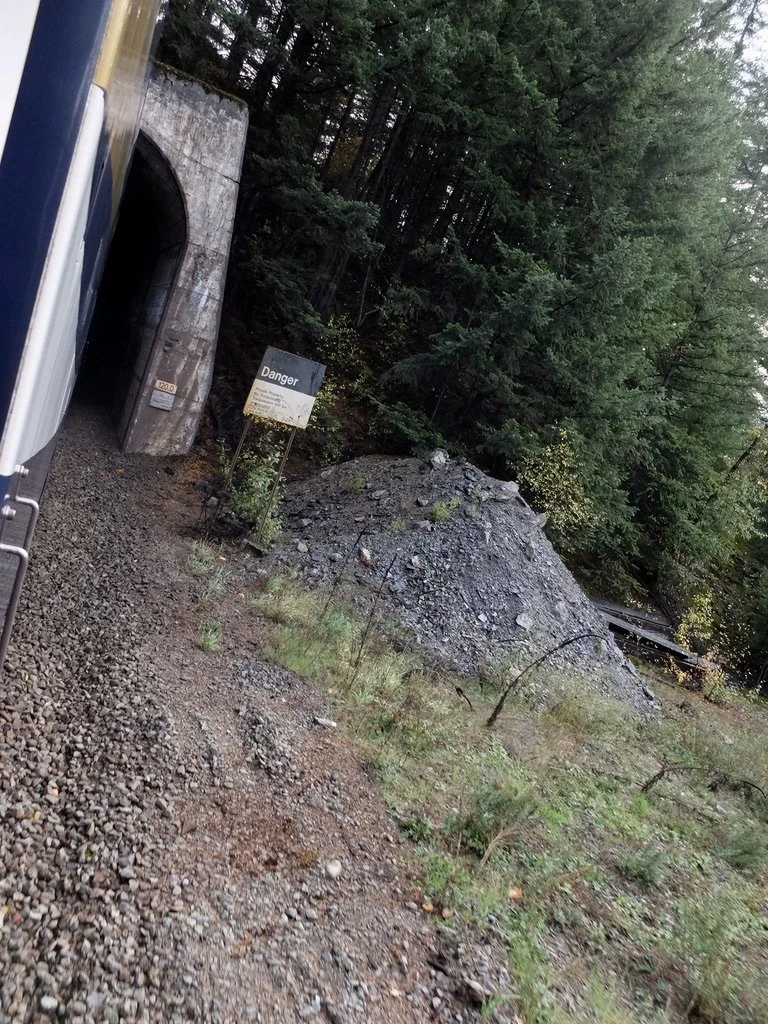
Skoonka (Skoonkoon) Tunnels in British Columbia. "They were engineered to allow trains to pass under the steep, rocky terrain of the Thompson River gorge, a challenging section of the Trans-Canada Highway corridor."
"The Skoonka Tunnels are located in the Skoonka area of British Columbia, near the Sleetsis Indian Reserve 6 and Drynoch locality, about 8 km northeast of Spences Bridge and within the rugged Thompson River Canyon."
Skoonka (Skoonkoon) Tunnels.
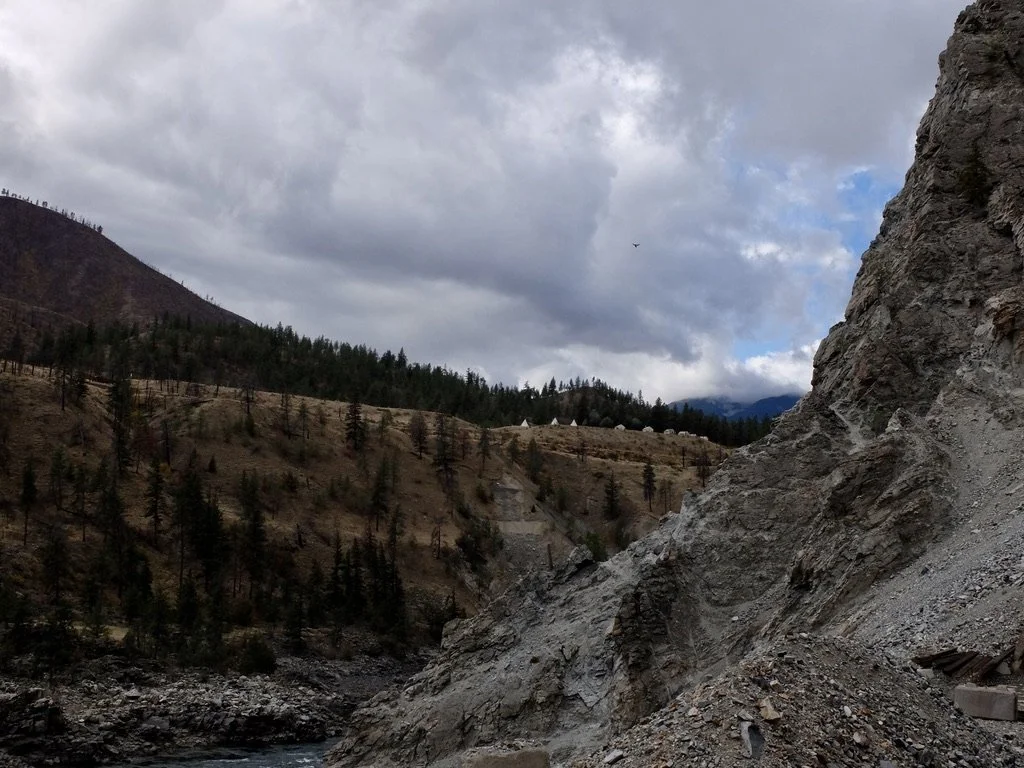
A bald eagle or osprey high above the canyon.
As we entered a Skoonka (Skoonkoon) Tunnel I noticed the buildings on the west bank. No one could tell me what they were. Based on location I guessed perhaps Sleetsis Indian Reserve 6?
Skoonka (Skoonkoon) Tunnels.
Lower Thompson River.
Ahead, on the west bank of the Thompson River, the Village of Lytton.
-
To the left of the photo is where the clear Thompson River meets the muddy Fraser River in a Conflux area. On the bluff, Lytton. BC & the Royal Canadian Mounted Police. The Lytton–Lillooet Highway Bridge (Chief David Spintlum Bridge).
Lytton. BC. June 2021 there was a record breaking heatwave & rapid-moving wildfire that destroyed most of the village.
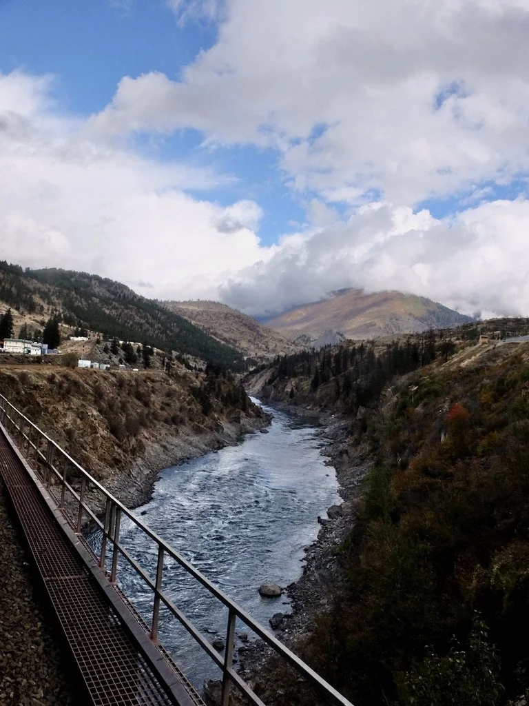
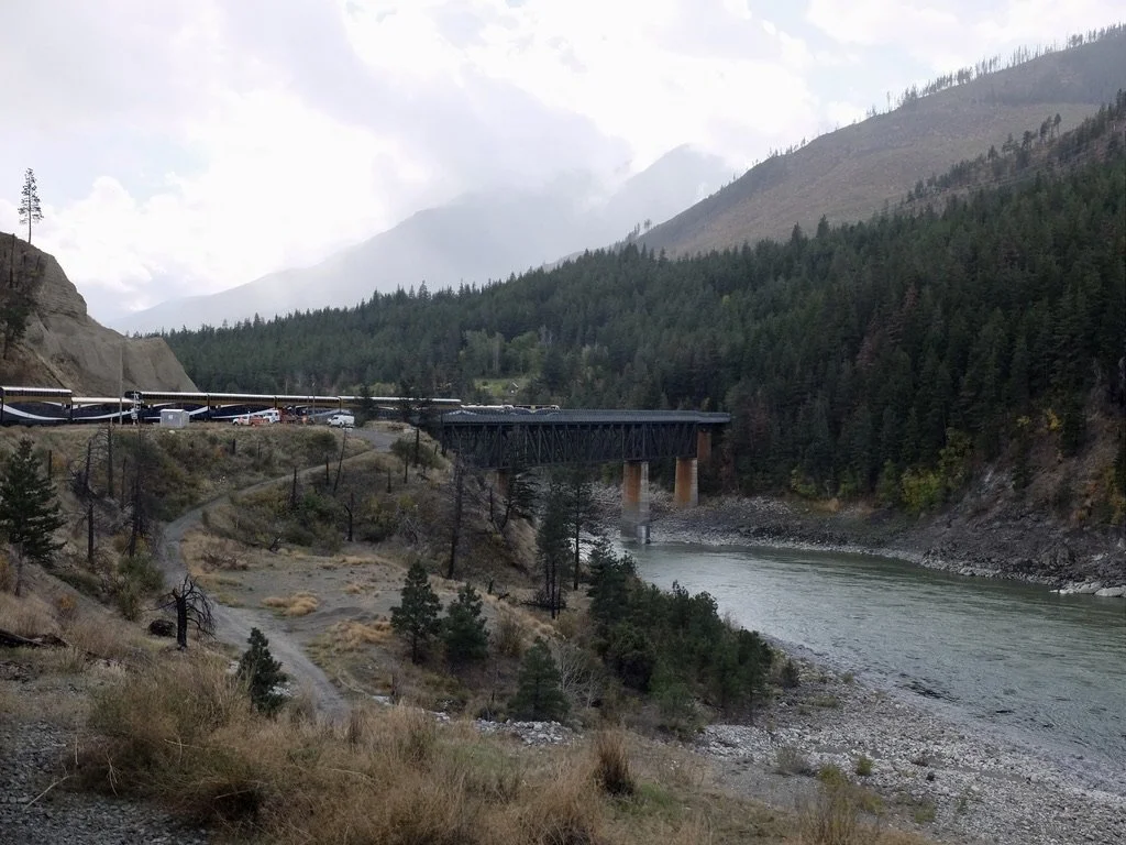
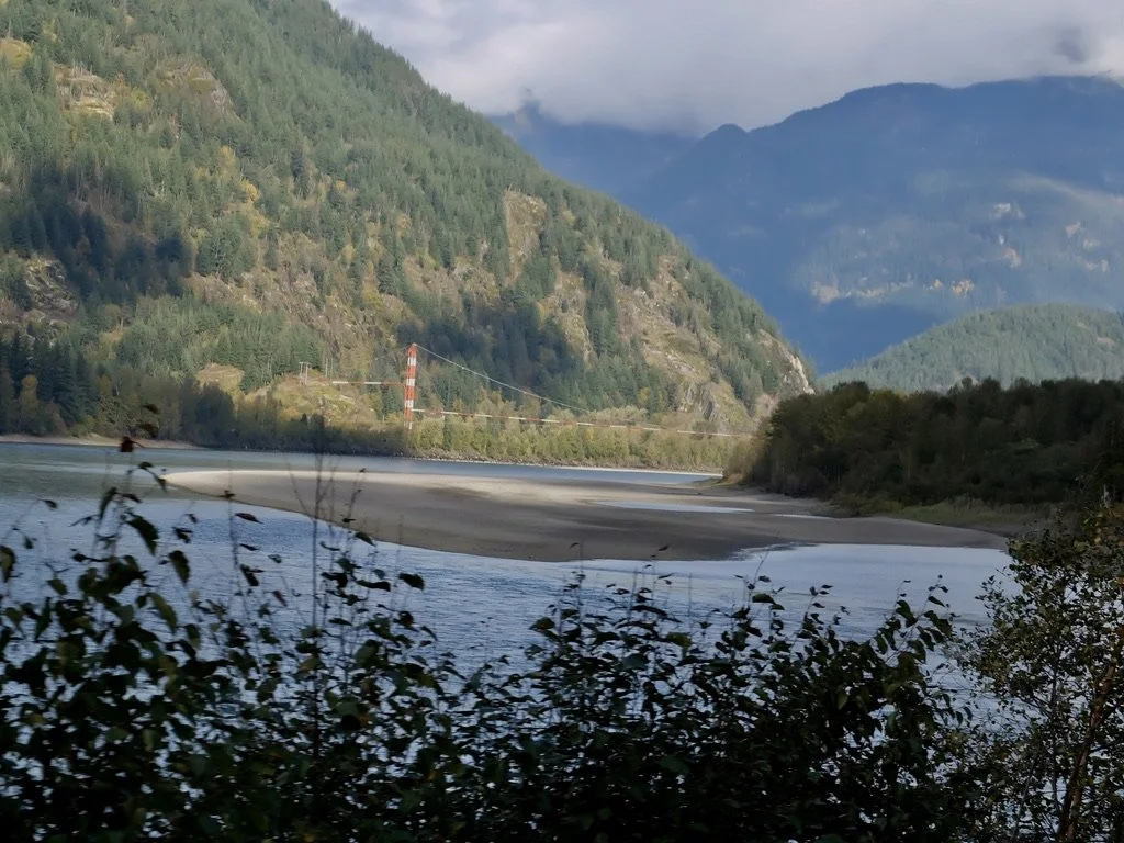
Fraser River crossing.
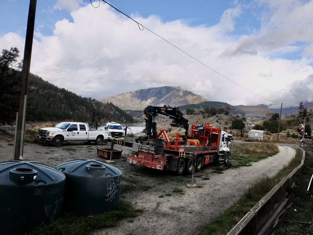
Truck for quick CN railway repairs. Lytton, BC.
Fraser River crossing.
The muddy Fraser & clear Thompson Rivers Conflux area.
CPR Cisco Bridge over the Fraser River is temporarily closed. It is the longest single-span bridge on the CN line. The one beyond, that we were about to cross over, is c. 1912.
"The Cisco Bridges are a pair of iconic railway bridges in the Fraser Canyon, BC, where the Canadian Pacific Railway (CPR) and Canadian National Railway (CNR) cross the Fraser River on opposite sides, just 100 m apart the bridges are located at Siska, about 9.4 km south of Lytton, BC, in the Fraser Canyon This is where the CPR and CNR routes swap banks of the Fraser River due to the narrow, steep terrain Cisco Bridges are considered one of Canada’s most famous railfan locations, offering dramatic canyon scenery, the rare chance to see both CNR and CPR trains, and a rich railway history."
Fraser River & a CNR freight train.
Yes, aspens can be red.
Our Sundog Guide David Baker had said that he liked that in autumn the aspens changed color & revealed themselves from the rest of the green trees.
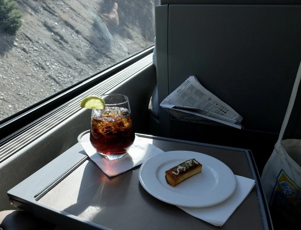
Pre-dinner appetizer.
That’s the “… MILEPOST” in the seat pocket.
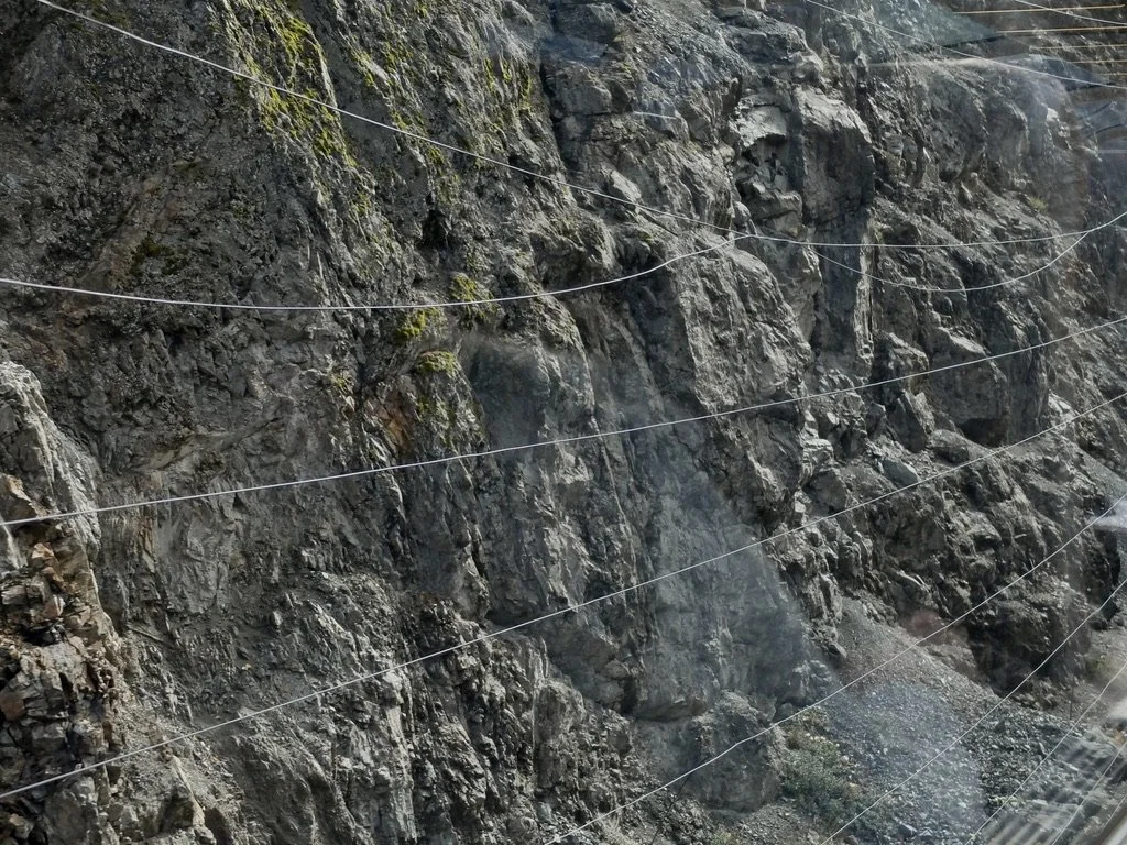
These wires detected falling rocks alerting rail personnel to the possiblity of an avalanche.
-
-
Jackass Mountain is in this neighborhood but not visible from the train. “It is named for the muletrains that ventured north to the Cariboo gold fields; apparently some did not make it over the bluff and perished in a fall, hence the name.”
"The Fraser Canyon Highway Tunnels were constructed from the spring of 1957 to 1964 as part of the Trans-Canada Highway project. "
-
The viewing platform.
-
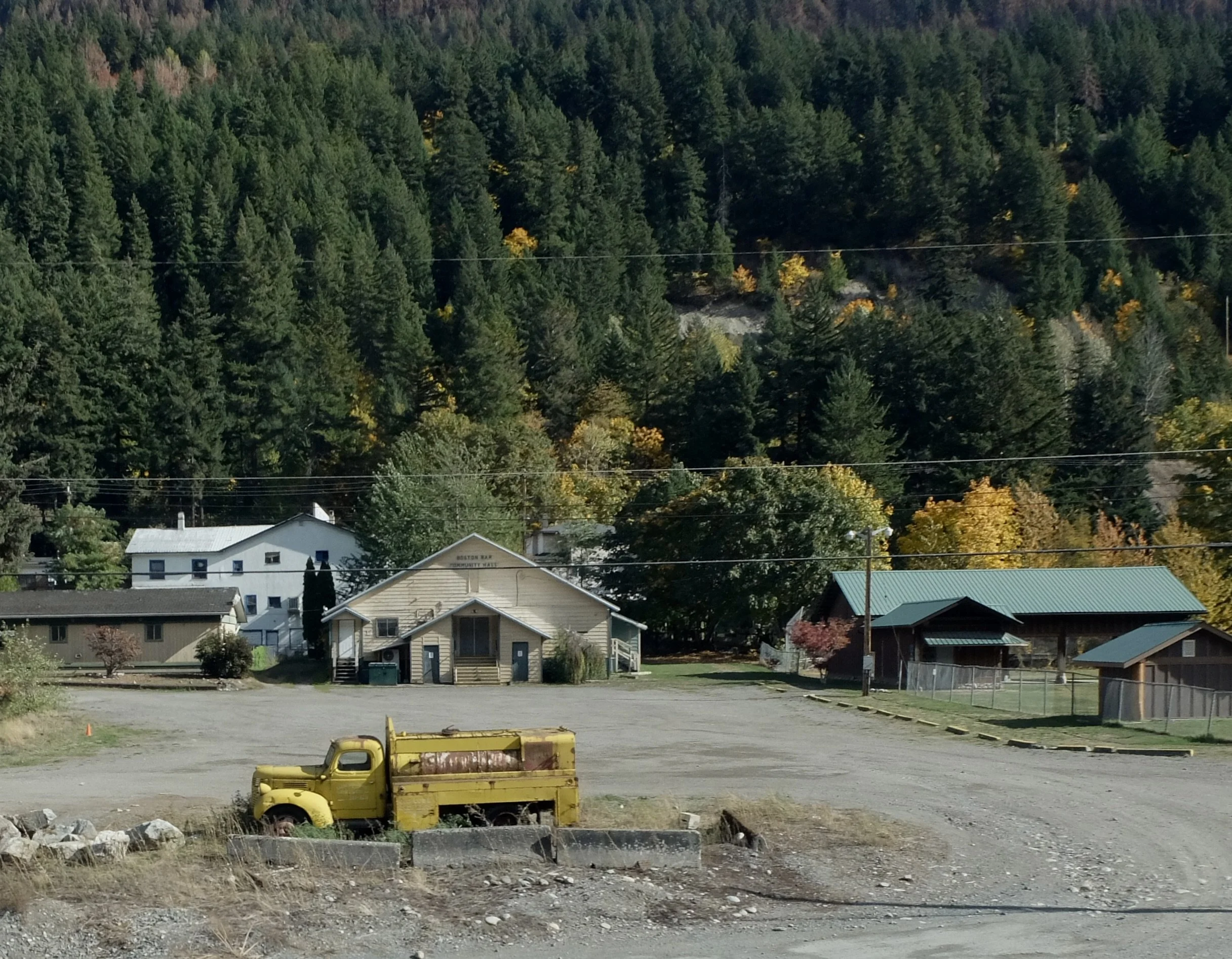
Boston Bar, BC. “The name dates from the time of the Fraser Canyon Gold Rush (1858–1861). A ‘bar’ is a gold-bearing sandbar or sandy riverbank, and the one slightly down river and opposite today's town was populated heavily by Americans, who were known in the parlance of the Chinook Jargon as ‘Boston men’ or simply ‘Bostons.’"
Anderson River (Creek) Bridge of the Trans-Canada Hwy which had been following us all along.
-
The Fraser River is narrowing here.
"The Fraser Canyon's most popular & renowned tourist attraction is Hell's Gate, the narrowest part of the Fraser River." In 1908, Simon Fraser wrote "...for surely these are the gates of Hell."
"In 1946...a joint Canada-USA project, a series o eight conceete fishways were completed...slowing the current's speed allowing spawning salmon to journey safely upstream."
Hell’s Gate, BC. We’re very close to Hwy 1 here so this is a big tourist destination.
-
Waterfalls along the Fraser River.
Trans Mountain Pipeline Bridge over the Fraser River. "...a multiple product pipeline system which carries crude and refined products from Edmonton, Alberta, to the coast of British Columbia."
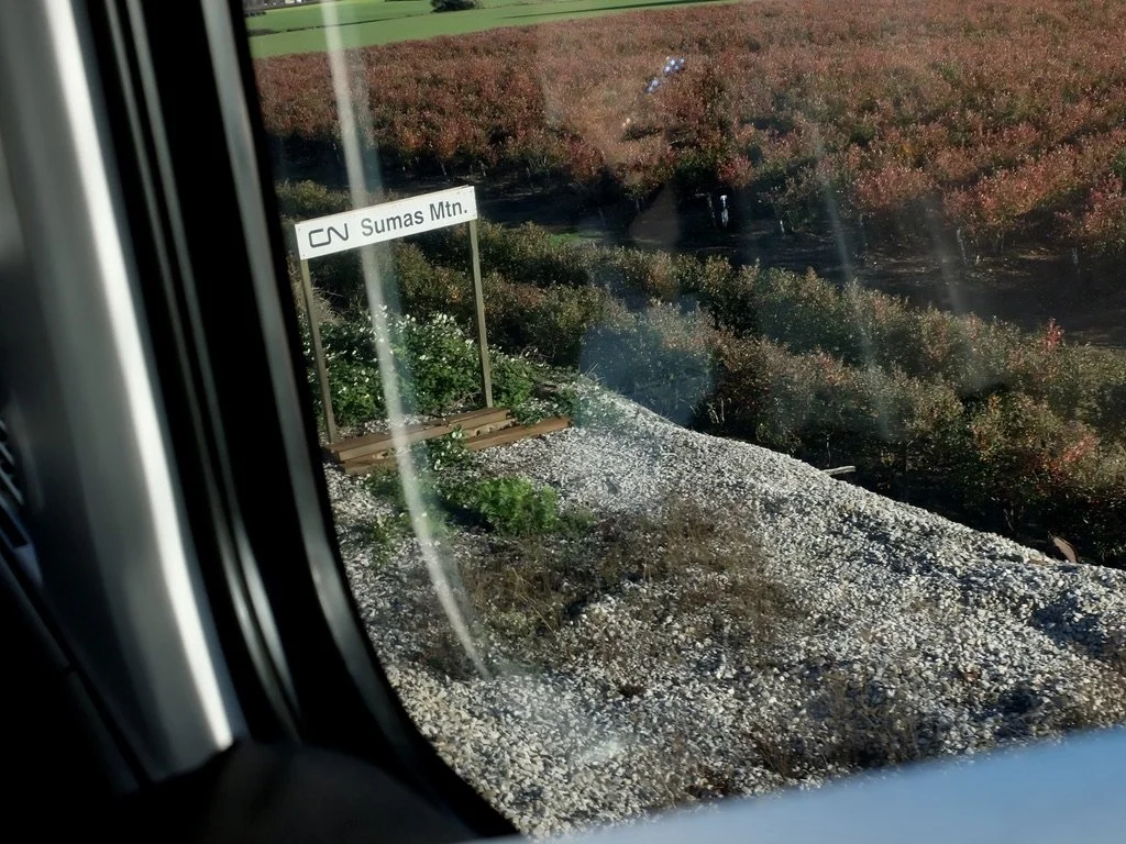
Sumas Mountain a regional park in Abbottsford, a distant suburb of Vancouver.
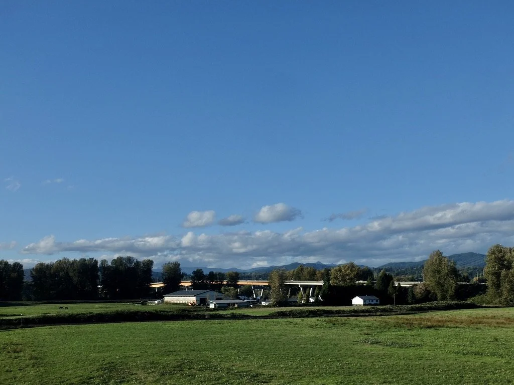
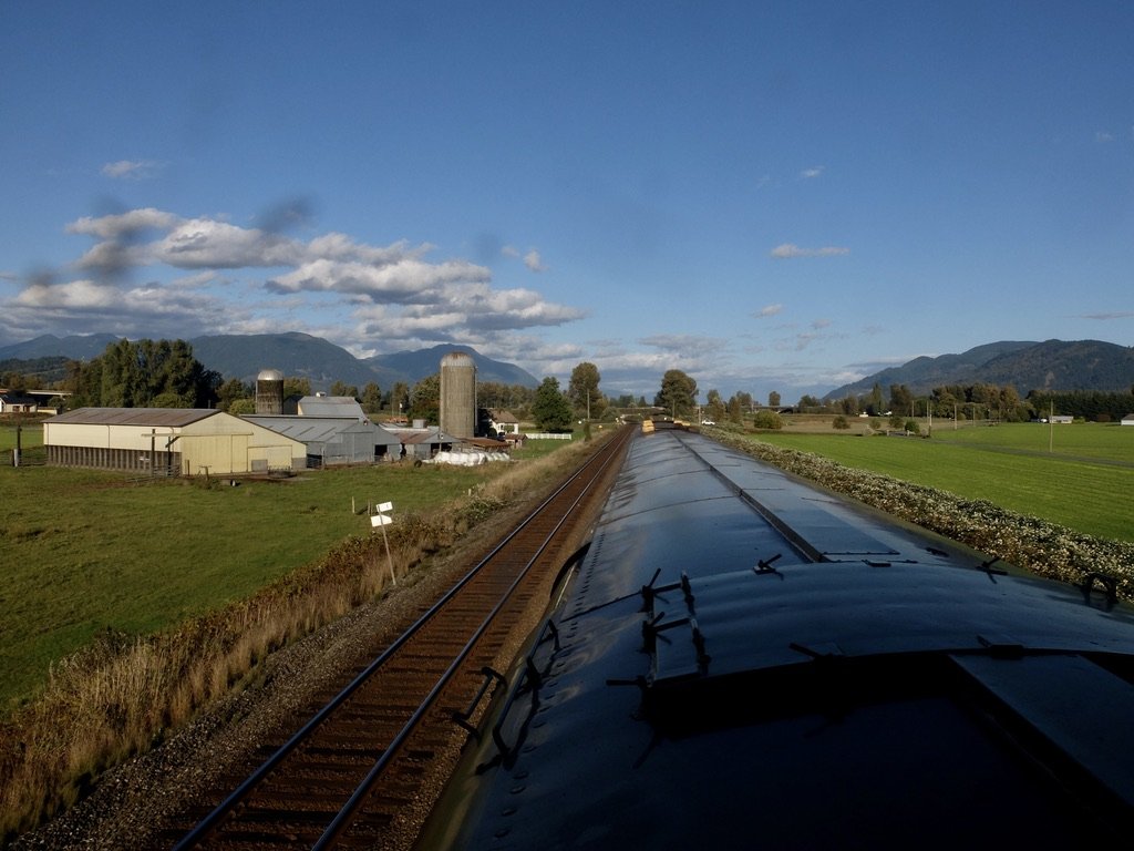
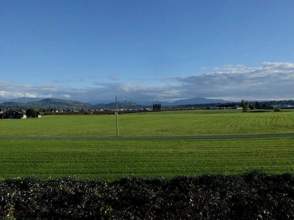
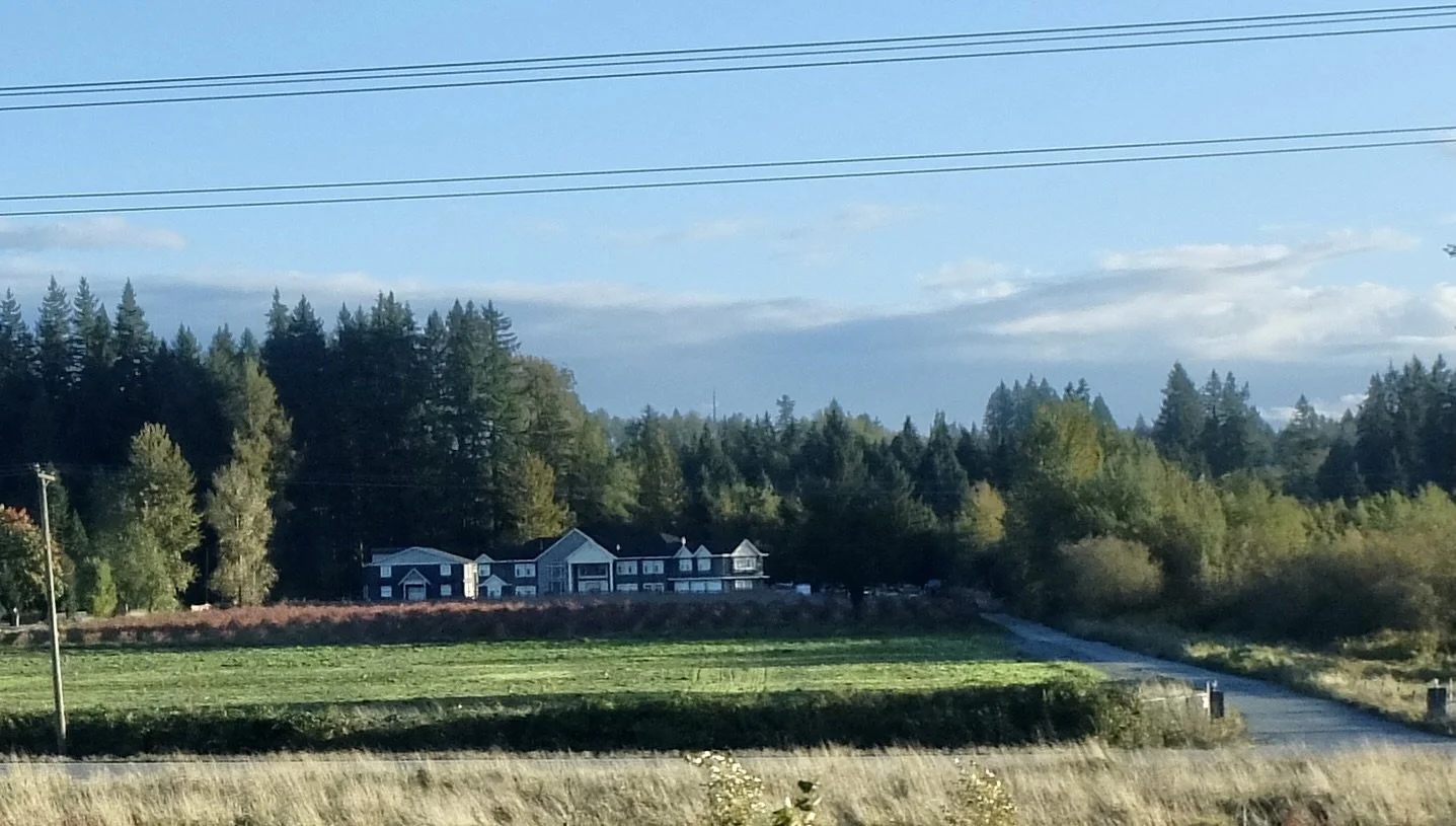
A farm in the Sumas Prairie close to Canada Hwy 1.
A farm in the Sumas Prairie. In the blog about People, Places & Critters I had photos of calves nursing on this farm.
"The 'reclaimed' land around Sumas Mountain is Sumas Prairie, created in 1924 by draining Sumas Lake through engineered water control systems, turning a once-lakebed into one of BC’s most valuable agricultural zones." The land was auctioned off.
Sumas Prairie.
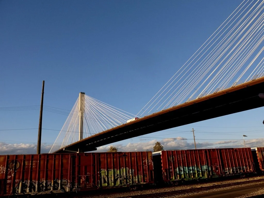
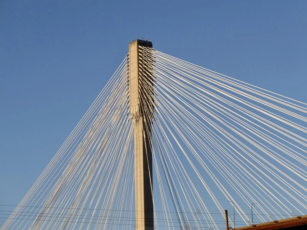
“The Port Mann Bridge…is a massive cable-stayed structure that carries the Trans-Canada Highway (Highway 1) across the Fraser River.”
The Port Mann Bridge holds the title of world’s widest bridge at 10 lanes.
The Port Mann Bridge - “The bridge opened to traffic in 2012 and includes space reserved for a potential light rail line. The bridge carried an average of 179,435 vehicles per day in 2025 and is the busiest bridge in Canada.”
The Port Mann Bridge.
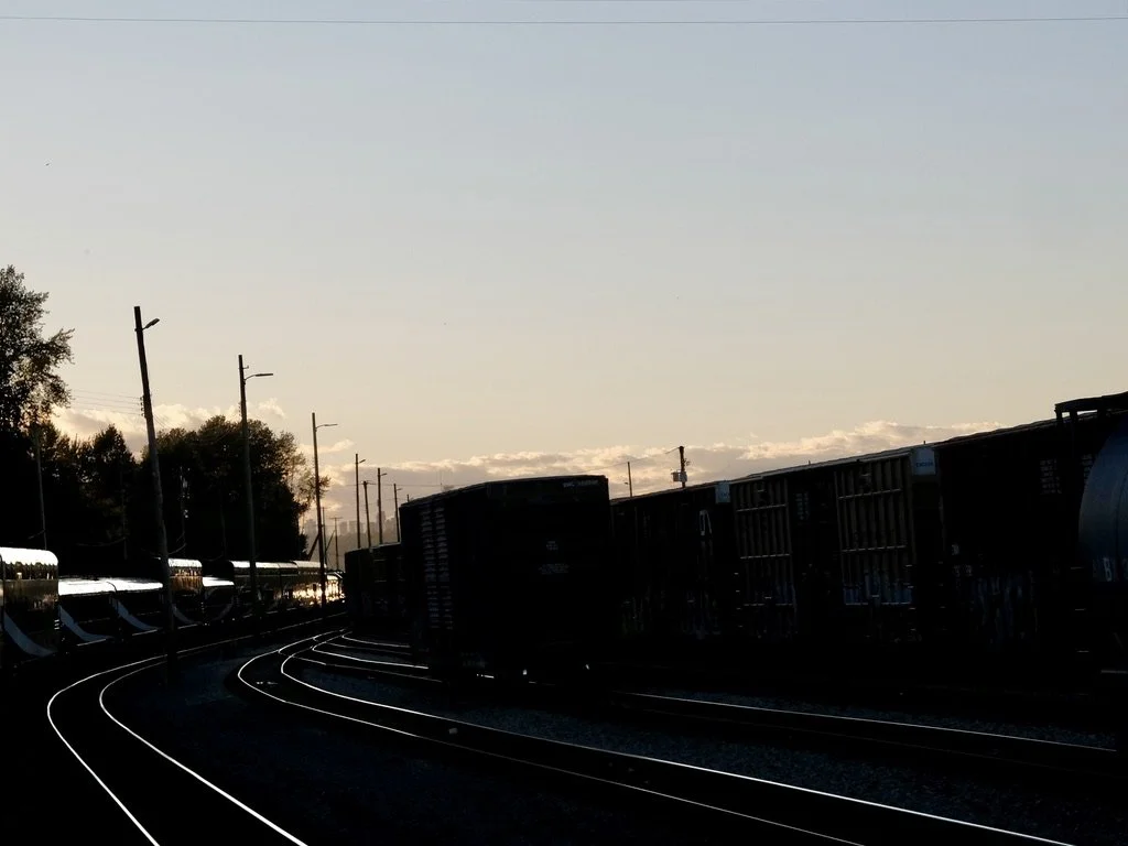
The Vancouver skyline at sunset in the train yards.
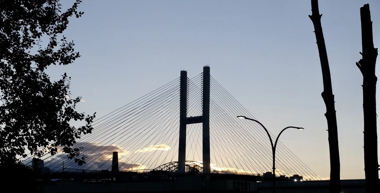
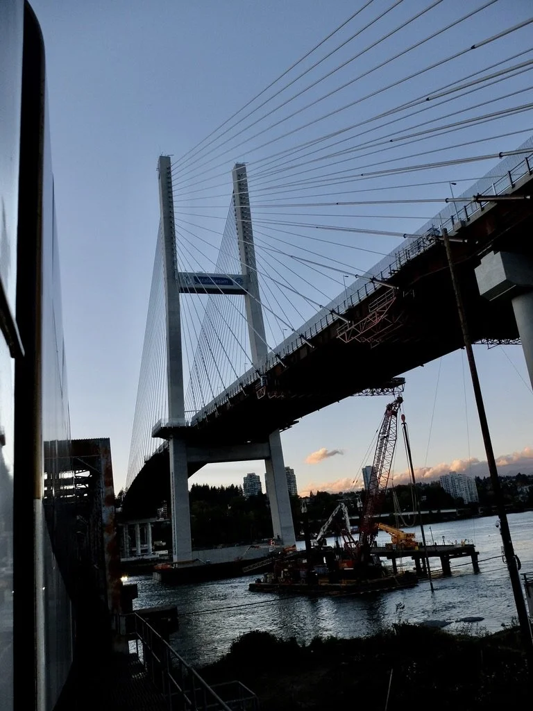
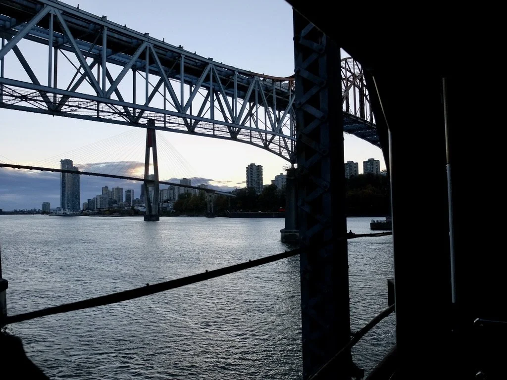
“The stal̕əw̓asəm Bridge also known as the Riverview Bridge, is a cable-stayed bridge spanning the Fraser River. The crossing officially opened on February 14, 2026.”
The Rocky Mountaineer between the The stal̕əw̓asəm Bridge that replaced the 1937 Pattullo Bridge that’s now being demolished.
The stal̕əw̓asəm Bridge (Riverview Bridge) over the Fraser River.
“The Halkomelem name stal̕əw̓asəm was given by the Musqueam Indian Band and Kwantlen First Nation. In hən̓q̓əmin̓əm̓, it means “a space where you can view the river”, which inspired the English name ‘Riverview.’”
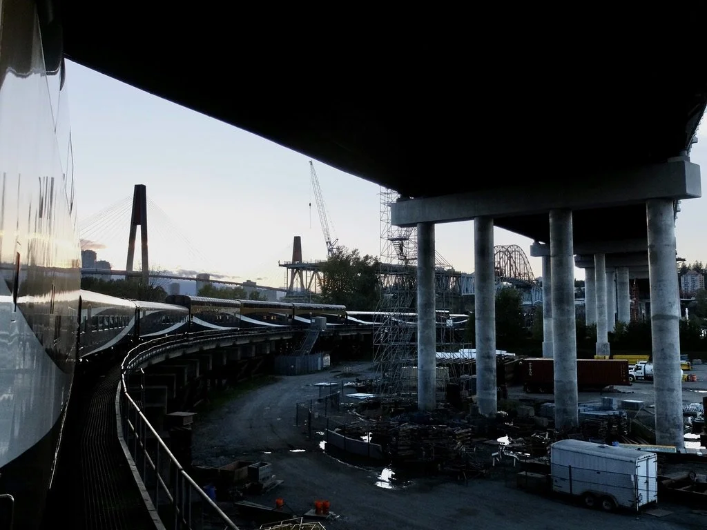
Skytrain Bridge seen under the Pattullo Bridge that’s being demolished.
“This particularly graceful cable-stayed bridge was built in 1986 for Skytrain, the rapid transit project that opened for Expo 86.”
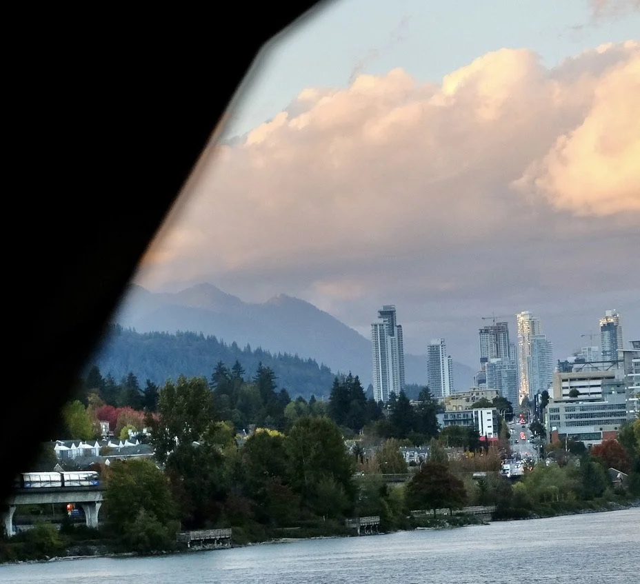
Downtown Vancouver.
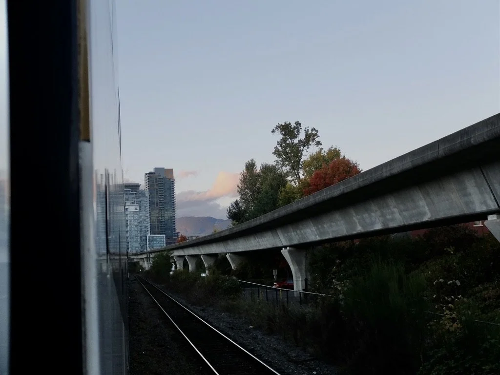
Our Rocky Mountaineer is in the lower left. Parallel to it run the tracks for the Skytrain, 5th busiest metro system in Canada and the US.
“The name ‘SkyTrain’ was coined for the system during Expo 86 because the first line (Expo) principally runs on elevated guideway outside of Downtown Vancouver, providing panoramic views of the metropolitan area.”
If I had known this before I would have tried to fit a SkyTrain ride into our visit.
Finally coming close to downtown Vancouver.
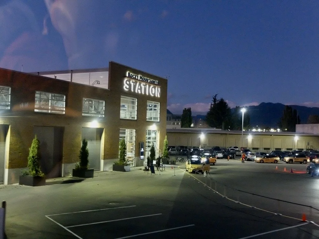
It took about one hour to traverse the Vancouver rail yards.
Twelve hours after we left our Kamloops hotel, we were on a bus taking us to the Fairmont Vancouver Hotel.
Next, Vancouver & a float plane to Victoria.